
Three navigation layers that can strengthen a remote heritage trip: a printed topographic map, a dedicated GPS, and a shared digital map plan.
The map board I build before I lose service
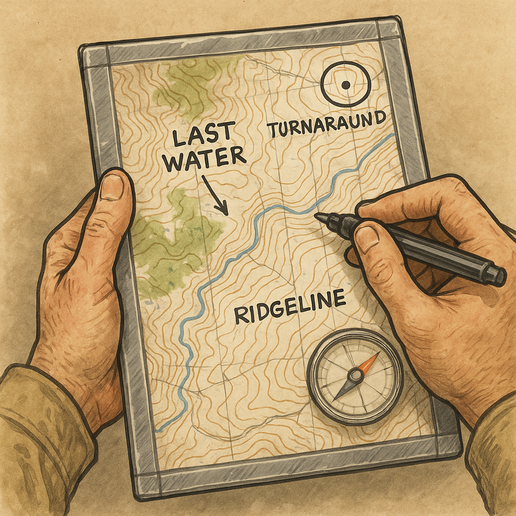
I used to think paper maps were a nostalgic hobby until my phone got weird at the exact moment I needed it. Not dead. Not broken. Just cold, dimmed, and laggy while I was trying to confirm which drainage I was about to commit to. Since then, I have built a map board for any approach in which the heritage spot is the point, and the terrain is the gatekeeper.
Here’s the simple version that’s survived dust and sweaty hands. I print a USGS topo (or another reputable topo) at a scale I can read without squinting, then tape it to a thin piece of corrugated plastic (the signboard material). Clear packing tape over the whole face makes it water-resistant and turns it into a write-on surface. Before leaving pavement, I mark three things with a fine-tip Sharpie: (1) the last reliable water, (2) a hard turnaround time, and (3) two obvious handrails I can follow even when my brain is fried, like a ridgeline or a wash. I also mark closures, permit boundaries, private land, and culturally restricted areas after checking current land-agency guidance and any access requests from local or Indigenous communities. A mapped route is not permission to enter every place it reaches.
The part I didn’t expect to love is how physical it is. You can rotate it with the terrain, take a bearing with a compass without juggling devices, and jot notes like “fence line is new” or “cairn at saddle is gone” without opening an app. When I’m moving with one other person, the board lives in the outer mesh pocket and comes out at every major decision point. It looks dorky. It works.
Why I carry a dedicated GPS even when I have Gaia
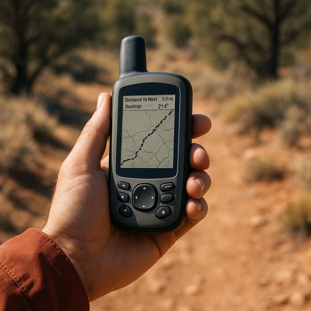
I love a good phone map. I also don’t pretend it’s my primary navigation tool when I’m hours from the truck and the destination is a fragile place people only get one shot to treat well. My contrarian take: the clunky handheld GPS earns its spot because it forces fewer improvisations when conditions get ugly.
I’m not loyal to one model, but the pattern is consistent. A dedicated unit, such as a Garmin GPSMAP or eTrex, has physical buttons you can operate while wearing gloves, a screen designed for outdoor visibility, and replaceable batteries that provide a predictable backup. I run lithium AAs in the unit and carry one spare set in a zip bag. That’s it. No mystery power draw because I took too many photos or because an app updated itself at the worst possible time.
The way I use it for remote heritage approaches is boring on purpose. At the last spot with service, I create three waypoints: the trailhead (or the start of the walk), the last obvious junction, and a "slow down here" point short of the site where I intend to reduce screen use, confirm access restrictions, and navigate the final stretch with extra care. That last point matters. It’s my reminder that the goal isn’t to walk right up to something delicate with a beeping device in my hand. It’s to arrive paying attention.
On the unit itself, I keep the data page simple: distance to the next waypoint, bearing, and a recorded breadcrumb track. I don’t chase perfect accuracy. If the GPS says I’m within 30 feet, I treat it like I’m in the right neighborhood, not standing on the exact doorstep. The win is consistency. The handheld does the same thing every time, and I don’t have to baby it. That frees up my attention for the stuff that’s harder to fix later: where I’m stepping, what I’m touching, and whether I’m about to cut a new path around someone else’s old mistake.
The GeoPDF handoff that keeps a group on one map
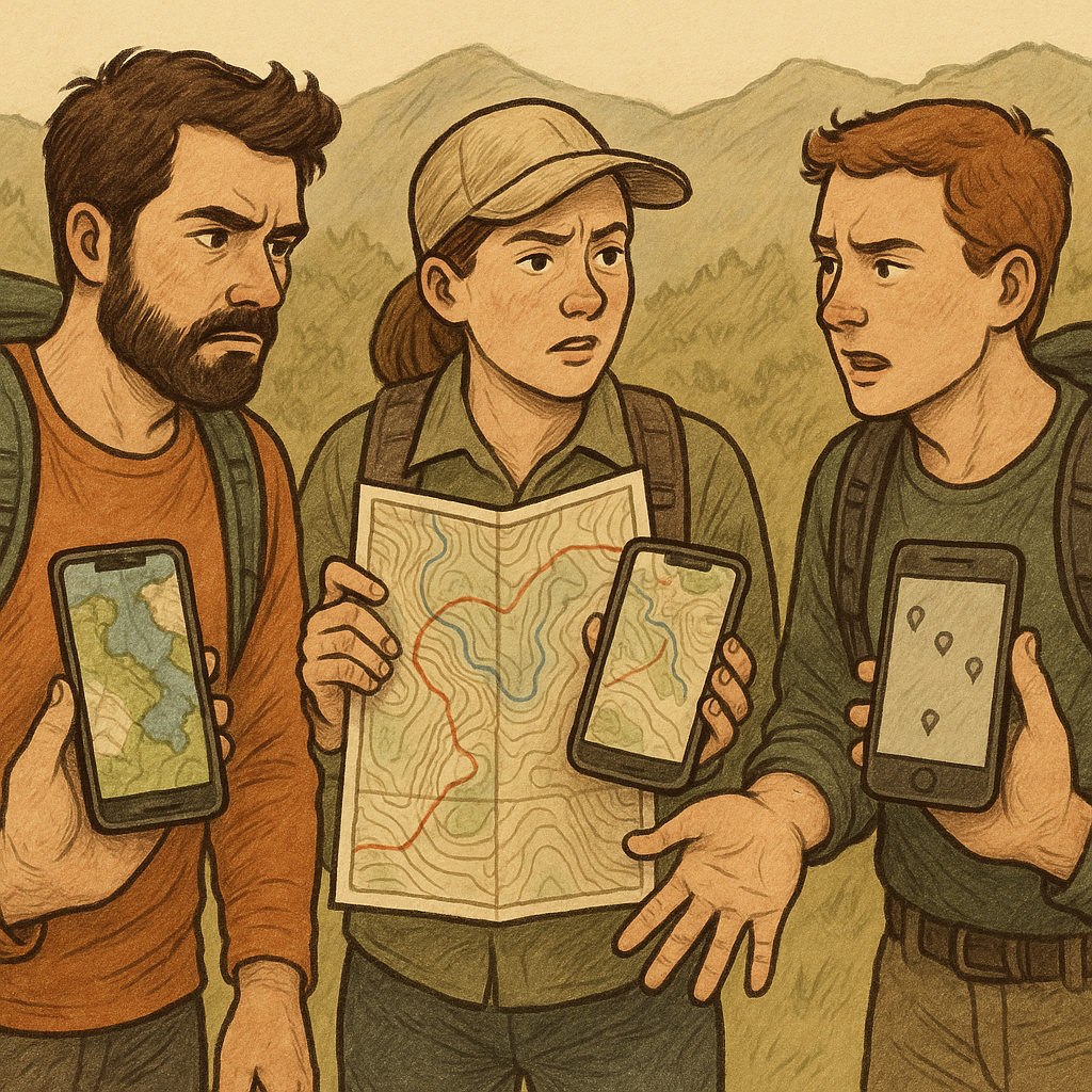
Here’s the failure I’ve watched happen in slow motion: you’re with two or three people, everyone claims they “have the map.” Then you realize you’ve got three different basemaps, two coordinate formats, and one person who downloaded the area at a random zoom level that made the labels vanish. It turns into a polite argument at every turn, and those little delays add up fast when you’re trying to reach a remote heritage spot with enough daylight to approach calmly and leave the place looking untouched.
My fix is a GeoPDF handoff. It gives the group one shared map with consistent labels, symbols, and coordinates. I grab an official GeoPDF when one exists (often from a land agency), then load it into Avenza Maps. If the group doesn’t use Avenza, I still share the GeoPDF as a standard reference map, although its location features may require compatible software. The key is that we all look at the same cartography, with the same labels, and we agree on the same symbols before we ever start walking.
Before the trip, I do a quick kitchen-table drill. I drop pins for: planned parking, planned camp (if relevant), the point where I expect to lose any faint tread, and a conservative turnaround line. Then I export a KMZ/GPX file for anyone using a different device, and I also screenshot the one page of the map that includes the whole approach. Screenshots sound low-rent, but they’re nearly impossible to mess up and load instantly, even when a phone is struggling.
The most useful part of this setup isn’t the tech. It’s the handoff moment. I text the file to everyone, then ask them to read back two things: the coordinate format we’re using (I default to UTM for on-foot navigation), and the name of the turnaround pin. If they can’t find those in 30 seconds, we fix it while we still have Wi-Fi and patience. Out there, the group should be concentrating on route choices, changing conditions, and protecting the site rather than troubleshooting incompatible map settings.