10 Secrets of the Wild West Town Hiding at the Edge of a Crimson Canyon
Most towns that are located beside national parks spend decades turning themselves into polished tourist machines. Torrey never really did. The place still carries traces of cattle country, pioneer settlements, outlaw folklore, sandstone schoolhouses, and long desert roads that feel disconnected from the rest of modern America. Capitol Reef National Park may dominate the postcards, but Torrey has its distinct pull.
The town is shaped by geological upheaval, frontier survival, local rumor, and longtime isolation. It feels like several different versions of the American West stacked together beside the same stretch of crimson canyon.
The Town Used to Have a Completely Different Name
Credit: St. George News
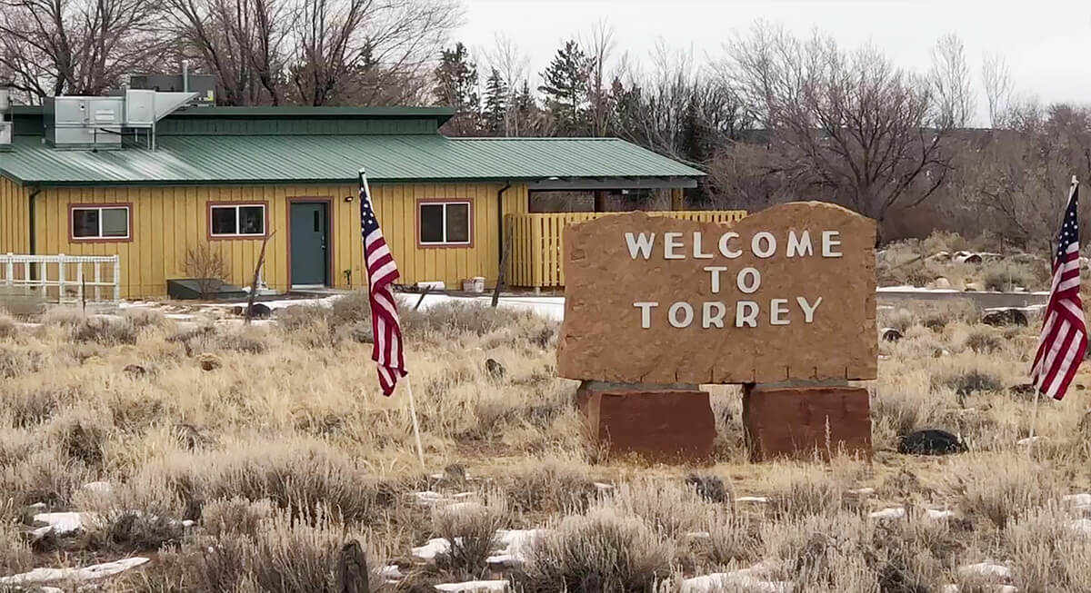
Torrey was founded by Mormon settlers, who originally called the community Youngstown. They tied it to John Willard Young, a leader connected to the early expansion of settlements across Utah Territory. The name changed later in honor of Colonel Jay L. Torrey, a Wyoming rancher and military figure linked to Theodore Roosevelt’s Rough Riders proposal during the Spanish-American War.
A Giant Geological Wrinkle Runs Beside the Town
Credit: Wikipedia
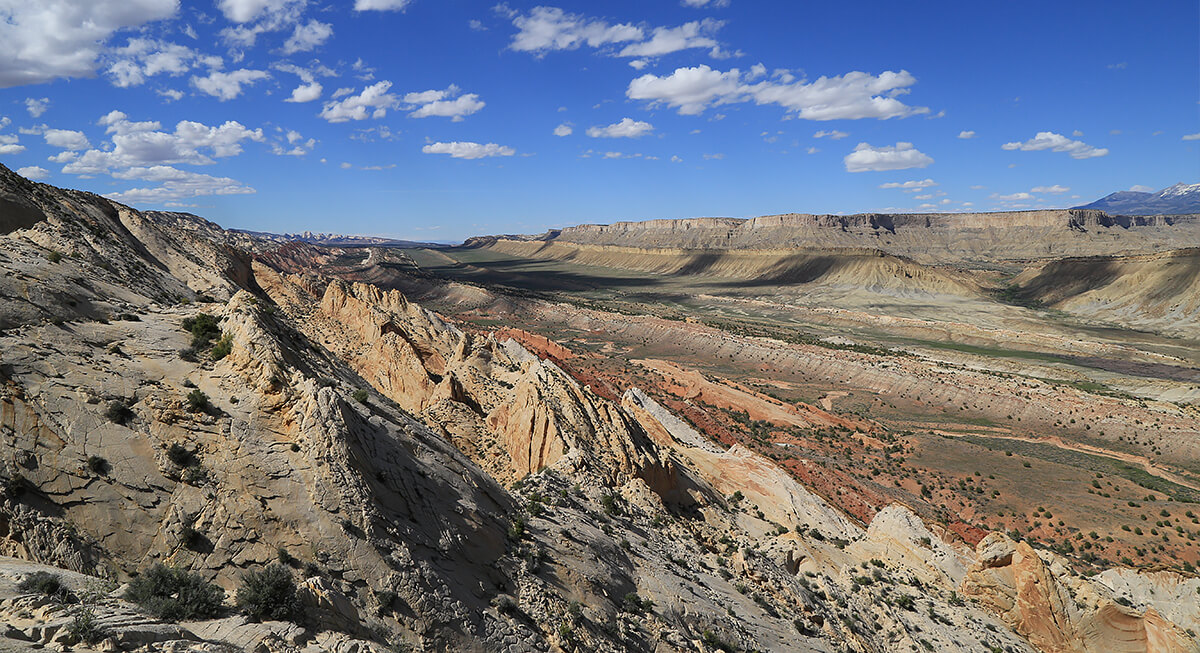
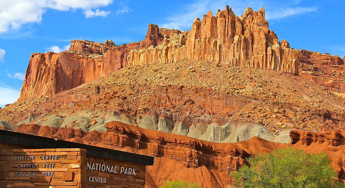
Capitol Reef National Park preserves the Waterpocket Fold, a nearly 100-mile wrinkle in the Earth’s crust that was created millions of years ago through tectonic movement. The cliffs, domes, narrow canyons, and warped rock layers surrounding the area all connect back to that massive fold. Early travelers compared the ridges to dangerous ocean reefs because the terrain blocked movement across southern Utah.
Local Lore Still Ties the Area to Butch Cassidy
Credit: Wikipedia
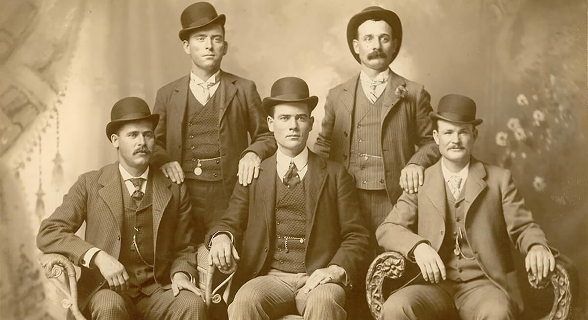
Outlaw stories continue hanging over Torrey and the surrounding canyon country. Local accounts have long connected the region to Butch Cassidy and members of the Wild Bunch, who supposedly used the maze of cliffs and hidden passages as shelter while avoiding law enforcement. Some stories claim gang members attended dances near town before disappearing back into the canyon landscape. Capitol Reef even contains a natural feature called Cassidy Arch, named after the famous outlaw. Hard evidence tying Cassidy directly to every local tale remains thin.
The Old Schoolhouse Became the Town’s Social Lifeline
Credit: Blogger
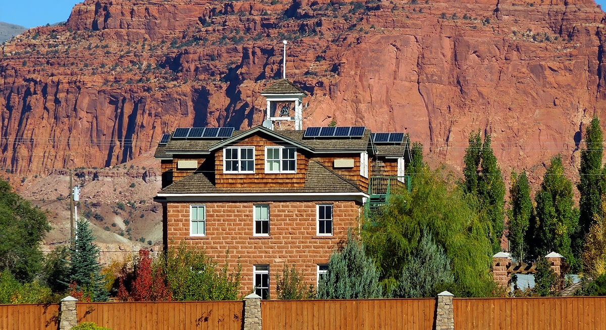
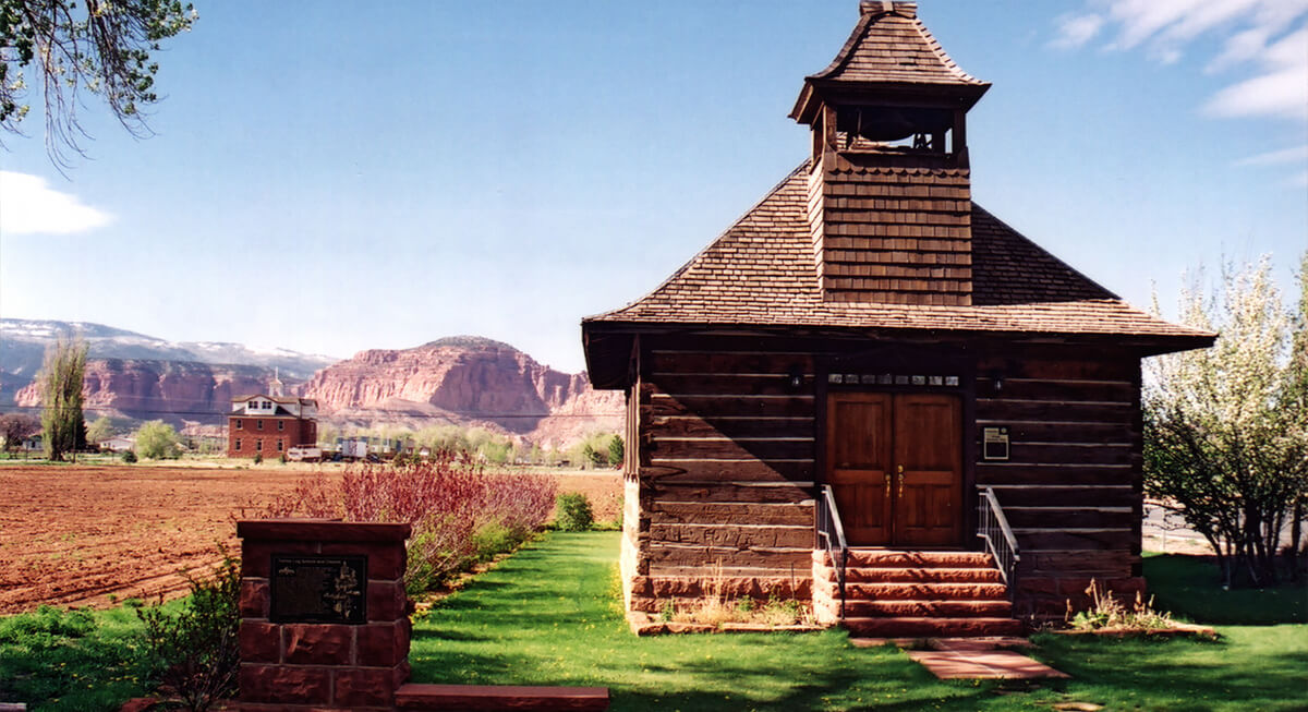
The Torrey Schoolhouse was built from locally quarried sandstone blocks in the early 20th century. The structure also hosted dances, church services, boxing matches, meetings, and community gatherings. Mule teams hauled the heavy stones from nearby formations before workers assembled the large three-story building by hand. In a remote settlement surrounded by rough terrain, the schoolhouse became the closest thing the town had to a civic center. Today, the restored structure still stands.
Torrey Became One of America’s Best Stargazing Towns
Credit: Youtube
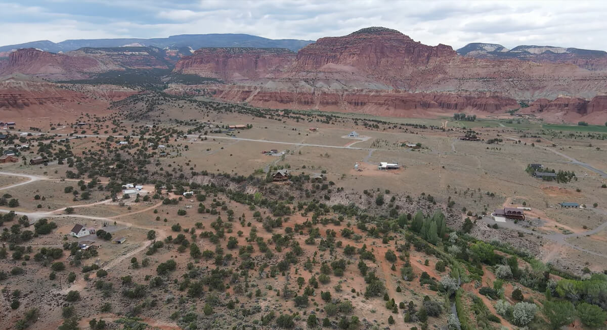
Torrey became Utah’s first International Dark Sky Community, recognized for unusually low light pollution and exceptional visibility of the night sky. On clear nights, the Milky Way is visible across the desert landscape with detail. Visibility exists partly because the surrounding region is sparsely populated and geographically isolated. Travelers arriving from larger cities sometimes describe the darkness itself as shocking.
Capitol Reef Once Had a Completely Different Identity
Credit: Wikimedia Commons
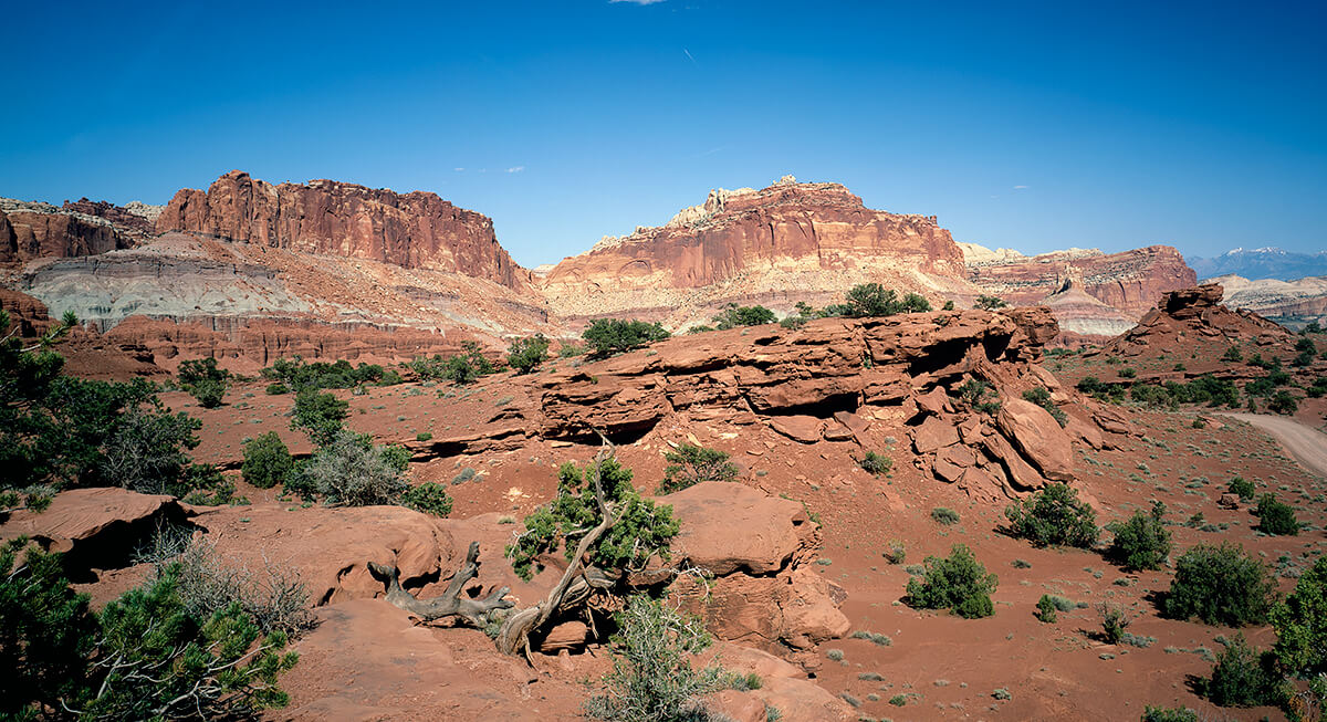
Long before Capitol Reef became a national park, promoters pushed the region under the name Wayne Wonderland. During the early 20th century, local boosters tried attracting visitors to the rugged canyon country by comparing it to other famous Western destinations already drawing tourists. The nickname reflected how strange and dramatic the surrounding landscape appeared to outsiders. Torrey developed beside that evolving identity.
A Desert Orchard Settlement Still Exists Nearby
Credit: Wikimedia Commons
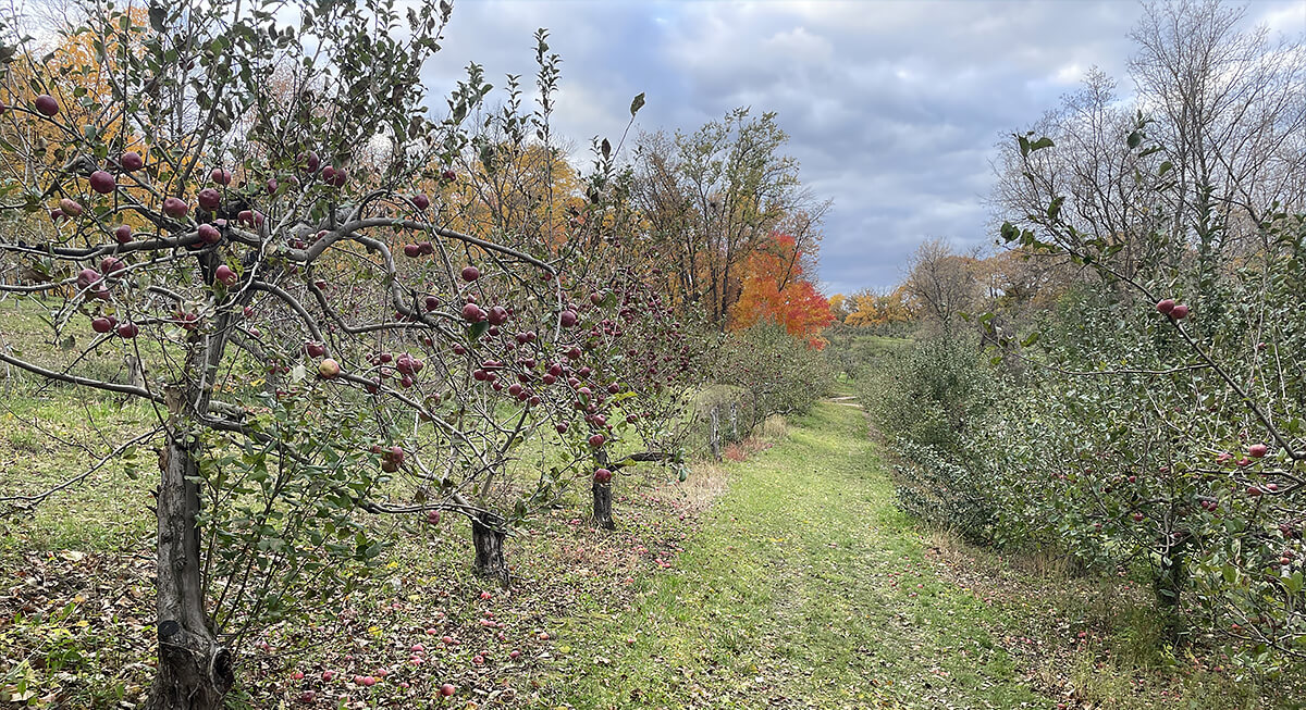
A few miles from Torrey is Fruita, one of the strangest historic settlements in the Southwest. Mormon pioneers planted orchards there during the late 19th century despite the surrounding desert terrain appearing completely hostile to farming. Irrigation systems diverted water from the Fremont River, allowing apple, pear, peach, and cherry orchards to survive under towering red cliffs. Some orchards still produce fruit inside Capitol Reef National Park today.
The Town Sits Along an Old Desert Crossroads
Credit: Instagram
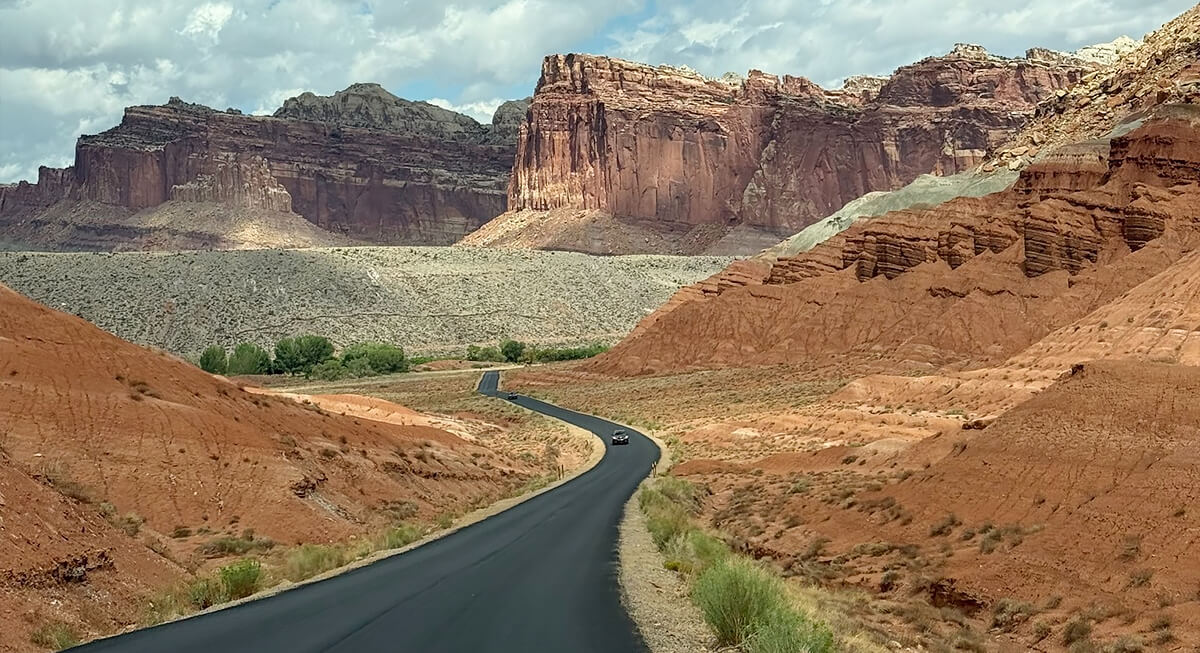
Modern highways now connect the town to Capitol Reef, Boulder Mountain, and Utah’s canyon country. But the same corridor once carried settlers, ranchers, traders, explorers, and outlaws moving through remote parts of the state. The surrounding terrain created natural bottlenecks that shaped travel routes across southern Utah for decades. Even today, driving toward Torrey is still more isolated than many Western tourist destinations.
The Canyon Literally Helped Build the Town
Credit: Wikimedia Commons
Many of Torrey’s historic structures came directly from the landscape surrounding them. Builders quarried red sandstone nearby and hauled the heavy blocks into town using mule teams before shaping them into schools, homes, and community buildings. The process demanded exhausting labor in an isolated environment where construction materials could not simply arrive by truck or rail. As a result, the canyon itself became part of the architecture.
Torrey Remained Tiny While the National Park Exploded in Popularity
Credit: Wikimedia Commons
Capitol Reef National Park now attracts more than a million visitors annually, though Torrey remains remarkably small. The town’s population hovers around a few hundred residents. It never expanded into a giant commercial tourism hub packed with chain hotels and crowded entertainment districts. The small scale still shapes daily life there. Historic storefronts, old motels, bakeries, trading posts, and dark skies continue dominating the experience.