
Three map tells I use to spot where an ancient route, not a river, is still calling the shots on today's borders.
The border that hugs a ridge like a handrail
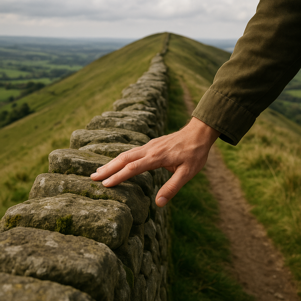
When I see a border cling to the crest of a long ridge, my first instinct used to be, OK, that is the obvious watershed line. Then I started noticing the times it is not. The giveaway on a modern basemap is when the boundary stays faithful to the high ground even where a lower pass would make an easier dividing line. In the field, those are the spots where you can still feel the old route logic: the ridge was the safest, driest, most legible corridor for people moving goods with pack animals and carts, and later it became the easiest line for officials to argue over because everybody already agreed where it was.
To test that idea without getting lost in history books, I do a quick three-zoom check. Zoom way out until the whole ridge is visible as one long spine. Then look for the oldest-looking road alignment that runs parallel to it on either side: the one that stays stubbornly straight, hits saddles instead of plunging into gullies, and connects to market towns like beads on a string. On OpenStreetMap, I toggle the transport layer mentally by hunting for names like Old Road, High Street, Causeway, or any cluster of place names that scream stopping points (Inn, Cross, Ford, Toll). Then I zoom back in and look where the border makes tiny, fussy adjustments to keep touching those passes or saddles. That little wiggle is often the ghost of a negotiated choke point: who controlled the easiest way across, who collected fees, who got first dibs on the traffic.
If you want a boots-on-the-ground confirmation, pick one saddle where the line looks weirdly protective and walk it. You will often find the human infrastructure still there even if the big story is long gone: an old stone wall that follows the contour with more care than any sheep fence needs, a track that stays dry after rain, or a cluster of buildings that are too conveniently placed for a random farm. It is a border you can read with your legs, not just your eyes.
When a straight border is hiding a very old argument
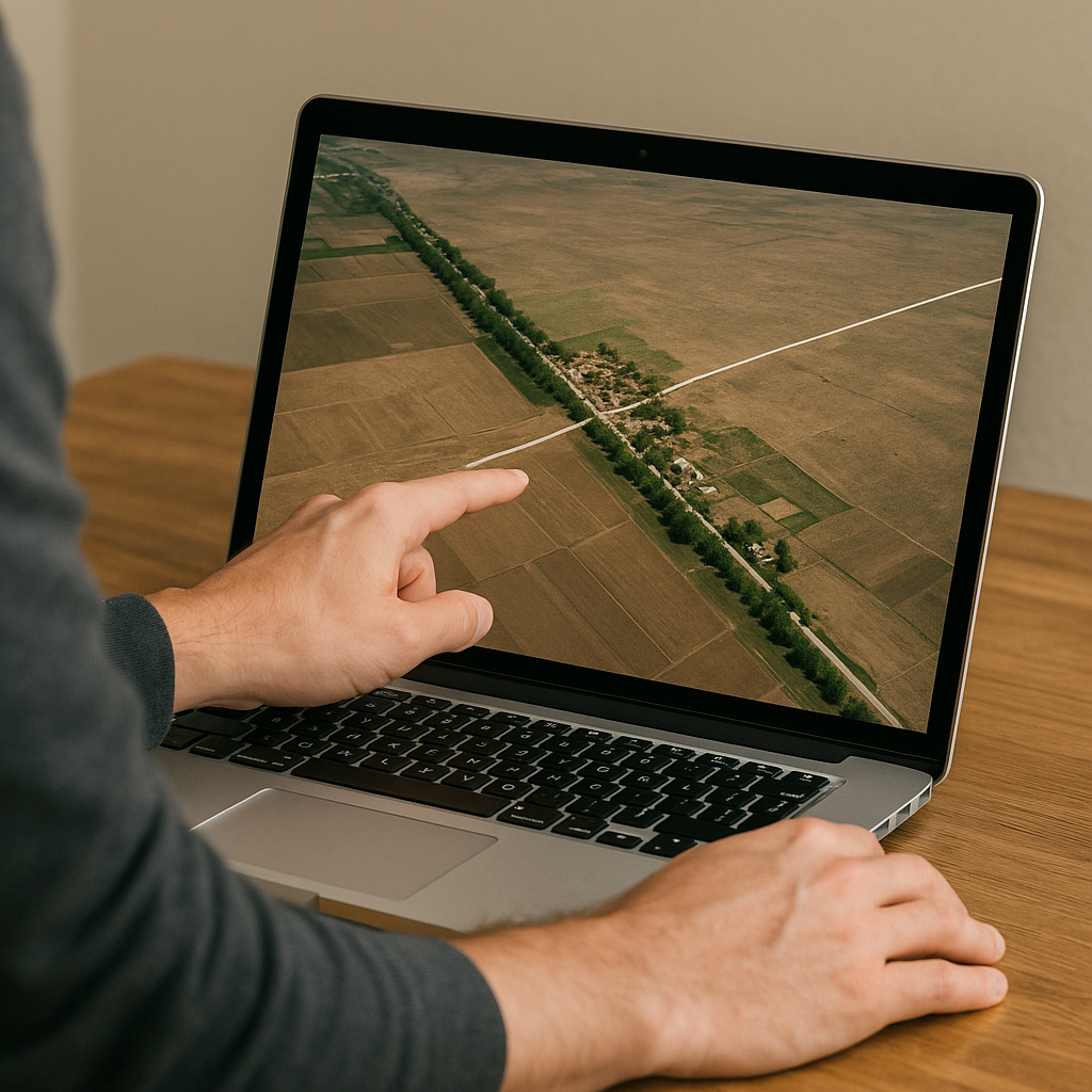
A dead-straight border across a plain looks like someone drew it in an office, and sometimes they did. But even those can be route-driven in a sneaky way. I learned this staring at Google Earth with the historical imagery slider and realizing the line was not random at all: it was placed to slice through a corridor of movement without handing the whole thing to either side. The trick is that the corridor is not always a road you can see today. It can be a chain of wells, a string of market sites, or the one stretch of firm ground that stays passable when everything else turns to soup.
Here is what I look for on the screen. First, I trace the straight segment and then scan for parallel features that run beside it for miles: a line of trees in a treeless area (often following an older track or ditch), a series of tiny settlements that are spaced like day-stops, or a modern highway that keeps a respectful distance as if it inherited the same right-of-way politics. Then I flip to satellite and hunt for texture changes: a paler strip of soil, repeated faint lines, or tire scars that show up best after rain. In arid areas, the corridor can pop as a slightly darker band where vehicles and animals have always converged. I have also had luck cross-checking with Street View at random points: if you land on a nothing road and there is inexplicably a freight yard, a big bus stop, or a cluster of repair shops, you are probably standing on a much older habit of movement than the pavement suggests.
What makes this border shape feel connected to ancient trade is the way it behaves around nodes. The line can be laser-straight for ages, then it suddenly kinks or steps around one town or one crossing like it is avoiding a hot stove. That is usually the tell that the place mattered. Even if the customs post is gone, the geometry is still negotiating access: who gets the junction, who gets the approach road, who can tax the flow. A straight line is not always simple. Sometimes it is just a neat wrapper around an old, messy corridor that never stopped being valuable.
City streets that keep pointing at a border gate that no longer matters
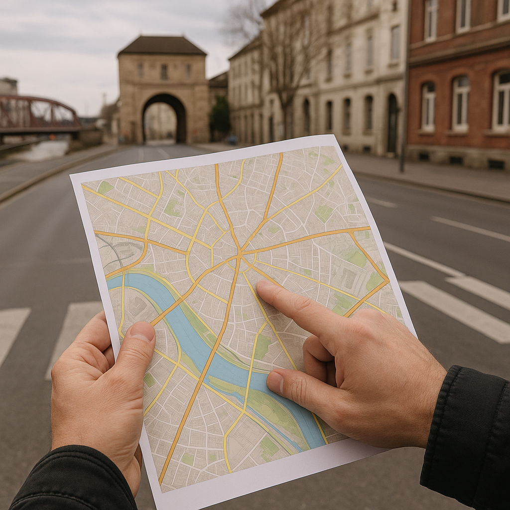
My favorite kind of proof is urban, because it is so unromantic. You do not need a museum day. You just need to notice how a city still funnels you toward a particular edge, even when the official border crossing has shifted or the politics have softened. On a map, this shows up as a stubborn set of approach roads that converge on one old gate location, plus a weird amount of infrastructure nearby: a freight spur, an outsized bridge, a customs-looking building repurposed as something else, a neighborhood name that keeps the memory alive. You will also see it in how the ring road behaves. Modern planners love bypasses, but in some cities the bypass pinches and tightens near the same historic exit, like the place still exerts gravity.
When I am trip-planning, I pull up a clean political boundary layer (Natural Earth is fine for this) and then lay my eyes over the street network like I am looking for fingerprints. Does the old city grid point like arrows toward one edge? Do the major boulevards end at the riverbank right where the boundary is closest? That is often a former toll point, ferry landing, or market gate, and those were rarely placed for aesthetics. They were placed where the trade route could be controlled. Even if the old wall is gone, the streets keep the habit. I have walked neighborhoods where the blocks get suddenly skinnier and more irregular as you approach the former gate, because that is where workshops, stables, and traders packed in tight. You can still buy hardware there. You can still find the cheap lunch counters where drivers eat. The land use has inertia.
A practical traveler payoff: these old approach corridors are also where borders still create friction in small ways. Not dramatic stuff, just the everyday wrinkles. Bus lines that terminate early, bike routes that detour for no obvious reason, a long pedestrian underpass that exists solely to steer people to one controlled crossing. If you are trying to understand why a city feels lopsided, or why one neighborhood is always jammed at 5 p.m., trace the streets that keep aiming at yesterday's gate. The line on the map may have been redrawn, but the city is still built around the same old promise: goods, people, and money are going to pass through here.