
River towns usually don't look the same on a modern map as they did when farming communities first developed along the water. Channels have since shifted, ferries have given way to bridges, levees have altered flood patterns, and old roads still point toward river landings that no longer exist. Comparing historical maps with modern imagery can reveal those changes and show how rivers once connected farms, markets, rail lines, and neighboring towns.
Compare Old and Modern Maps to Find Former River Channels
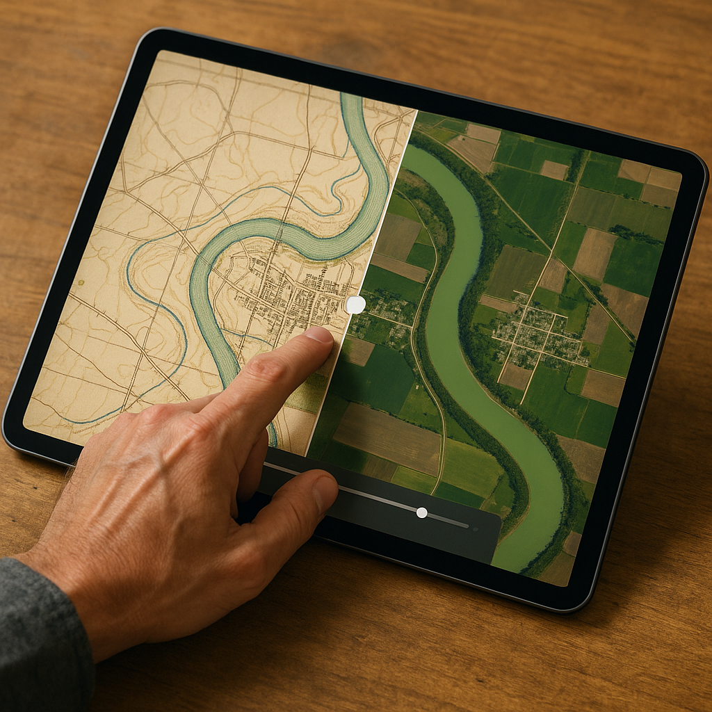
If you want to see how rivers once connected farming communities, start with a small town near a wide stretch of floodplain and pull up a historical topographic map. Maps from the early 1900s can be especially useful because they may show rail sidings, ferries, roads, and other local features.
Compare the historical map with a modern one and look for changes in the river channel, side sloughs, and roads that once followed the riverbank. I’ve seen an ordinary-looking field turn out to be an old bend in the river, with an oxbow scar and a former landing road nearby.
Also, trace the town’s edge: why do property lines kink, why does a county road jog for no reason, why does a church sit on a slight rise with a weirdly generous yard? On older sheets, you’ll often see the reason spelled out in plain cartographer language: “ferry,” “landing,” “levee,” “old channel.” The town’s working connections were calibrated to the river’s older position, and the cartography you’re switching between is basically a time-lapse of that relationship.
Look for Old Ferry Roads and River Crossings
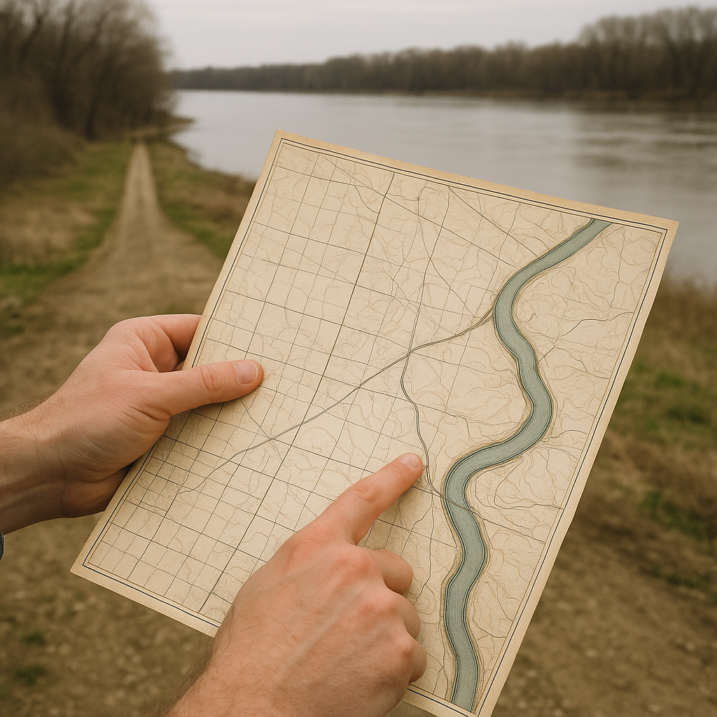
When people talk about river crossings, they jump straight to bridges because bridges are obvious and photogenic. But the older connective tissue between farming communities is often a ferry, and the map evidence for it is geometry. A ferry approach may follow a relatively direct line toward a particular point on the bank, especially where the crossing once provided an important connection. If you’ve ever driven one of those roads and thought, “Why is this dead-straight line here when everything else curves with the section lines?” that’s your clue.
My favorite way to confirm it is to pair two sources designed for different jobs. First, grab a fire insurance sheet for the town (Sanborn is the classic). Those maps were created to provide detailed information about buildings and developed areas, so they can sometimes help you identify warehouses, commercial buildings, streets, and other features near a riverfront. Then compare it with a topo from roughly the same era, which can provide more context on the surrounding river, roads, and terrain.
Once you see it, it’s hard to unsee. The alignment explains why two towns that seem mis-positioned across from each other still behaved like neighbors. On modern aerials, the landing itself can be nothing more than a slightly lighter patch of bank or an oddly durable turnout where people still pull off to fish.
Use Levees and Old Meanders to Trace River Changes
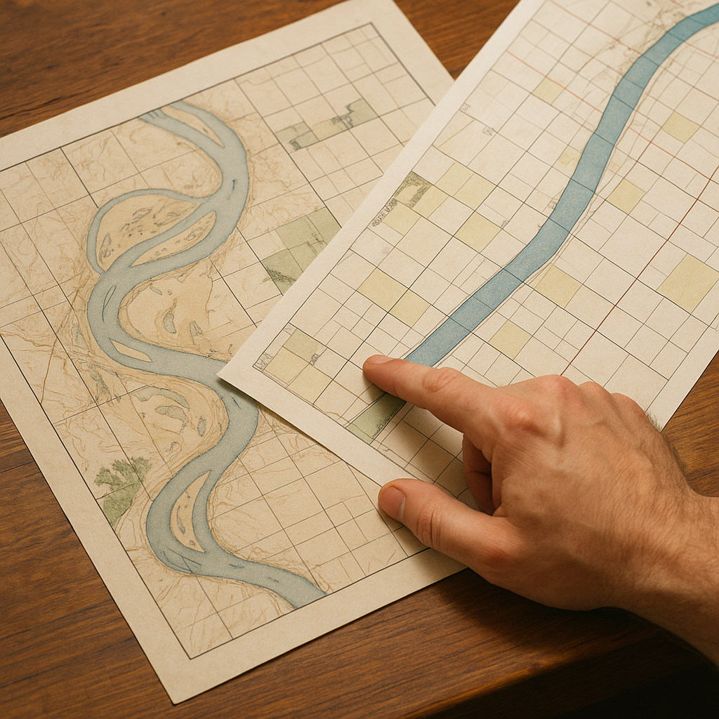
An old sheet often shows a river as a lazy S-curve with sandbars and little braided side runs. A newer one may show a straighter channel and more regular-looking farmland. That can reflect changes in the river itself, flood-control infrastructure, or differences in how the maps were produced.
If you want to understand how those scenic river passages became dependable connectors between farming communities, read the fine print. On many topographic maps, levees are drawn with a particular symbol and sometimes named. Once you spot a levee, look immediately behind it. What’s on the protected side? You’ll often find the productive stuff that needs consistency: bottomland fields, a road that finally stops detouring, a cluster of buildings that only makes sense if flooding became less frequent. Then look at the unprotected side and watch how the river keeps doing river things, carving, depositing, and leaving behind oxbow lakes and wet patches that show up as darker vegetation on modern imagery.
I’ve also learned to treat “old channel” and “abandoned meander” labels as social history, not just hydrology. Those features can mark the earlier shoreline where a farm community once had direct water access, and when the main channel shifted, the community adapted. Roads got raised, landings moved, and sometimes a whole grid of fields got reoriented around a new line of protection.
You can see the evolution in how the maps themselves change: early sheets are comfortable naming local features (a landing, a mill, a bend with a name), while later mapping became more standardized as surveying and aerial photography took over. It’s the same river corridor, but the cartographic technique is telling you what the era cared to measure. When I’m trying to connect towns along a passage, that shift matters, because it explains why the modern view can feel oddly disconnected even when the communities were once tightly linked by a working shoreline.