
On a remote forest trail, a culturally significant place may not look like much at first; it could be a rock shelter, an old trail, a grove, or a site marked only by a small sign. But these places can carry cultural meaning that isn't obvious to a first-time visitor. When I come across one, I use three simple habits: slow down, keep my camera from becoming the focus, and check the access rules before I go further.
Slow Down and Respect the Site
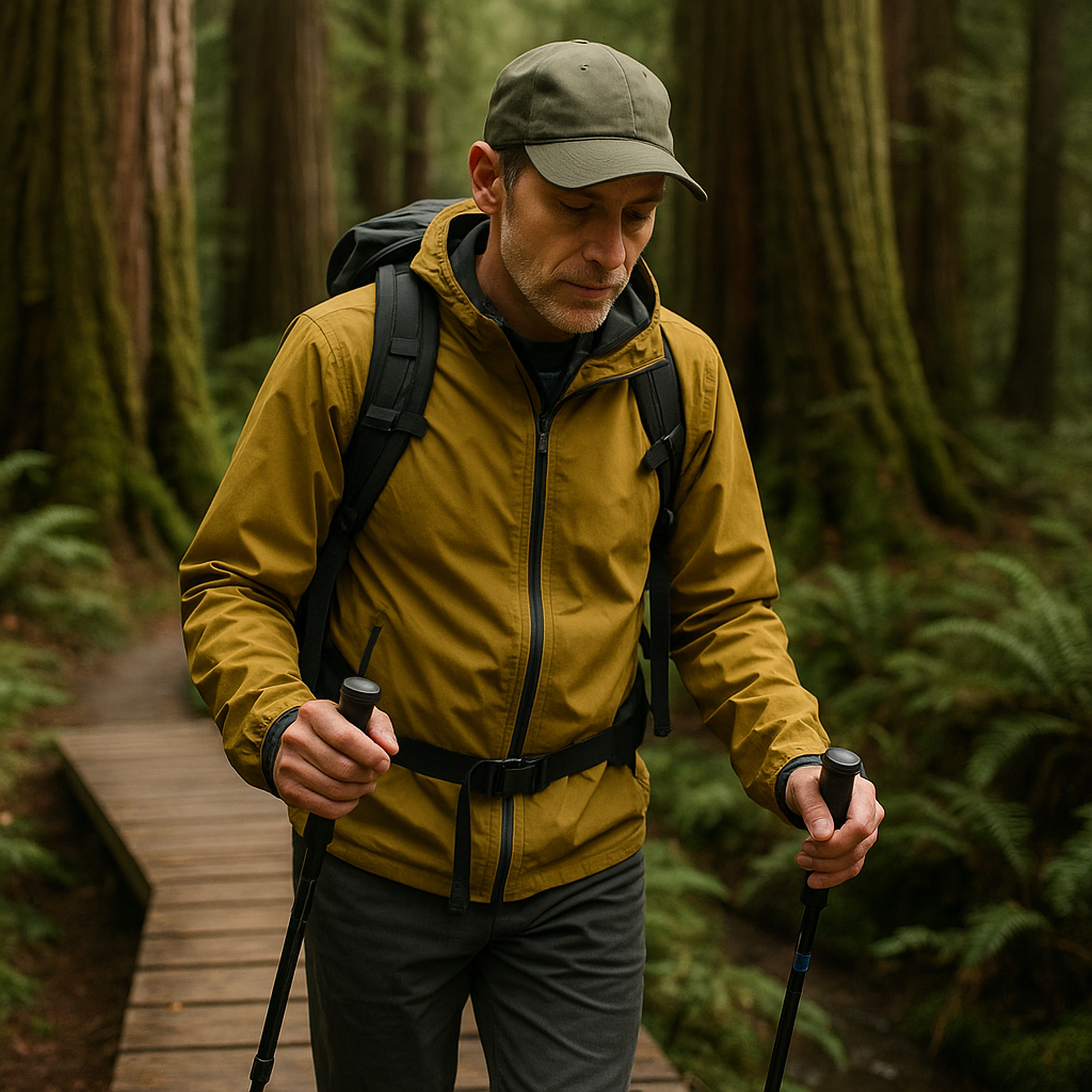
When I know I'm approaching a culturally important site, I try to change my pace before I reach it. Then I watch for signs that access is restricted. Land managers may use barriers, signs, or other markers to keep visitors away from sensitive areas. When I see a rope line, closure marker, or other clear indication that a side track is restricted, I treat it as a boundary even if my map shows a faint spur. I don't step over it to grab a better angle. The cultural meaning of these places often isn't something that translates into a paragraph on a kiosk.
If you want something actionable, pick a point well before the area that feels different and make it the last place you adjust anything. After that, keep your hands off the pack, phones stay in pockets, and keep the group moving in a single file if the trail is narrow. The aim is to prevent a meaningful site from becoming a place where five people stop, shuffle around, and accidentally widen the trail edge because they're bored.
Take Photos Without Disturbing the Site
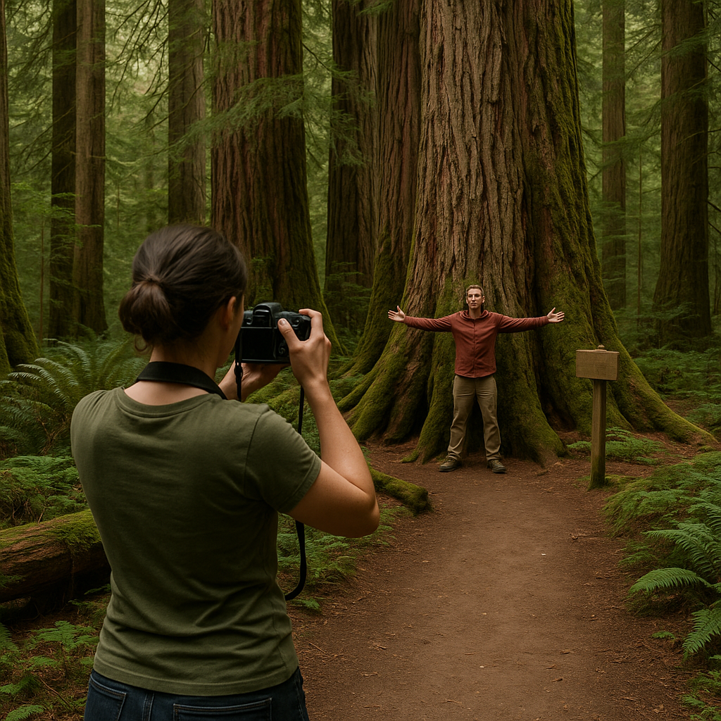
There's a particular kind of photo that makes my stomach drop: someone standing inside a site as if it's a stage set, feet planted where people have been asked not to stand, arms wide like they're claiming it. I don't think most folks mean it that way. They just don't think about how a picture seems when it gets posted with a location tag and a bunch of fire emojis. So I set my own rule on trail: I photograph context.
Context photos look like this: the approach corridor (the way the trail bends into a cedar grove), the light on the understory, a close shot of moss on a nurse log, the way the creek braids around gravel bars. If there's signage, I take a wide shot showing the sign in its environment, and I don't post the exact coordinates afterward. If I'm carrying a camera, I choose a lens that lets me compose without stepping off the trail. The important part is staying on the designated tread. Wide angle is where you get tempted to step backward off the tread to fit everything in, and the edge of the trail is exactly where impact piles up first. With a tighter lens, you stay planted and compose with what the place offers.
Phones make this harder because the default camera view feels like it can see everything, which nudges you to treat the landscape as if it's yours to frame. If I'm using my phone, I turn off Live Photos and sound (that little shutter chirp echoes more than you'd expect in a still stand of trees). I also check my geotagging settings. If I'm anywhere near a sensitive heritage site, I don't want that metadata sharing my location.
One more thing I do that feels small but matters: I don't do the point-and-lecture thing unless I know what I'm talking about. If someone asks, "What is this place?" and all I've got is half-remembered trivia from a blog post, I say that. Then I suggest we read the official interpretive material later, or better yet, look for programming run in partnership with the local tribe.
Check Access Rules Before You Go
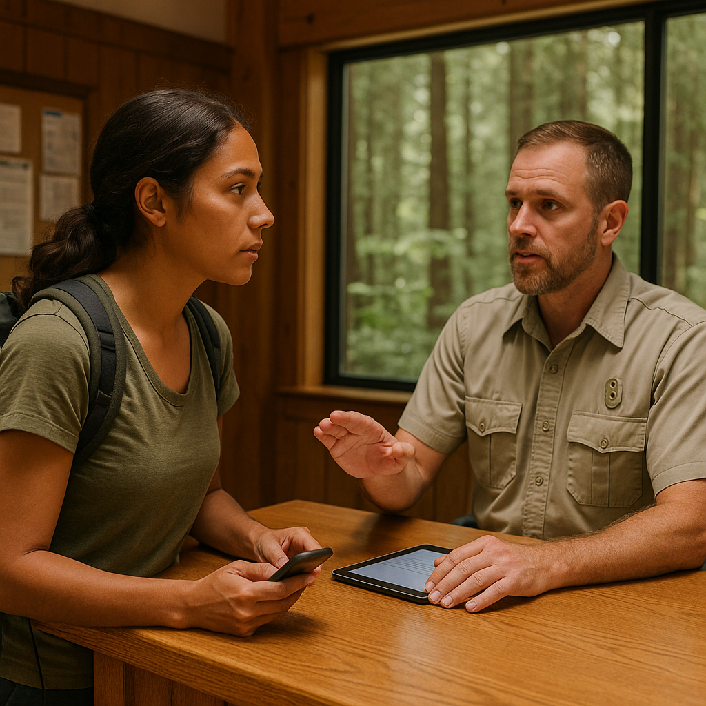
People love to say, "We got permission," and what they mean is that a ranger at the front desk said the trail is open. That's not the same thing, and it's where a lot of well-meaning trips drift into disrespect. When I'm planning a remote forest hike that intersects with Indigenous heritage, I treat permission like a stack of doors. The first door is land management (Forest Service, state park, whatever). The second is any tribal guidance or site-specific cultural restrictions that the land manager makes available to visitors. The third is whatever site-specific restrictions or conditions apply that day, from closures and fire danger to cultural restrictions communicated by the land manager or local community.
The practical version looks like this: before I even commit, I check official pages for mentions of tribal co-management, cultural restrictions, or seasonal access limits. If a permit is required, I read the terms line by line instead of skimming for the date and fee. If the official site lists a contact for visitor information or cultural resources and I'm unsure about access, I ask the specific question rather than assuming the site is open to me. I keep it tight: where I'm hoping to hike, when, how many people, and what I'm trying to do (for me, it's usually a quiet, low-impact visit and a better understanding of what I'm walking through). Then I wait. If nobody replies, I treat it as a sign to either choose a different route or stick to areas clearly marked for visitors.
On the trail, I also plan for the awkward moment when you're already out there and realize the site ahead isn't something you should approach. That's why I like building a loop or an out-and-back with a clear turnaround option that isn't emotionally framed as failure. If my map shows a spur leading to a labeled feature, I don't assume it exists for me.