15 U.S. Neighborhoods Where You Don’t Need a Car
Walk Score’s latest rankings, combined with transportation data from U.S. city planning departments and the Census Bureau, make one thing clear: owning a car is optional in several American neighborhoods. Here is a list of U.S neighborhoods with expanded transit networks, dense housing, and improved pedestrian access. These areas demonstrate that daily life is manageable without relying on a car.
Union Square, New York City

Credit: Wikimedia Commons
Union Square has direct access to eight subway lines, and over 80% of Manhattan households don’t own a car. With 24/7 trains, daily errands are a short walk away. Restaurants, pharmacies, gyms, and grocery stores are all clustered within a half-mile radius.
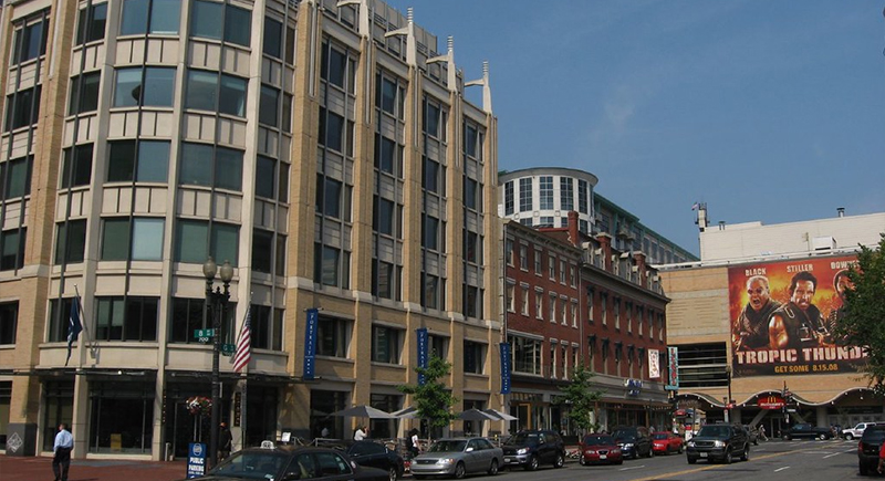
Chinatown–Leather District, Boston
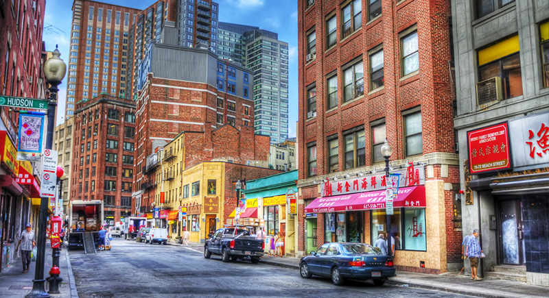
Credit: flickr
This compact neighborhood, sandwiched between South Station and Downtown Crossing, is a walker’s dream. The MBTA’s Red, Orange, and Silver Lines cover it, and Boston’s pedestrian fatality rate remains among the lowest for large U.S. cities. Sidewalks cover nearly every block, and the city’s 2030 transit plan is already in motion.
Historic Downtown, Jersey City
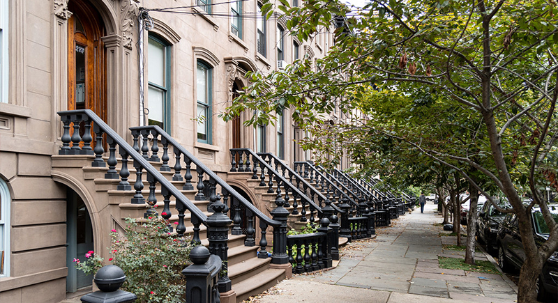
Credit: flickr
PATH trains from Grove Street get into Manhattan in under 12 minutes. More than 50% of downtown residents don’t own a car. Raised intersections and short signal cycles help people cross safely. With reliable NJ Transit buses and storefronts packed into walkable blocks, cars often feel more of a hassle than a help.
Center City West, Philadelphia
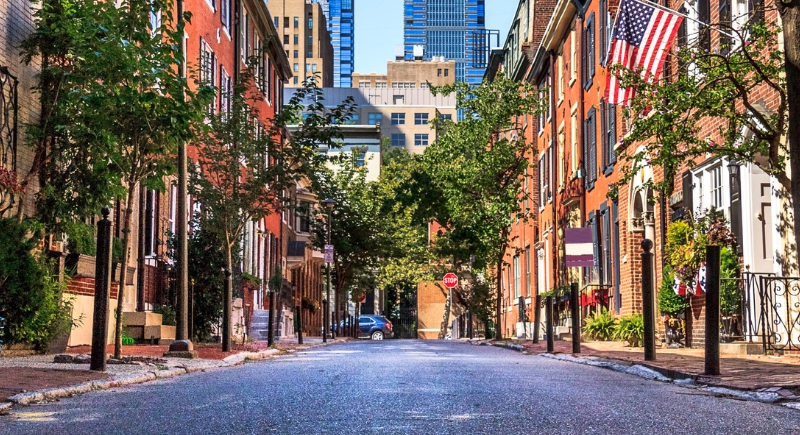
Credit: Getty Images
Suburban Station links to regional rail, and SEPTA trolleys and buses crisscross the area. Most blocks feature a café, office, or market. Streets are designed for people, with curb bump-outs, shorter crossings, and traffic-calming zones. Getting around on foot is easy, and driving honestly just slows things down.
Near North Side, Chicago
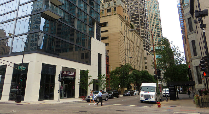
Credit: flickr
This neighborhood has seven CTA stations, over 50 bus stops, and plenty of Divvy bike docks. Chicago’s 200-plus miles of bike lanes include protected stretches through and around this area. With parks, clinics, and stores nearby, residents have little reason to hop in a car to get things done.
Downtown–Penn Quarter–Chinatown, Washington, D.C.
Credit: flickr
Smack in the middle of the Metro system, this neighborhood is served by Gallery Place, Metro Center, and Judiciary Square stations. The Metro spans 97 miles, and all downtown platforms are ADA-accessible.
Newark Central Business District
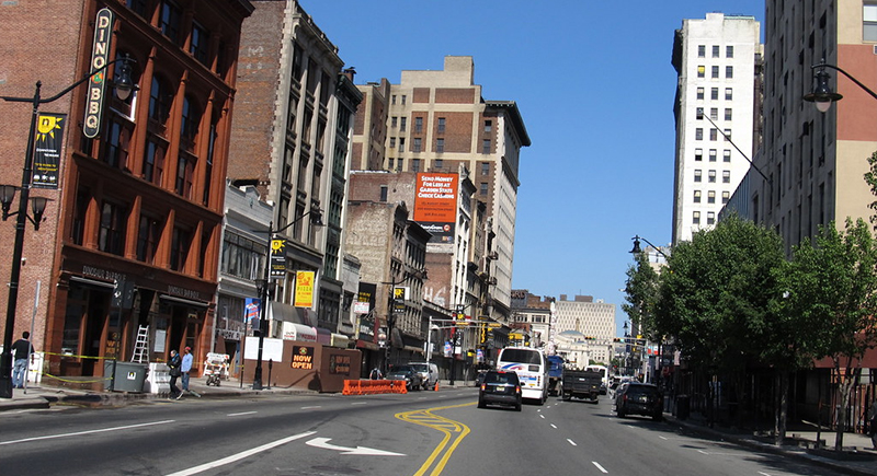
Credit: flickr
Penn Station sits at the center and links PATH, Amtrak, and NJ Transit rail with local buses that run through every part of downtown. You’ll find grocery stores, offices, and restaurants within a few blocks, and the airport is just a short ride away. For most errands, walking or hopping on a bus is quicker than driving.
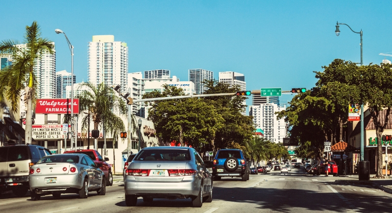
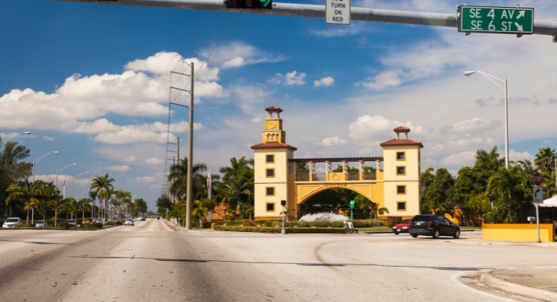
Downtown, Miami

Credit: Gagliardi Photography
Three free Metromover loops cover downtown with 21 stations. No fare, no stress. Ground-level retail and apartments keep essentials within easy reach. Recent redesigns added wider sidewalks and pedestrian zones near Bayfront Park and the Arsht Center. You’ll find people walking to work, lunch, and even yoga class.
West Loop, Chicago
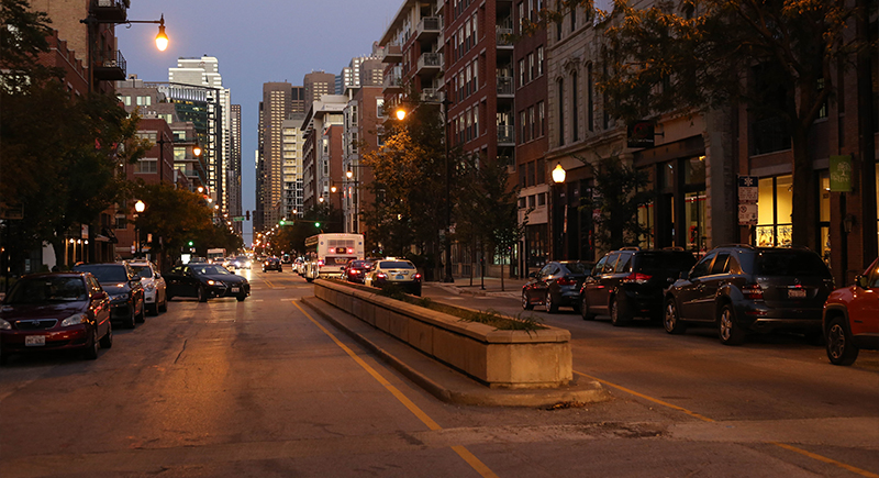
Credit: Wikimedia Commons
The West Loop is bracketed by the Green, Pink, and Blue CTA lines. Divvy bike stations are frequent, and protected lanes run along major roads, such as Washington. Many residents walk to work, shop at Fulton Market, or commute downtown without ever needing a vehicle—it’s all reachable within minutes.
Temescal, Oakland
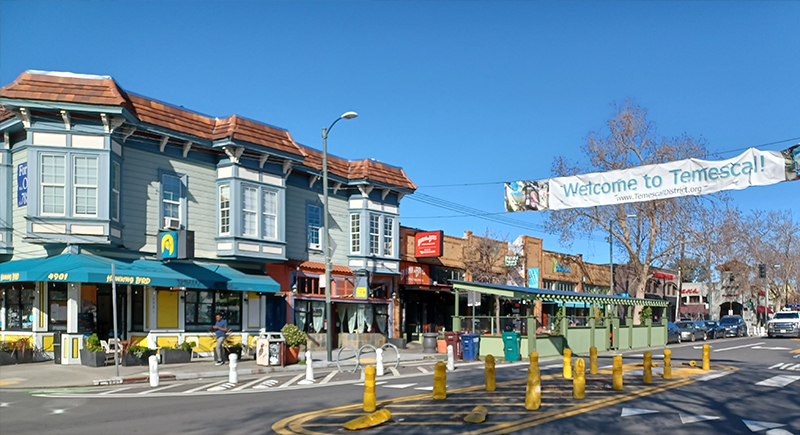
Credit: Wikimedia Commons
Telegraph Avenue runs straight through Temescal, lined with bike lanes and AC Transit stops. MacArthur BART, one of the system’s busiest stations, sits just north of the neighborhood. You’ll find grocery stores, restaurants, markets, and barbershops all close together, and most locals walk or bike for daily errands.
Little Havana, Miami
Credit: Getty Images
Little Havana’s grid layout and small block spacing make walking easy. Metrobus routes run heavily along SW 8th Street, and both Brickell and Culmer Metrorail stations are nearby via short bus rides. Shade trees, wide sidewalks, and a concentration of schools, markets, and parks provide locals with plenty to do without needing to drive.
St. Mary Medical Center Area, Long Beach
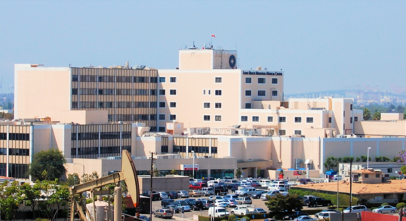
Credit: Wikimedia Commons
Near the hospital, Long Beach Transit routes intersect densely with service to downtown, Eastside, and the Pacific Coast. Essential services, from schools to clinics, are all packed into a few blocks. Sidewalks are well-kept, and a large portion of residents here walk or take transit for everyday activities.
Hialeah (Palmetto I-75 area)
Credit: Getty Images
While most of Hialeah isn’t known for walkability, this area near the Palmetto and Hialeah Market Station holds its own. Tri-Rail connects to Miami and West Palm, and Metrobus routes cover local stops. Zoning encourages mixed-use development, and most residential streets keep speed limits under 30 mph.
Mount Vernon, Baltimore
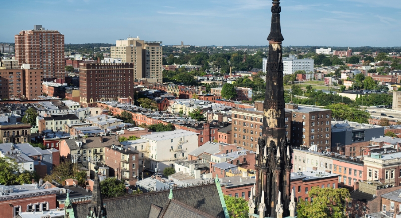
Credit: Getty Images
Walk through Mount Vernon and you’ll pass historic rowhouses, the Walters Art Museum, and the Peabody Library, all without needing a car. The Charm City Circulator loops through the neighborhood for free, and Light RailLink and MARC stations are nearby. Most trips can be done by walking or catching a ride.
Lyn Lake, Minneapolis

Credit: Wikimedia Commons
Minneapolis might get snowy, but sidewalks in Lyn Lake stay plowed and walkable. The Midtown Greenway—5.5 miles of protected bike trail—runs through the area. Bus lines on Lake Street hit frequently, and with over 200 miles of bike lanes citywide, plenty of locals bike or walk year-round.