
Three old-school map-reading tricks I use to pick ports, passes, and pacing from the paper itself.
Portolan compass roses: plotting your days along the coast
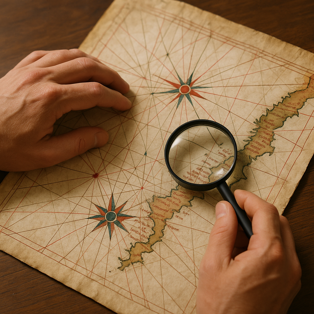
The first time I held a portolan reproduction (the kind with the spiderweb of rhumb lines), I made the rookie mistake of treating it like decoration. Then I noticed how the coastline labeling bunches up around certain harbors while long stretches stay weirdly blank. That pattern is usable. Portolan makers focused heavily on coastlines and ports, and the network of rhumb lines gave sailors bearings they could use to plot a heading.
Here’s how I turn that into a modern trade-route loop without pretending I’m reenacting a galley voyage. I pick one compass rose as my anchor, then trace one of its rhumb lines toward a cluster of named ports. That cluster becomes my “string of pearls” for a section of the trip. The chart shows that these coastal places were important enough to label, though the rhumb lines themselves do not prove that the ports formed a regular trade route. You can do this on a desk with a magnifier, or with a high-res scan zoomed in so far you can see the pen strokes.
Then I cross-check the same coastline on a modern map or Google Earth. I look at how the historic port sits within the present-day coastline, then check transportation, access, and practical stopping points before deciding whether it belongs in the itinerary.
Practical payoff: this method builds a route that feels coastal and sequential, not like you’re teleporting between “top sights.” It also keeps you honest about time. The empty stretches remind me not to invent significance that the chart cannot provide, so I check modern maps, transportation options, and services before deciding how much time that section deserves.
Reading the blank spaces: where old maps go quiet on purpose
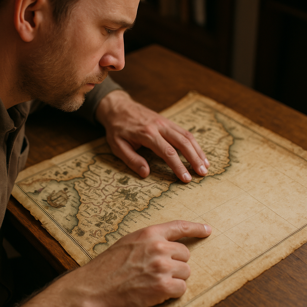
When I’m planning around a historic trade route, the “blank” parts of an old map are where I slow down and stop romanticizing. On older maps, emptiness isn’t always ignorance. It can reflect the map’s purpose, the information available to its maker, or the needs of the people expected to use it.
I’ll do a quick three-pass read before I ever start pinning hotels. Pass one: labels. Are the place names dense along a river corridor or a coast, then suddenly sparse after a certain bend? That change in labeling tells me the mapmaker’s emphasis has shifted, but I use historical sources and modern maps to work out what actually caused it. Pass two: iconography. Mountains, forests, fortifications, animals, and other symbols can reveal what a particular mapmaker chose to emphasize, but their meaning depends on the map’s date, purpose, legend, and cartographic tradition. Pass three: orientation and scale weirdness. If a coastline is crisp but the inland geography feels compressed or distorted, I take that as a reason to check what the map was designed to show before drawing conclusions from it.
Here’s the modern planning move I’ve started making because of that: I treat blank zones as places to pick one anchor stop on either side, and I budget the crossing day as its own experience, not as filler. That might mean booking a rail segment that follows the old river valley instead of trying to take a tempting mountain shortcut on a phone. It might mean choosing a border town that still has a market day, then aiming for a second town where the road opens back up.
And I don’t try to “complete” the blank by hunting for hidden gems. If a map goes quiet across a long stretch, I treat that absence as a reason to check modern road conditions, transportation links, towns, and services rather than guessing from the historical map. That sounds unromantic until you’re the person scanning for a late lunch on a road that isn’t built for spontaneity. The blank space gives me a reason to verify the modern reality rather than fill the gap with assumptions.
Marginal notes and inset maps: finding the details worth a closer look
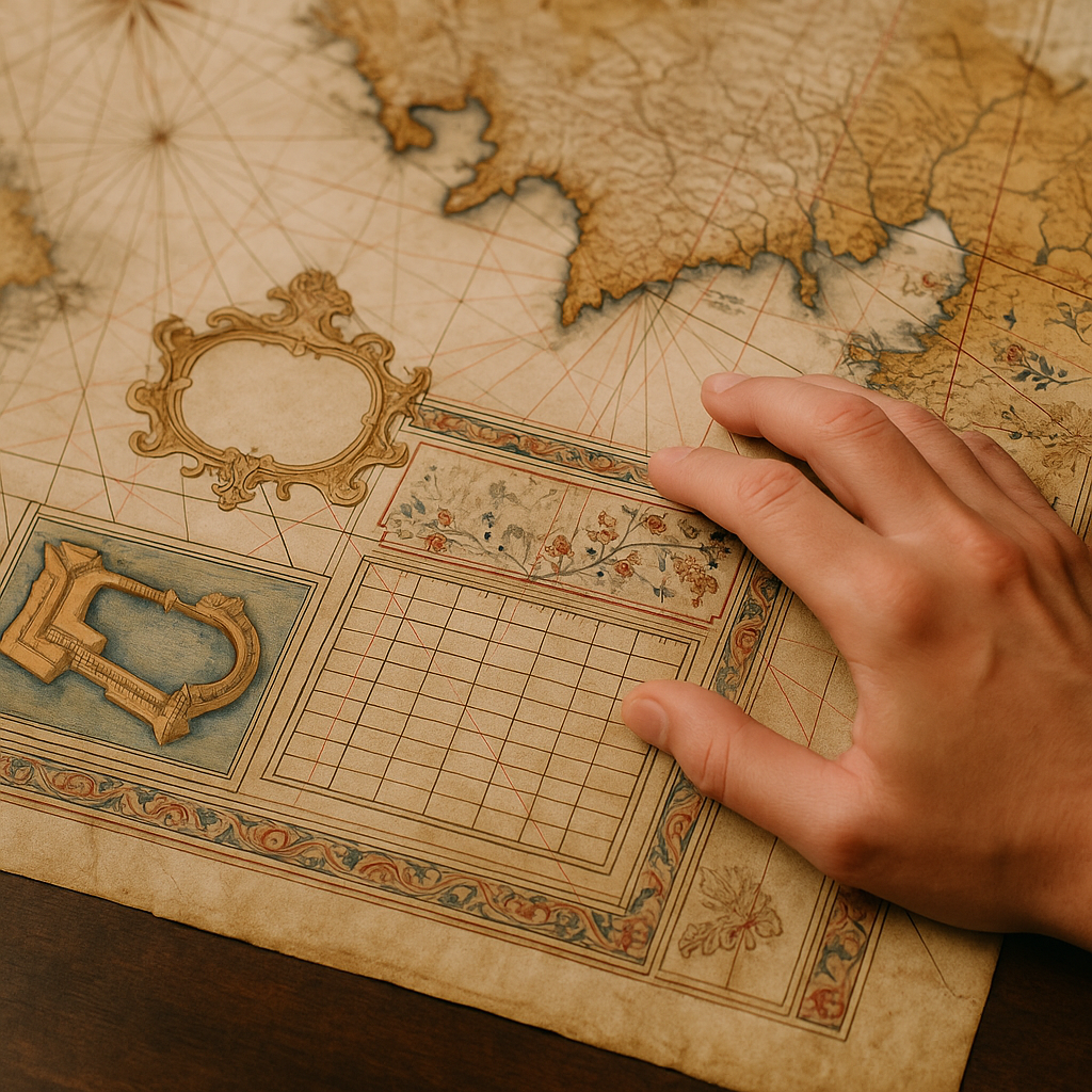
If you’ve ever zoomed in on a digitized antique map and felt your brain melt, go straight to the margins. Seriously. The cartouche, an inset harbor plan, a distance table, or notes in the margins can all provide extra context about what the cartographer chose to include.
When I’m using vintage cartography to build a trade-route itinerary, I check marginal notes, insets, distance tables, and other added details for clues about what the mapmaker considered worth emphasizing. A detailed port inset tells me that the cartographer considered the harbor worth showing at a larger scale, which makes it a useful place to investigate further. Even if you’re traveling by train or rental car, the inset can point me toward the historic commercial core, which I then compare with current transit, lodging, and walkability information before choosing a base.
My workflow looks like this: I take a screenshot of the inset and keep it next to a modern basemap. Then I do a slow match. Does the old wall line correspond to a ring road? Does the “customs” label land near today’s ferry terminal? Are the old gates now major intersections? Once I’ve got two or three anchor matches, I’ll check that historic footprint against current lodging, transit, and walkability before deciding whether it makes sense as a base.
The margins can also reveal useful connections. If there’s a distance table, I don’t assume its figures translate neatly into modern mileage. Instead, I investigate why particular towns were linked and whether that historic connection still makes sense for the itinerary. The map can’t promise a great stop, but it can give me a historically grounded place to start looking.