
Bring a pencil and keep an eye on the mileposts and station stops as you travel. The gaps between stops, the names on the map, and the activity around smaller stations can reveal clues about the communities along the route and the local traditions that may not appear in a typical travel guide.
Use Mileposts and Station Locations to Spot Local Activity
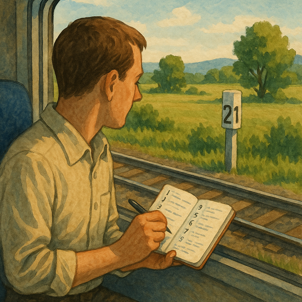
On a scenic train journey, it is easy to focus on the views and wait for the conductor to point out places of interest. But paying attention to mileposts, station stops, and the landscape around the tracks can reveal useful clues about the communities along the route.
Simply grab the operator's route map if it's posted in the carriage, or pull up a rail layer on your phone before you lose signal in the cuts. Then do a quick, low-tech log as you roll: every time you pass a milepost, jot the number and whatever human clue is nearest (a footbridge packed with bicycles or a hand-painted sign). You don't need everyone. Five to eight notes over an hour is plenty.
The pattern you are hunting is spacing. Where mileposts tick by with nothing between them, the line is just moving through land. Where the numbers keep coming, but the scenery suddenly adds repeated manmade stuff in a tight cluster, you may be approaching a busier part of the local community. Plus, when that cluster sits near a minor stop, it can be a useful clue that the surrounding community has places or events worth investigating.
There's another useful detail to look for on a railway map: the spacing between stations. A simplified map may make stations appear evenly spaced, but a more detailed map can show a long stretch of track with just one small station along it. That station may serve a nearby village, community facility, or local attraction. Checking the area around the station can show what is within walking distance and whether there are places or events worth visiting.
Read Station Names for Clues About Local History
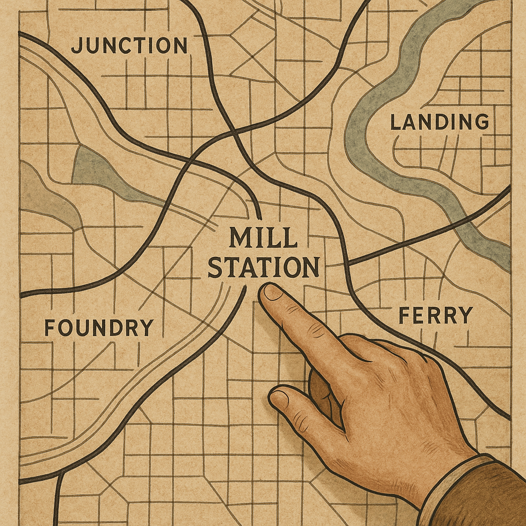
Station names can also provide clues about the history of a place. Older railway maps may preserve names that refer to former industries, waterways, crossings, or nearby communities. Comparing these names with a current map can help you understand how the area developed around the railway.
Start with the words that appear. "Junction" and "Wye" are pretty clear: the railway shaped the town, not the other way around. Landing and Ferry point to river logistics that usually predate the tracks, which is why those towns still do boat parades or blessing-of-the-fleet weekends. If you see words such as "Mill," "Works," or "Foundry" on a map, they may point to the area's industrial history. Check the surrounding area to see whether former industrial sites, railway spurs, museums, or other historic features are still visible.
When a current station name differs from an older map label, the older name can provide a clue to the area's history. Checking the surrounding streets and community buildings may reveal connections to local churches, industries, waterways, or civic traditions.
You don't need specialist knowledge of place names to use this approach. When you see a stop name that sounds like an industry, a water crossing, or a rail geometry term, check the map around it for three features: (1) an old right-of-way that doesn't match today's main line, (2) a cluster of civic buildings (VFW, firehouse, school), and (3) an open rectangle that looks like fairgrounds or ballfields. When several of these features appear together, they can point you toward the places and community events that give a town its local character.
Draw a Simple Route Map to Track What You See
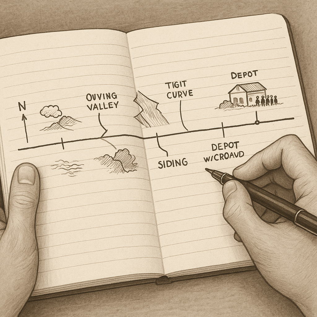
This is the most old-fashioned cartography move I still do on trains. I sketch a strip map: a long, dumb rectangle that represents the line, with only the features that matter to a rider.
Here's how it works: draw a simple line to represent the railway and mark each station along it. As you travel, add key features such as rivers, valleys, industrial sites, historic buildings, and other landmarks you can identify from the train.
Then, once you're done, compare the strip map with a topographic map or a rail diagram showing sidings and old alignments. When your sketch shows a crowd near a siding, and the map shows that siding pointing toward fairgrounds or a river landing, you can make a good call on whether it's worth hopping off for an hour. If you don't get off, it's still a win. You end the day with a personal map that explains why that one tiny stop had more energy than the big scenic overlook everyone came for.