
Three ways old fire insurance maps, harbor charts, and forgotten road lines can turn an ordinary coastal drive into a historical scavenger hunt.
Fire insurance maps: the block behind the pretty waterfront

I used to do coastal towns the usual way: park near the water, grab coffee, walk until the buildings turn into souvenir shops, leave. The first time I brought an old fire insurance map printout (the kind that uses colors, symbols, and abbreviations to show construction materials, building uses, and other property details), the town got bigger without adding miles. Those sheets were made to help insurers assess fire risk, so they preserve remarkably detailed evidence of the working town: where the fish house sat, where the bottling works ended, where a coal yard needed space, where the block was chopped up by alleys that still exist but are invisible to anyone who stays on the main drag.
Here is the move I repeat on drives now. Before you go, see whether a Sanborn map exists for the town, open the relevant sheet, and pick one block that looks busy on paper but quiet in street photos. I look for two tells: a long, narrow building footprint that may have had an industrial or commercial use, and a dense run of smaller structures behind the storefront row that deserves a closer look at the map labels. Then I drive to where I can park without being a nuisance, and I walk the back edge of that block first, not the front.
In practice, it often turns into a short walk through details I would have missed from the waterfront: the alley that still has iron rings set into granite, the bricked-in loading door on the side street, the odd patch of cobble that survives in a parking lot because it is expensive to remove. If the map shows mostly wood-frame buildings where brick now dominates, I look for evidence of later redevelopment, then check local records before assuming fire caused the change. You do not need to announce that you are doing historical research. I use the sheet as a guide, then compare what was mapped with whatever traces are still visible.
Harbor chart marginal notes that point to the old landing
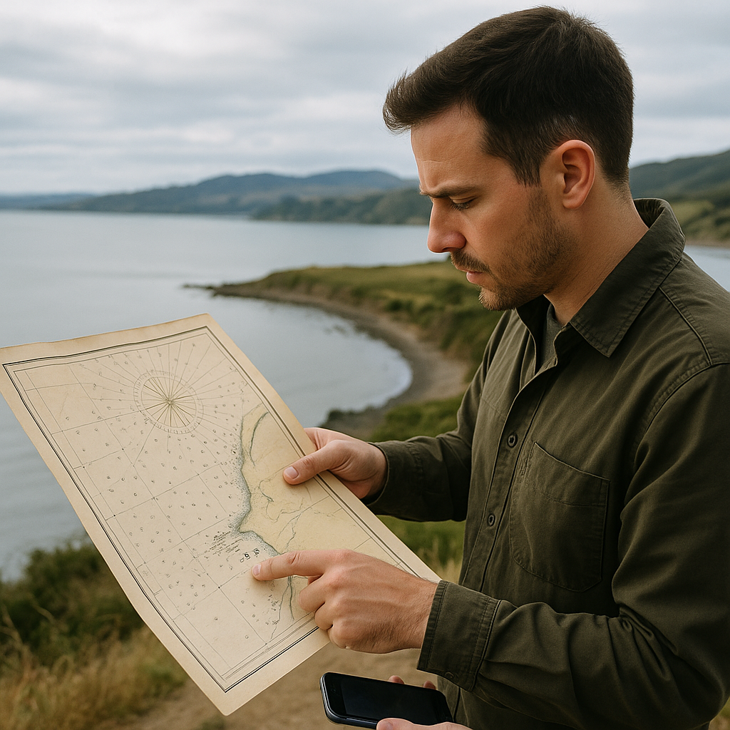
A lot of coastal drives have that one viewpoint turnout that feels randomly placed. You stop because it's there, you take the photo, you leave. The historical-map version of that stop starts with an old harbor chart, not a tourism map. Charts are blunt. They care about depth soundings, hazards, and what a working vessel needs to know. Which is exactly why their little side notes are gold for finding landmarks that most travelers never think to look for.
When I'm planning a drive, I pull up a historical chart for the bay or river mouth I'm passing through, and I zoom in until I can read the marginalia. I'm not hunting shipwrecks. I'm hunting the human-made features that were useful enough to chart: landings, shoreline structures, piers, wharves, and other details that appear on particular historical surveys. Then I cross-check it against the modern shoreline. If the chart shows a landing on a point that's now just reeds and riprap, that is a stop. Not because it's scenic, but because it's usually where a road once had a reason to end.
On the ground, I treat it like a low-stakes field check. You park, you walk a short distance, and you look for geometry: a straight run of stones that does not match the shoreline, an unnatural notch in a bank, a line of pilings at odd spacing, or a flat shelf that feels engineered. I've found old ferry approaches that are now just a quiet slope behind a boat ramp and a broken concrete abutment half-buried in grass. I've also had the chart send me to a ruin that turned out to be nothing more than a few squared stones and a change in vegetation. That's still useful. It tells you that the feature appeared on that historical chart. Confirming exactly what survived may require another source, especially because shorelines and harbor infrastructure can change substantially over time.
The practical payoff is that you stop for something with a story you can see, not just a viewpoint. I keep the chart screenshot on my phone and match headlands and bends as I walk, just like you'd match a skyline. If you're traveling with someone who rolls their eyes at history, this is the version that wins them over because it feels like solving a small, physical puzzle instead of reading a plaque.
Following a vanished coastal road line to a forgotten marker stone
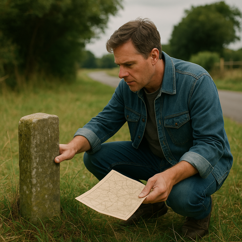
The easiest way to miss an old coastal landmark is to stay loyal to the current highway. Roads get straightened, elevated, or shoved inland after storms, and the old alignment becomes a frontage road, a driveway, or a strip of trees that looks like nothing. On older maps, though, the earlier line is often drawn clearly. You can see the bends that hugged the bluff, the little causeway that crossed a marsh, the spur that ended at a landing. That line is a breadcrumb trail to the kind of landmark that never gets a big brown sign anymore: a boundary stone, a mile marker, an old tollhouse foundation, a tiny cemetery set back from the new traffic.
I start by pulling a high-resolution scan of a late-1800s or early-1900s county map or coastal survey and marking two things: where the old road diverges from the modern one, and where it does something purposeful. Purposeful is the key. A sharp bend to dodge a creek. A split where one leg goes to Landing or Point, and the other continues. A small labeled feature, such as Monument, Stone, Gate, or even a named house. Then I overlay it mentally with today's satellite view. I'm not trying to force an exact match; I'm looking for the telltale remnants: a line of mature trees, a strangely straight property boundary, a narrow strip that runs behind newer lots.
On the drive itself, this becomes a deliberate detour rather than a wandering one. I turn off where the old line peels away, and I watch for the road that suddenly narrows, drops its shoulder, and feels older under the tires. Sometimes it is still paved. Sometimes it's gravel. A no-outlet sign is where I slow down and check access before continuing, because an old mapped road can now cross private property or end somewhere vehicles are no longer allowed. I only continue on foot where public access is clear, using legal parking and respecting posted property boundaries, because the landmark is often just off the drivable part now.
I've found marker stones by scanning for things that look too squared-off to be natural: a dressed block at the edge of a field, a low post in a hedge, a stone with a flat face turned away from the road. If I find one, I leave it untouched and photograph it from different angles rather than cleaning, rubbing, or prying at the surface. The nice part is how this changes your whole coastal drive rhythm. Instead of bouncing from beach to beach, you end up stitching the shoreline together with these small, stubborn artifacts that stayed put while everything around them got rebranded.