
Pull up an old map layer, and a familiar tourist destination can suddenly look very different. A road that disappeared, a ferry crossing that no longer exists, or a small settlement that changed names can reveal alternate ways to explore a region, and give you a better sense of how people once moved through it.
Pick a Base Layer That Still Shows the Boring Stuff
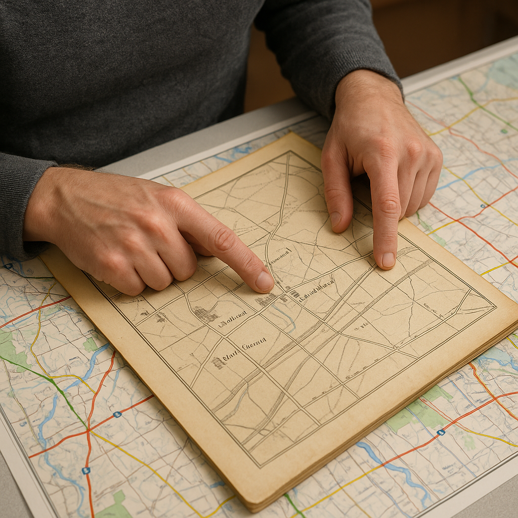
When people say they looked at a historic layer and it "changed everything," nine times out of ten, they picked the prettiest one. The handsome, engraved tourist maps are fun, but they love bold borders, heroic mountains, and not much else. To find more peaceful routes through famous regions, I look for detailed, practical maps. They label sawmills, schoolhouses, churches, and wagon tracks that can reveal how people once moved through the area.
My short list: county atlases from the mid-1800s to the early 1900s, military survey sheets, and cadastral maps showing property lines and field boundaries. Those sources tend to include the unglamorous connectors that later got swallowed by highways or rebranded as "scenic drives." On a modern basemap, the same area might read like: one main road, one attraction, one parking lot. On an older sheet, you might see three parallel lanes and a diagonal track that reflects how people once moved goods across the landscape.
Here is the practical test I use before I commit to an overlay: can I spot at least three tiny place names that aren’t on today’s signage? If yes, that map will be useful because it indexes daily life. Then I line it up on top of a current map and look for mismatches that feel like low-risk bets: a road that stops abruptly at a river (old ford or ferry), a dotted line that appears to follow a corridor that may still exist as a trail or public right-of-way, or a string of buildings that hints at an old hamlet center (good for the bakery and the bench).
The Slider Move: Watch for the Bend That Never Moved
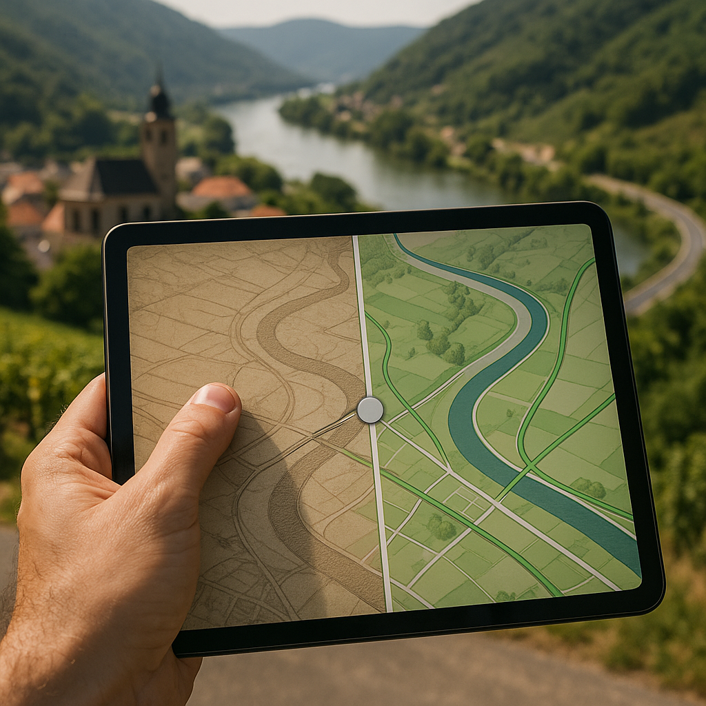
I don’t trust my eyes with a static overlay at first. My brain will happily convince me that two lines match because I want them to. The move that keeps me honest is the slider: fade the historic layer in and out while keeping one reference point pinned in my mind. A church, a tight river bend, the point where two valleys meet, an odd triangular plaza. Rivers are especially good because, while they can shift, major bends in established valleys can provide useful reference points.
Once you’ve got one anchor, the fun part is what jumps when you slide. A modern road might look like a purposeful curve for scenic effect. Slide to the older sheet, and you realize it’s following an ancient property edge, or it’s dodging a marsh that’s now a soccer field, or it’s tracing the outside of what used to be a fortified line. That realization doesn’t just satisfy the history itch. It gives you a way around crowds. Older routes sometimes follow gentler grades and subtler contours than modern roads.
Here’s what I look for, in order:
- Old junction density. If the historic layer shows a messy knot of intersections and today it’s a clean T-junction, something got simplified. The change may indicate that traffic is concentrated on a smaller number of routes.
- Disappearing crossings. Former ferries and fords can sometimes be identified by roads or tracks approaching the water from both sides. Even if the crossing is gone, those approaches often survive as calm lanes that stop at a picnic spot or a fisherman’s pull-off.
- Names that migrated. When a hamlet name appears in a different location over time, the older site can be worth investigating. I’ve had days where the only reason I found the old center was that the historic label sat slightly off from the modern one when I slid the layers.
The slider also keeps you from making a rookie mistake: assuming an old path is walkable just because it’s drawn. You’ll see when a line is a true corridor that persists (it keeps matching parcel edges and contours) versus a one-off track that vanishes into what is now a vineyard, a reservoir, or a fenced industrial yard.
Turn a Vanished Rail Line Into a Crowd-Avoidance Spine
If you only try one historic-overlay tactic in a famous region, make it this: hunt for a rail line that used to connect the busy highlights, then see whether parts of that corridor are now accessible as a trail, park, or other public route. Railways were generally engineered around relatively gentle grades and carefully planned curves, although their routes varied considerably with terrain and engineering constraints. That can make former rail corridors useful for getting around without relying entirely on the main tourist roads.
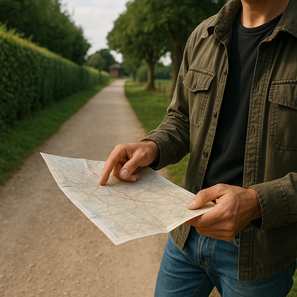
The process I use is embarrassingly simple. I pull up a historic transport layer or an old topographic sheet and trace the rail alignment with my finger until I find two things: (1) where it intersects today’s main road near the attraction everyone’s queuing for, and (2) the nearest spot where the corridor is clearly public right-of-way now (a rail-trail, a linear park, a service road, sometimes even a bike path marked on the current layer). If the corridor is publicly accessible, I use it as a connector and add small detours rather than trying to drive between every stop.
What this looks like on the ground: you step off a loud parking lot and, ten minutes later, you’re walking next to a hedgerow with that classic rail-bed feel underfoot. The gravel is packed, the grade is forgiving, and the scenery changes at a human pace. You’ll pass the back sides of towns instead of their gift shops. You’ll also stumble into the kind of places that don’t need to fight for attention: an old station platform that’s now a bus stop, a converted signal box, a straight row of plane trees planted to shade workers, a dead-end lane where someone still has “Depot Road” on their mailbox.
A couple of reality checks, because not every line on an old sheet is a pleasant stroll. I confirm access on the modern layer (look for trail markings, public footpaths, or an actual named greenway), and I assume any stretch that crosses active tracks is not a casual hop. If the corridor is fragmented, I don’t force it. I use the intact segment as a calm connector between two small nodes, like a village bakery and a lesser-known viewpoint, and I let the crowded main site be a quick visit instead of the whole day.