
Three ways to find overlooked trailheads using MVUMs, roadside clues, and gate signs.
Use the MVUM to check which roads are open to motor vehicles
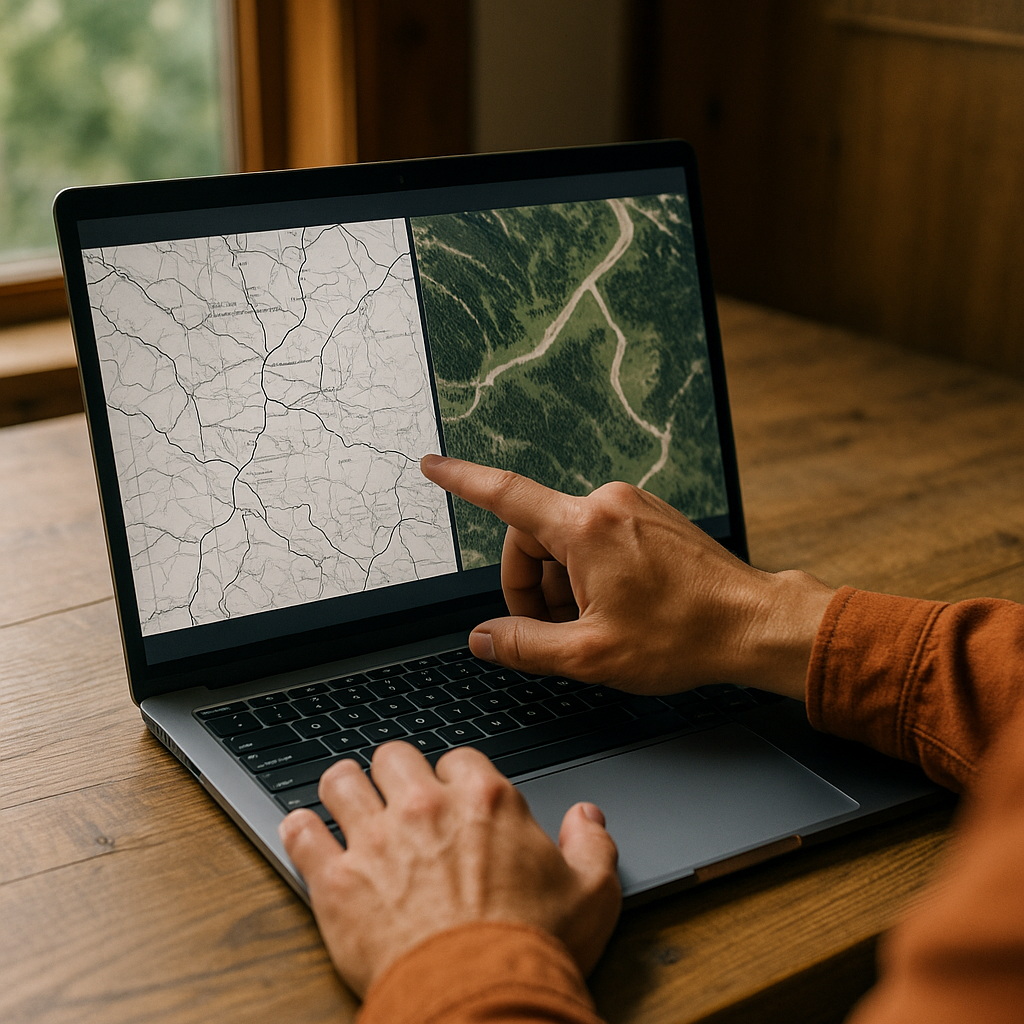
If you want hidden trailheads without the drama of guessing where you can leave a car, start with the forest's MVUM (Motor Vehicle Use Map). It's not a pretty map, and it won't flatter your plans. That's the point. In national forests, that map can help you confirm which roads and trails are designated for motor vehicle use and whether seasonal restrictions apply.
Here's how I work it, sitting at a laptop with two windows open: MVUM on one side, a topo or satellite layer on the other. I zoom the MVUM until I can read the road numbers and the little symbols that look like printing mistakes. Those road lines and short spurs can help narrow down possible access points, but I check the map legend and local Forest Service information before assuming a spot is legal for parking or serves as a trailhead.
Then I do a very specific cross-check: I trace the road on the MVUM until it intersects something that appears in the terrain (a creek crossing, a saddle, or a junction that forms a clean Y). After that, I look for the human tells on satellite: a pale scrape of gravel, two or three parallel tire tracks, a rectangle where someone has spun a trailer around. If the map or current Forest Service information indicates a closure or restricted continuation, I treat it as a hard boundary even if satellite imagery shows a road beyond it. Gates are where hidden trailheads get weird fast.
On the ground, the MVUM gives you confidence to stop at the unglamorous pullout that feels like nothing. The last time I did this, the only sign was a battered carsonite post half-buried in cheatgrass. But the MVUM confirmed that I was on a designated motorized route, and I checked the pullout itself before treating it as a legal place to park.
The 18-mph rule for spotting the pullout everyone blows past
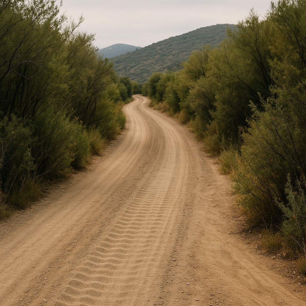
Hidden trailheads love one specific kind of road: washboarded, just wide enough for two cautious cars, lined with brush that leans in and steals your sightlines. On that sort of approach, I keep my speed boring on purpose. About 18 mph is my sweet spot. At 30, you miss the only usable pullout. At 10, you're staring so hard you start seeing ghosts.
What I'm looking for isn't a big gravel lot. It's a change in texture. The shoulder goes from dust to something a little lighter, like crushed decomposed granite. The ditch breaks for ten feet. There's a faint lip where tires have climbed out and then dropped back in. Sometimes it's just a pair of rocks that have been nudged aside over and over. The best tell is a short stretch where the vegetation suddenly stops getting mowed by mirrors. You can see it: a narrow corridor where branches are snapped at the same height, the kind of damage SUVs do without meaning to.
Before I leave service, I drop two pins in my map app: one at the suspected pullout, and one 0.2 miles past it. The second pin is my backstop, because the first time you hunt for one of these, you'll talk yourself out of stopping. If I hit the second pin and haven't seen anything, I turn around immediately while I'm still calm and daylight-rich. Turning around later, when you've convinced yourself the trailhead has to be farther, is how you end up committing to the wrong drainage.
Once I'm stopped, I don't hop out and sprint into the trees. I stand by the rear quarter panel and listen for a full minute. If the creek, terrain, and mapped features line up with what I see around me, I have another clue that I'm near the intended access point. I still verify the location against the map before setting off. The hidden trailhead that matters is quiet in a very specific way: scuffed ground, a tiny opening, and that little feeling that you're early, even if you're not.
Screenshot the gate sign before your hands get cold
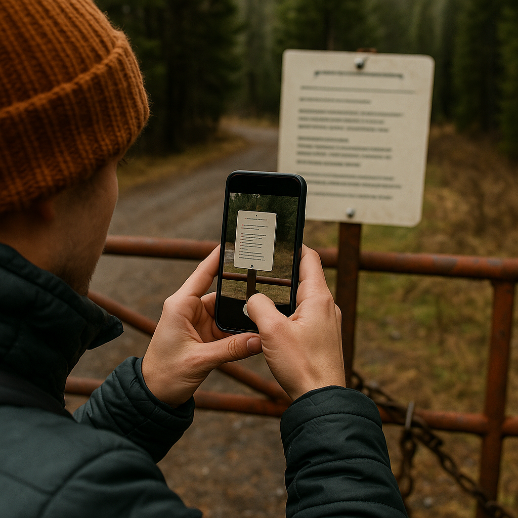
Hidden trailheads come with hidden rules. Not in a sinister way, more like: there's a gate, there's a sign, and the sign has three pieces of information you won't remember after you've done the hike, bonked a little, and driven back down a rutted road while arguing about snacks.
I learned to take screenshots or photos of gate signage the same way I learned to label my car key in my pack. After one long out-and-back, we rolled up to a locked seasonal gate we swore had been open. The sign had the schedule, the district phone number, and a note about a combination lock for permitted users. We had stared at it in the morning and absorbed none of it. Classic.
Now I take a quick photo the moment I see the sign, even if I think I don't need it. I make sure the frame includes:
- The road identifier (a forest road number, a route name, anything that ties it to the map later).
- Dates and hours for seasonal closures or motorized restrictions. Those details blur together fast.
- The contact line for the ranger district, plus any permit language that might matter if you have to explain where you're parked.
This isn't about trying to outsmart closures. It's about not building a whole day around a trailhead that only works if you arrive before a posted time, or only works outside a seasonal window. When you're planning a route carefully, the hidden trailhead isn't just where you start walking. It's the hinge that determines whether you can even reach your starting point without improvising.
There's another tiny benefit: that photo becomes your breadcrumb if you need to tell a friend where you went, not in the abstract. You can text them the exact sign, the exact road, and the exact rule set, which is the kind of detail that makes a remote plan feel solid instead of hopeful.