
I plan the route with three layers: a short waypoint spine, a trackable corridor, and a paper backup that matches my screen.
Build a waypoint spine, not a pin pile
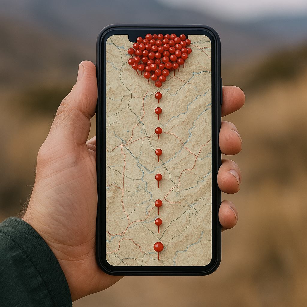
The first time I tried visiting a remote heritage spot with no service, I did what everyone does: I saved everything. Trailhead, every junction, every pretty overlook, the ruins, the spring, the "maybe camp," and a couple of bailout roads I wasn't even sure were drivable. Offline, that turned into a mess, my phone kept redrawing icons over cached tiles while I stood in the wind trying to figure out which of my 47 pins mattered.
Now I build a waypoint spine. It's intentionally simple: I use only the waypoints needed for the route's major decisions, hazards, water sources, and turnaround points, with the total depending on the terrain and the length of the trip. Think: trailhead or parking pullout, the last reliable water, the one junction where the wrong turn costs an hour, the "stop here and reassess" saddle, and a hard turnaround point that keeps me from pushing into a sensitive area too late in the day. Everything else becomes context, not a target, and I never save or share precise site coordinates until I have confirmed that public access is permitted and that publishing the location will not endanger fragile or culturally sensitive features.
I label them as if I'm going to read them with cold fingers and a dim screen: "JCT: stay on bench trail" beats "Junction." I also put the action in the first 12 characters because that's what I see in most map apps' waypoint lists. And I don't rely on pretty icons. A skull emoji feels funny until you realize emojis sometimes render differently offline, and then you're staring at empty squares while your brain does gymnastics.
One more thing that sounds picky, but it saves you: I keep the spine in a dedicated folder (or list) named for the trip and export it as a GPX file before I leave Wi-Fi. I want it portable across Gaia GPS, CalTopo, OnX Backcountry, whatever a partner happens to use. If the route exists only within one app's private sync, a device failure or an account issue could leave the group without a usable copy.
Download corridor tiles with two zoom rules
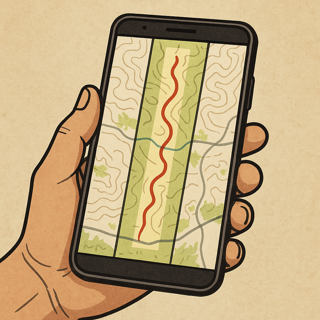
If you only download a narrow strip around your intended route, you're betting your day on perfect execution. That's fine for a rail-trail. It's a bad bet when you're picking your way to a heritage site where the trail might be a faint line, a wash, or a social path that braids and disappears. My offline download covers the planned route, likely detours, and approved alternatives.
Here's the routine I use in whichever app I'm in: I download a corridor wide enough to cover realistic detours, adjusting the boundary for terrain, closures, private property, and culturally restricted areas. It sounds like extra storage, but it keeps me from staring at blank tiles the moment I contour around a blowdown, detour around a closure sign, or decide to approach from a different drainage because the wind is doing something weird. I also include the trailhead road and the nearest paved connection. Not because I'm planning to bail, but because I don't want my offline map to end right where the decision gets stressful.
Then I apply two zoom rules. Rule one: download a mid-zoom that shows the whole corridor at once (so I can understand the terrain shape and major landmarks), and a close zoom where I can read minor contour wiggles and see tiny forks in washes. Rule two: if the app lets you select multiple layers, I grab one topo layer and one imagery layer. I don't treat imagery as proof that a route is open or accessible, but it can help me spot open slickrock, clearings, old roadbeds, and straight-line scars that may pull me off-route.
After downloading, I do a dead-simple test that feels silly until you do it once: airplane mode on, reboot the phone, open the map, and pan wildly around the corridor at both zoom levels. If any area turns gray, I fix it at home instead of pretending it'll be fine out there. Limited connectivity has a way of turning little gaps into big time sinks.
Paper map reconciliation: match your grid to your GPS
I like apps. I trust paper. I don't trust the moment when my phone decides it's overheating, my battery drops faster than it should, or my partner's device is showing coordinates in a different format. So before I head out to a heritage location without a reliable signal, I get the paper and the phone to agree, like they're on the same team.
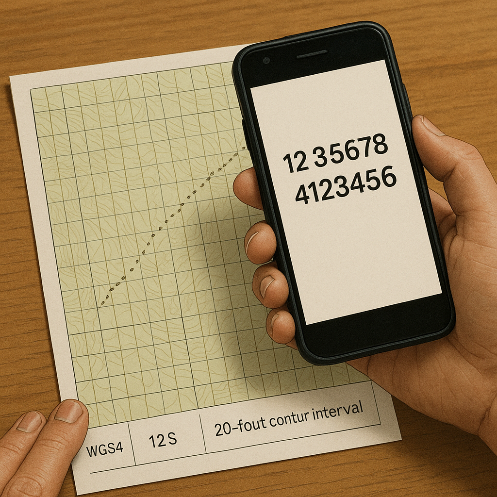
Start with the boring settings: make sure your GPS readout is in the same coordinate system you'll use on paper. For me, that's usually UTM with a printed grid, because it's fast to plot and easy to communicate: "I'm at 12S 345678 4123456" is cleaner than juggling degrees, minutes, and seconds when the wind's ripping your map around. If you're sticking with lat/long, pick one format (decimal degrees or degrees-minutes-decimal minutes) and lock it in across everyone's devices. This is not the place to be flexible.
Then I print (or buy) a topo sheet that covers the corridor, and I write three things in the margin with a Sharpie: the datum (usually WGS84 if I'm using modern GPX data), the UTM zone, and the map's contour interval. That last one matters because people misread steepness when they jump between 10-foot and 40-foot intervals without noticing. I also pre-mark my waypoint spine on the paper with tiny dots and short labels, nothing artsy, just enough to orient fast.
Finally, I do a quick reconciliation at the trailhead: I grab a known point like the parking pullout, a signed junction, or a bridge crossing, and compare the phone's coordinates to where that sits on the printed grid. I'm not trying to prove the GPS is perfect. I'm checking that I'm not off by a zone, a format, or a datum mismatch that will haunt me all day. When connectivity is limited, small setup mistakes don't get corrected by a helpful blue dot. They just get carried farther into the backcountry.