Scientists Release the Most Comprehensive Map of Antarctica to Date
When you first see Antarctica on a globe, it looks like a smooth sheet of ice pressed against the bottom of the planet. But the rugged continent buried underneath is filled with sights that no one has laid eyes on directly.
The good news is that a new project, called Bedmap3, has peeled back the ice to reveal the hidden world below with more clarity than ever before.
So, What Lies Under the Ice?
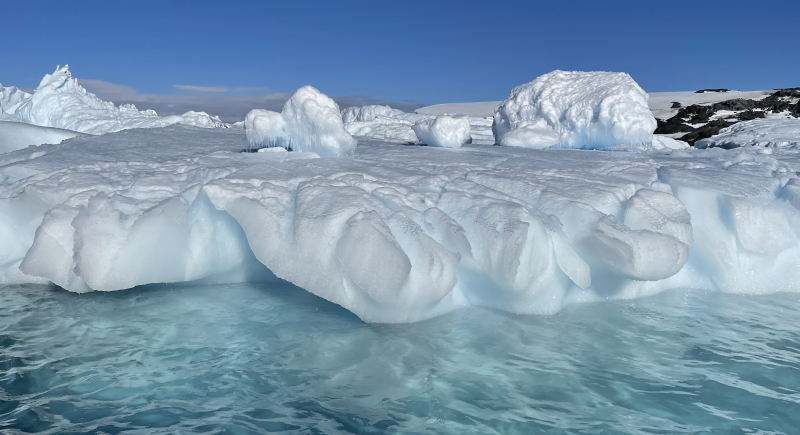
Image via iStockphoto/Katrin Waples
Antarctica’s ice sheet contains about 27 million cubic kilometers of frozen water, which makes the land beneath impossible to see directly. To solve that problem, scientists created Bedmap3, a digital map that virtually strips away the ice and reveals the rocky continent below. This map is built from more than 82 million measurements gathered over sixty years, and offers a high-resolution view plotted on a 500-meter grid.
So far, the map has uncovered the continent’s tallest buried mountains and the deepest canyons. The thickest overlying ice—around 4,757 m—can be found in an unnamed canyon in Wilkes Land (76.052°S, 118.378°E). That’s more than 15 times the height of the Shard skyscraper.
The new dataset also reveals that much of Antarctica’s ice sits on bedrock below sea level, which means it’s especially vulnerable to warming oceans. Altogether, the ice sheet has an average thickness of about 1,948 meters (over 2,100 if ice shelves are excluded) and enough volume to raise global sea levels by an estimated 58 meters if it were to melt completely.
A New Look at Antarctica’s Seafloor
Scientists also turned their focus to the ocean floor and created the most detailed map yet of Antarctica’s submarine canyons. These enormous valleys shape how water moves around the continent and how heat from the ocean reaches the ice above.
In total, researchers identified 332 canyon networks, some plunging over 4,000 meters deep. The eastern coast is carved by sprawling, branching systems with wide U-shaped profiles, while the west features shorter, steeper canyons with sharper V-shapes. Those contrasts reveal how glaciers shaped each side of the continent in very different ways.
The Effort That Went into Bedmap3
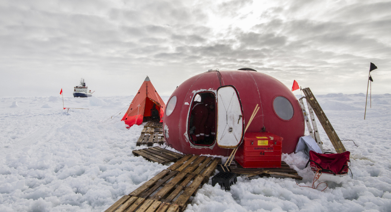
Image via iStockphoto/Tenedos
Creating something this comprehensive took decades of work and a mix of techniques drawn from across the globe. For example, aircraft were used to collect laser and radar readings, while ground teams hauled instruments on snowmobiles and sleds.
Meanwhile, seismic surveys utilized controlled explosions to render the rock beneath, and some of the earliest data even came from dog-drawn expeditions.
Modern computing finally pulled all of that information together. But only after researchers developed software that could handle millions of bathymetric records and calculate the dimensions of canyons with precision.
The result is the clearest view yet of Antarctica’s hidden foundations, which is a resource that scientists will rely on for years as they study how the continent responds to a warming climate.