
Three satellite-image checks for oasis routes: vegetation shadows, salt-ring clues, and access tracks that may be seasonal or unreliable.
Time-of-day shadows can reveal hidden vegetation
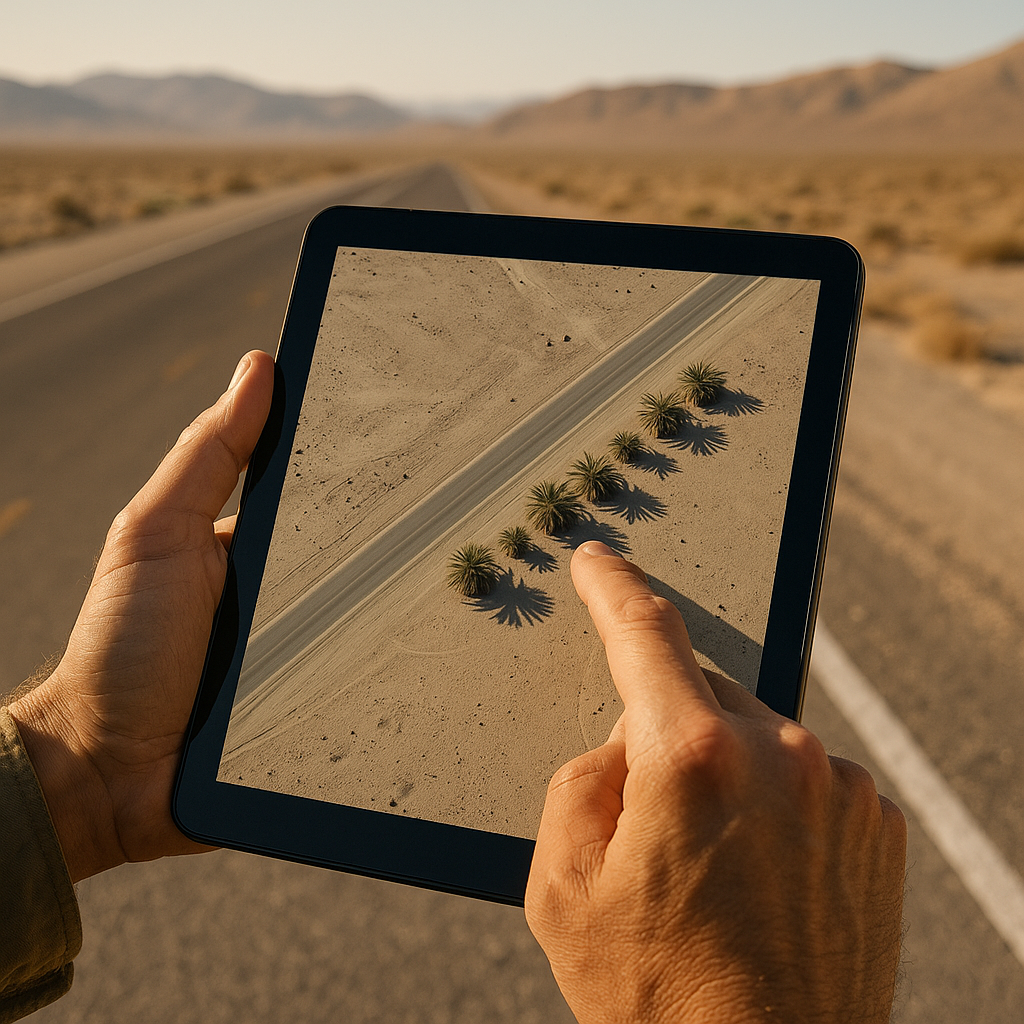
When I'm trying to stitch a desert highway route between isolated oases, the first thing I do in satellite view isn't zoom for a blue dot. I hunt for shadows. Not the dramatic canyon kind. I'm talking about tiny, stubborn, dark commas that show up where the surrounding ground is baked flat. Palms, tamarisk, even a line of acacia will throw a shadow that reads differently from a boulder or a billboard. That difference is easiest to see when the imagery was captured with the sun at a low angle.
In Google Earth (desktop is still the least annoying for this), I click around for the image date and then pay attention to the direction and length of shadows. A real stand of trees usually casts a cluster of parallel shadows that share a direction, with slightly fuzzy edges. Big rocks tend to be single, hard-edged blobs with a highlight on one side. Manmade shade (a fuel station canopy, a walled compound) is geometric and often sits right on a road grid.
Here's the move I use when I'm unsure: I back out until I can see a half-mile radius, then I follow the shadow line. If clustered vegetation shadows appear around a shallow basin with darker soil or a different surface tone, I flag the area as a possible moisture zone and verify it with other map sources before changing the route. If the shadows are scattered randomly over a ridge with no basin, it's usually just rock texture and wishful thinking.
Two practical notes from hard experience: (1) if the imagery is midday, shadows get short, and everything lies to you. I don't trust a midday capture for vegetation checks. (2) Seasonal shadows matter. A place that looks lush in a winter capture can be a sad tan smear in late summer. I open at least two image dates if they're available. If the vegetation signature disappears entirely in one season, I treat the site as unreliable and avoid building the route around it. The goal is planning, not gambling.
Spot the salt ring before you commit to the turnoff
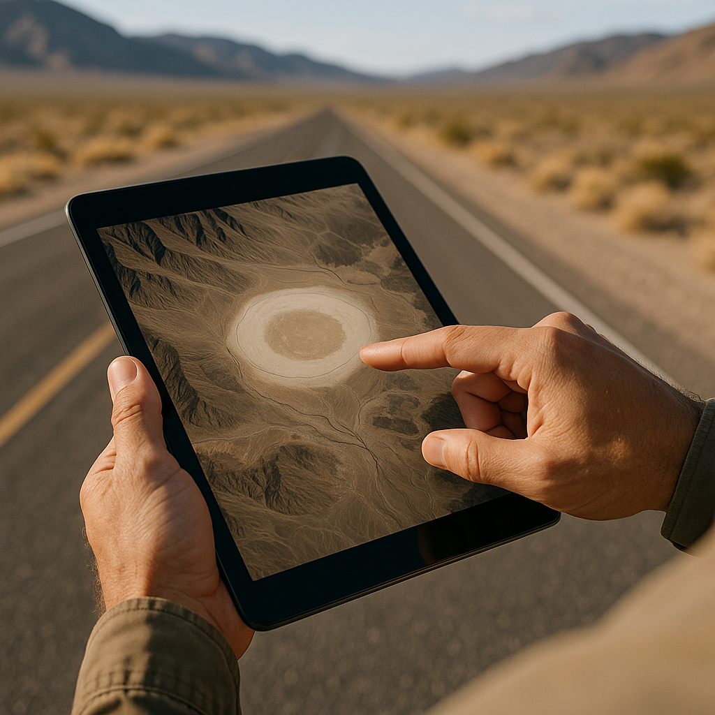
I've wasted more fuel than I'd like to admit chasing bright white patches that looked promising from a zoomed-out view. In desert satellite imagery, white can be a lot of things: salt flats, gypsum, dry lake beds, even sun-bleached sand. For route planning to oasis ecosystems, white is useful, but only if you read it as a footprint rather than a beacon.
What I look for is a salt ring with context: a pale halo around a slightly darker center, often with faint, curving shore-like lines. That pattern can indicate repeated pooling and evaporation, which may leave mineral deposits around a basin. If the ring sits at the bottom of a drainage fan or a shallow bowl, it's a better clue than a random white streak on a ridge.
Then I zoom in and check for two things that will immediately change my plan. First, the edges. A living oasis area often has messy edges: uneven patches of green, brushy texture, or a darker soil tone that bleeds outward from the basin. A bare playa may look comparatively uniform, but surface color and texture alone aren't enough to rule out seasonal moisture. Second, human scars. If I see well-worn tracks, structures, or agricultural plots, I treat them as evidence of human use and investigate whether a dependable water source is documented nearby. If it's pristine white with no visible approach tracks, I treat it as an uncertain destination rather than something worth building the route around.
This is where I integrate what the satellite shows with the reality of the highway. If the only access is a long, braided two-track crossing a wash, I mark it as a no-go unless I'm already in a vehicle and the season allows it. I also treat wide, pale mud zones as a warning. They can look bone-dry from above but turn into axle-sucking goo after a storm, and a satellite snapshot won't tell you what happened yesterday.
My personal rule: the salt ring is a planning signal, not a promise. I use it to decide where to build flexibility into a day, where to top off water and fuel on the pavement, and where a bailout route is needed. If the ring is the only thing that looks interesting, I don't put it in the route as a required stop. I put it in as a maybe, and I keep driving like it's going to be nothing.
The post-rain track problem: roads that vanish on the next run
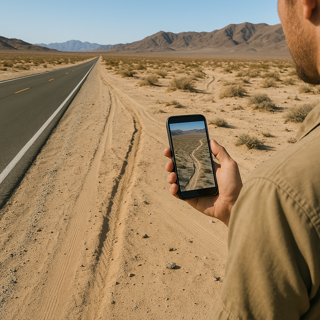
Desert highways lure you into thinking everything off the pavement is permanent. It's not. One major limitation of satellite imagery is that a visible desert track may be temporary, outdated, or usable only under certain ground conditions.
I plan around this by treating access as its own layer, separate from whether the oasis is there. I'll use Google Earth to inspect the approach, then cross-check OpenStreetMap and other available maps to see whether the track is documented. A mapped route is still no guarantee of current conditions, but agreement across multiple sources is more useful than relying on satellite tire marks alone. If OSM is blank and the satellite view shows two faint lines that fade in and out, I assume it's ephemeral.
The specific thing I watch for is continuity through trouble spots. A durable route keeps its shape across wash crossings, around dunes, and through rocky fans. An opportunistic post-rain route does the opposite: it meanders, splits into braids, then disappears right where you'd least want to lose it, like the downcut edge of an arroyo. In satellite view, that looks like a zipper that doesn't quite close.
When I see that, I don't try to outsmart it with optimism. I adjust the whole highway day, so I'm not counting on that access. I could still swing by the area for a look, but I do it early, with plenty of daylight and a clean turnaround plan that doesn't require a three-point turn in soft sand. I also place my fuel stop on the assumption I'm coming back to pavement, not popping out somewhere else.
One more boring but useful integration trick: I mark any wash crossing that shows a sharp shadow line as a potential cut bank. That shadow can mean a sudden drop you won't see until you're on it. A satellite doesn't tell you the current depth, but it does tell you where the land tends to break. If reaching the oasis requires several uncertain crossings of washes, treat the route as high-risk and look for a better-documented alternative.