
Print two layers, line up three fixed points, and suddenly that odd road kink makes sense.
Print-and-trace overlays for the road that won't explain itself
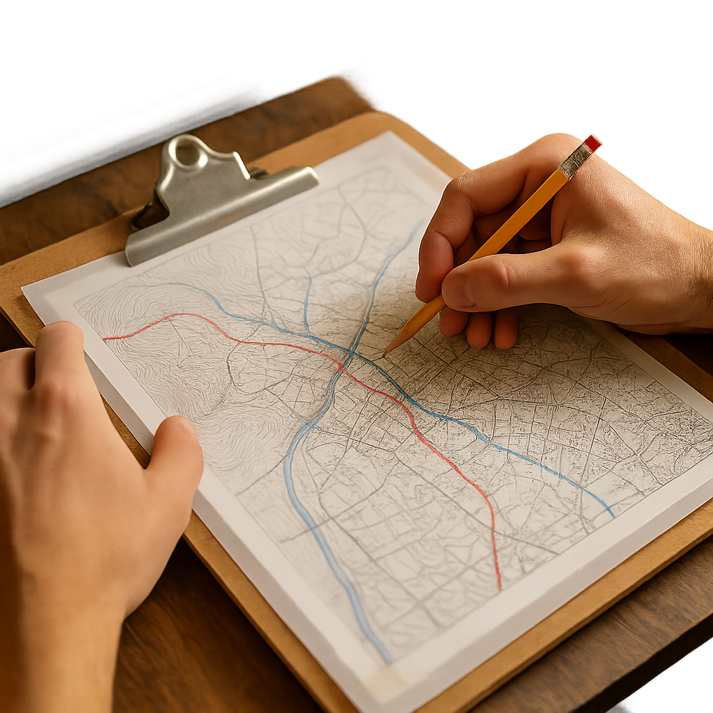
When I'm trying to spot a lost trade route pattern, I stop staring at one perfect, modern basemap and make the mess visible on paper. My go-to is a two-sheet overlay: one current topo and one older scan (Sanborn sheets, a 19th-century county atlas, or even an early highway map) printed at the same scale. I don't need fancy gear. A printer, two pieces of transparent tracing paper (vellum works), a clipboard, and a sharp pencil are enough.
Here's the part that matters: alignment. Pick three fixed points that almost never move across centuries. Church spires are tempting but they can shift; I prefer a river confluence, a ridge saddle, and something stubborn like a stone bridge location or a cemetery boundary. Mark those on both prints, then tape the corners so the overlay can't drift while you're working. If your printer adds a tiny margin shift, don't fight it with vibes. Add a simple scale bar on each print and make sure 1 mile on one sheet is 1 mile on the other. If it isn't, reprint and save yourself the headache.
Once the sheets line up, trace only what a trader would have cared about: passable gradients, water access, and choke points. I use one pencil color to trace ridgelines and another for waterways, then I lightly ghost in roads. What usually jumps out is the stubbornness of the older path. The modern road may have been straightened, but it will still kink at the same saddle, or it will dogleg to the same ford even when a newer bridge sits upstream. I've had days where a town's main street looked like a planning mistake until the overlay showed it was simply sitting on the only dry approach from the old riverbank market. Paper makes that obvious in a way a zoomable screen somehow doesn't.
The three-landmark sanity check before you trust an old scan
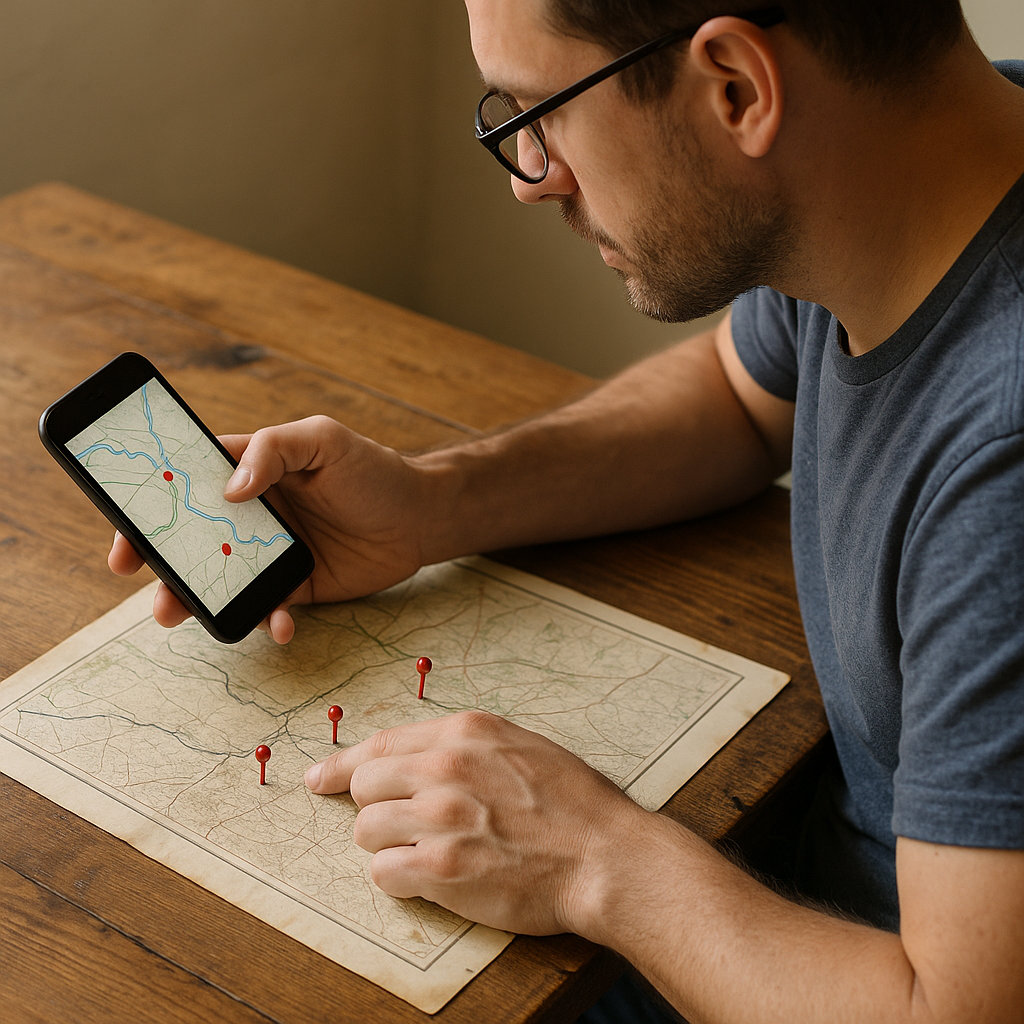
I love an old sheet as much as the next map nerd, but I don't treat it like scripture. Before I let a historical scan convince me that a caravan track ran right over today's suburb, I do a quick three-landmark sanity check. It takes five minutes, and it keeps me from building a whole day around a drawing error or a mapmaker's shortcut.
Landmark one is water. Not just any river squiggle, but something with a signature shape: a tight bend, a confluence, a coastline notch. Landmark two is topography: a ridge crest that forces movement to one of two saddles, or a pass that keeps showing up no matter what era the map is from. Landmark three is human infrastructure that tends to stick around: a town square footprint, an old bridge location, a rail corridor, a long cemetery boundary, or a fort site. (I try not to use individual buildings unless they're well-documented and old enough to have survived multiple redraws.)
On my phone or laptop, I'll pull the old scan up next to a modern topo and drop quick pins on those three points. If I can't get all three to roughly match orientation and spacing, I don't throw the map out, but I downgrade what I'm using it for. Maybe it's still great for place names or for showing a ferry crossing that no longer exists. It's just not precise enough for claiming that today's border kink comes from a customs gate drawn in the wrong spot.
When the three points do line up, that's when the fun starts. The lost trade route patterns usually appear as negative space: a string of inns that makes a bead line along the easiest grade, a market town sitting one ridge back from the coast, or a modern highway that keeps avoiding one patch of ground because the older route learned, the hard way, that it turns to mud. It's less romance and more geometry, and that's why it works.
Why the border looks like a saw blade along one ridge
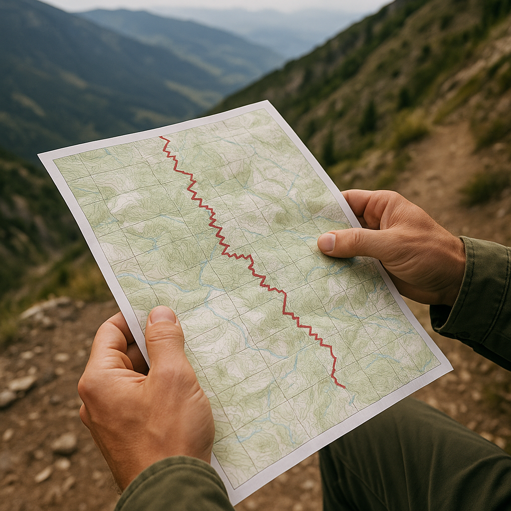
One of the easiest lost trade route patterns to spot, once you've trained your eye, is a border that refuses to behave. Not the neat river boundary you can explain to a kid in the back seat, but that saw-blade zigzag that rides a ridge, dips into a valley for no obvious reason, then climbs back up like it got spooked. When I'm planning a trip through a border region and I see that shape, I start looking for old movement corridors that needed policing: passes, toll points, and the places you could funnel carts without chasing them across open ground.
On a topo, a ridge is a natural divider, sure. But the jaggedness usually comes from control points rather than pure geography. A long time ago, if you're moving salt, cloth, metal, tea, horses, whatever, you don't want twenty options. You want two: the pass you can actually cross, and the valley road that stays dry enough to keep wheels turning. Authorities wanted the same thing for the opposite reason. You can't tax or inspect what you can't predict, so borders and jurisdictions often wrapped themselves around the predictable pinch points where people already had to go.
Here's what I do with a modern basemap before I ever get on the train or rent the car. I trace the ridgeline, then I mark every saddle and every place a road crosses the crest. If the border's teeth line up with those crossings, I treat it as a clue, not an accident. Then I scan for old town names that sound like their job: customs, gate, ford, bridge, market, fair. You don't need them all to be literal; you just need a cluster.
Travel payoff: those pinch points are still where roads, bus lines, and even cell coverage tend to concentrate. You'll feel it in real life. The highway suddenly has service stations again, the town has a weekly market that looks older than its storefronts, and the main road runs straight to the same notch in the ridge that made sense for pack animals. If you like walking, those are also the places where an old footpath often survives as a parallel line in the trees, a little higher and drier than the modern shoulder.