
A dot-grid overlay, a compass, and one street-name tell can expose the route under your rental car's GPS line.
Dot-grid overlays: the 10-minute pattern finder
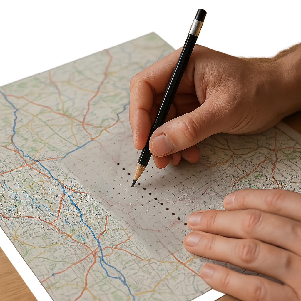
I started carrying a thin, transparent dot-grid overlay (the kind cartographers use for quick measurements) after I got tired of arguing with myself about whether a route on a modern road map was just convenient, or if it was inherited. You do not need a fancy GIS setup for this. You need a printed map at any consistent scale (a local road atlas page, a tourist map, even a laser print of an OpenStreetMap view), and one dot-grid sheet you can lay on top.
Here is the move. Pick a stretch you are curious about, like that long road that seems to ignore the terrain and keeps cutting through town centers. Lay the dot grid over the map and mark, with a pencil, 12 to 20 points along the road. Not the intersections, the road itself. If you land the points evenly, you will see what your eyes miss when you stare at the whole thing: the points line up into a corridor. That corridor is often the old trade direction, and the modern highways are the newer, engineered compromise that zigzags to meet grade limits and property lines.
Once the corridor pops, you can test it against the stuff travelers bump into. Borders are the loudest. A line that looks random on a political map will sometimes ride that corridor because it began as a tariff boundary or a jurisdiction edge meant to control movement and tolls. Cities show up next. On my best days, the dot line runs through a chain of market squares and river crossings, and the “why is there a town here” question answers itself without any romantic backstory.
If you want one practical payoff: this is how I decide which road to follow when I am building a day around old route remnants. The corridor road has the surviving waypoints. You will see it in the pin cluster on your phone later, because those old stopping points still collect gas stations, bus depots, and the one good bakery near the bridge.
Compass bearings from crossroads that still act like tollgates
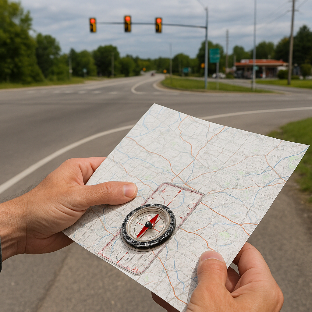
I keep a cheap baseplate compass in my map folder for one reason: old trade routes are stubborn about direction. Even when the road gets “improved,” the wayfinding logic survives in the angles. This is easiest to spot at crossroads that still behave like tollgates: a bridge approach, a valley pinch, the last flat spot before a climb. You can feel it when you drive through. The intersection has extra signage, a wider shoulder, a tighter turn radius than you expect, and usually a cluster of services that look like they are for through-traffic, not locals.
Print your map, draw a north arrow if it does not have one, and pick three of those choke-point junctions along the route you suspect. Lay the compass edge on the “main” line through each junction and read the bearing. You are not chasing perfect numbers. You are looking for repetition. If two or three separate junctions keep giving you roughly the same bearing (say, all trending northeast-southwest within 5 to 10 degrees), that is your inherited route axis.
Now jump from technique to what you see on the ground as a traveler. That repeating bearing is why some borders kink the way they do. A border that looks like a lazy zigzag can be the political version of “control the corridor.” It is also why towns end up with twin centers. You will get an old market street that follows the corridor bearing, and then a later civic axis (a boulevard, a rail alignment) that cuts across it. When you stand in the middle, the city feels like it has two different ideas of north.
If you like mapping apps, this is a satisfying place to use them without letting them drive the whole trip. In Gaia GPS or CalTopo, I will draw a straight line on top of my suspected corridor just to compare angles, then I stop touching the screen. The point is to walk into town already knowing which street will have the old inns, the weighhouse plaque, or the customs-style building that is now a bank. The bearing gets you there faster than a generic “historic district” pin ever does.
Street-name fossils you can spot at 25 mph
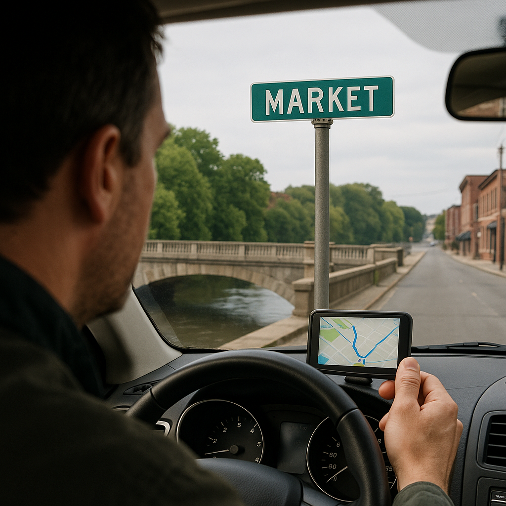
I used to ignore street names because they felt like trivia. Then I started noticing how often the navigation voice would say something like “turn onto Market Street” right after a river crossing, and how often that happened in completely different towns along the same corridor. Once you see it, you cannot unsee it. Trade routes leave name fossils, and they are practical because they tell you where the old movement and money used to concentrate.
Here is the short list I watch for when I am trying to connect borders, roads, and cities without doing a full archive session: Market, Broad, High, Bridge, Mill, Wharf, Port, Customs, and anything that sounds like a gate (Northgate, Watergate, East Gate Road). In a lot of places, “High Street” is not about elevation. It is the main commercial spine that fed off the old route. “Broad” often marks where carts needed room to turn or where a market was allowed to spill. “Bridge Street” is obvious, but the point is how reliably it stacks with the rest: bridge, then market, then a street that hints at storage or measurement.
To use this as a mapping technique, pull up a city map layer and do one pass where you are not looking at icons at all, only labels. On Google Maps, I will zoom to the level where minor streets show names, then I will trace a line through repeated name types, even if the modern road classification changes. That line is frequently the old trade path through town, and it explains why your GPS keeps dragging you through dense centers instead of sticking to the bypass. The bypass is engineered. The centerline is inherited, and it still lines up with where crossings, gates, and toll points used to be.
This also clarifies border weirdness in a way that feels grounded. When a frontier town has “Custom House” Lane on one side of a river and “Market” on the other, you are looking at the old friction point. The border may have moved, but the city kept the layout. If you are traveling, that is gold: it tells you where to walk first, where the older buildings cluster, and where the road you are on used to be worth taxing.