
Three ways I trace local seafood from the harbor to the plate using public charts, fishery records, and waterfront observations.
Start at the landing, not the menu
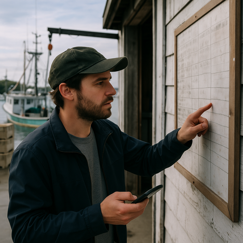
I learned this in a little harbor town where nearly every chalkboard advertised local fish, yet I still wanted to know how much of it actually came through the harbor. If you want to know whether food traditions are still running the daily schedule, you have to stand where the fish hits land and then work outward. I pull up NOAA’s online chart viewer and mark useful waterfront features, such as piers and ramps, then add other facilities I can verify from local maps or directories. Those locations can help you understand how the waterfront is organized, but they do not prove where a restaurant or market gets its seafood.
Then I look for the unglamorous infrastructure: a hoist, pallet jacks, stacks of fish totes, and a scale station. If the dock has a public landing schedule or bulletin board with handwritten updates, I take a photo for reference. Those notices can offer timely information about harbor activity that general visitor guides may not include. On the map side, I add those spots as waypoints and label them by function, not by whatever nickname the locals use. “Ice,” “hoist,” “buyers,” “fuel,” “net shop.” It sounds obsessive until you’re trying to understand why the lunch special is squid today and not tomorrow.
Here’s the move that usually gets me the clearest answer without turning into a nuisance: instead of asking a restaurant what’s “fresh,” I ask a dock worker, when appropriate, when buyers typically arrive. A specific buying time can give you another clue about harbor activity, but a quiet dock or vague answer does not establish where local restaurants source their seafood. Fishing schedules vary with regulations, weather, target species, vessel type, market demand, and other factors.
Read the port paperwork like a street map
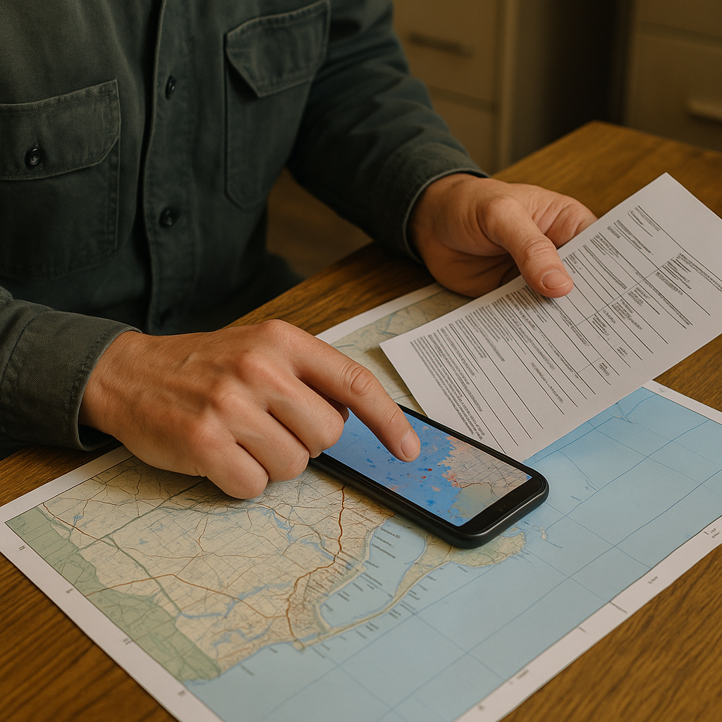
Once you’ve got the landing spots pinned, the next step is to figure out who the town is feeding, and who’s feeding it. Useful public sources can include port authority notices, fishery reports, business directories, and permit or licensing information available from local or state agencies. I treat that paperwork like a street map legend. Repeated business names and addresses across public permits, wholesaler listings, and other records can help identify possible links in the local seafood supply chain.
I may also check AIS-based vessel tracking, while treating it as incomplete rather than a definitive record of fishing activity. When AIS data is available, I compare recorded vessel movements with activity around the harbor. I treat those movements as context because vessel size and trip length may hint at the type of fishing operation, but neither reliably shows where the catch will ultimately be sold or served.
Two practical things I’ve learned to note are cold-storage locations and visible truck activity around public areas. Cold-storage facilities can be located away from the most visible waterfront areas, and their placement may reveal another part of the seafood distribution network. Truck activity can show where seafood is being moved, but observing a truck's location or time of day does not reveal whether its load is local, imported, incoming, or outgoing. Local and imported seafood can both support a town’s restaurants, so the important distinction here is whether daily menus still respond directly to local landings. In towns where local landings strongly influence commerce, fishing schedules can affect market availability and the timing of seafood sales.
Use landing records as another clue
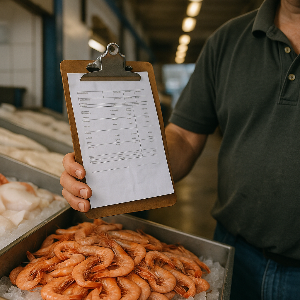
Commercial fisheries often generate landing records, but the terminology and reporting systems vary by jurisdiction. In Alaska, for example, “fish ticket” has a specific regulatory meaning as a record documenting commercial harvest. Formal landing records can include species and landed weight, along with identifying information tied to the landing, although the required fields vary by fishery and jurisdiction. I’m not asking anyone to show me paperwork. I rely on public information and what sellers choose to share.
Public fishery records and information supplied by sellers can provide additional sourcing clues, but travelers should not assume an ordinary receipt or clipboard slip is an official landing record. Even a vessel or dealer name is only a lead unless other information confirms the connection.
I also ask the market one simple sourcing question: “Did this come in through this harbor, or did it come in on a truck?” The wording is direct, and a seller may be able to answer easily, especially when the market is closely tied to local boats or dealers. If they say it came through the harbor, I’ll follow up with, “Which pier do the buyers use?” and I’ll mark that on my map for the next morning. If they say it came in on a truck, I don’t argue. I just note it, because it changes what I do next. Instead of chasing an imagined dock-to-plate story, I look at whether traditional preparations still shape local menus, even when some seafood arrives from outside the harbor.
Taken together, public records, harbor observations, and direct questions can give you a more informed picture of how seafood moves through a working waterfront. Those clues can help you identify markets that say they buy from local boats and understand how fishing activity influences what appears at local markets and restaurants.