
Getting to a remote hot spring can be very different from reaching the pool marked on a map. Roads wash out, snow can linger in shaded terrain, and the final approach may follow an unofficial trail that isn't obvious on a standard map. Before I commit to a route, I use satellite imagery to check three things: how recent the imagery is, where snow and difficult terrain might slow me down, and whether there is a realistic access route to the spring.
Of course, I also make sure to check the site's current safety guidance. Remote volcanic hot springs can involve geothermal water that can be dangerously hot, the ground around hydrothermal areas can be unstable, and some volcanic areas can contain hazardous gases.
Check When the Satellite Imagery Was Taken
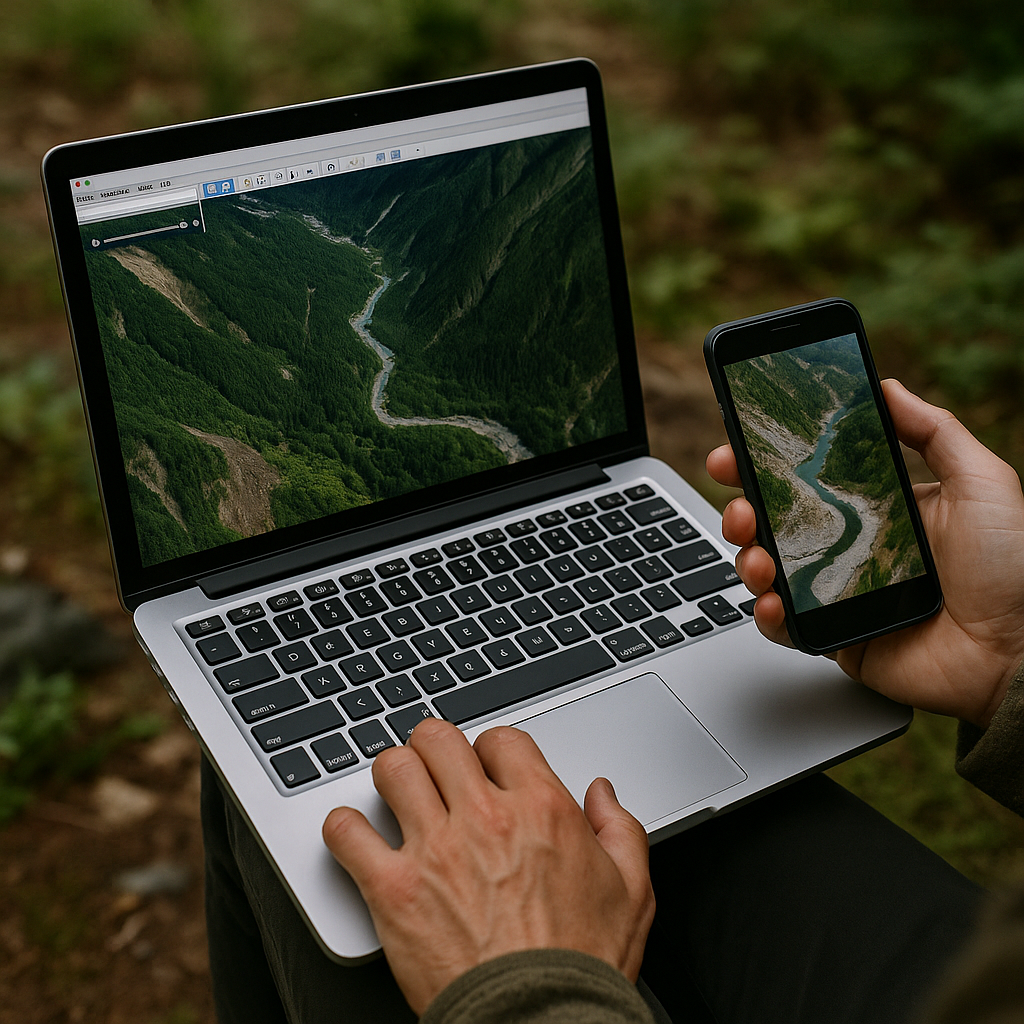
Satellite and aerial imagery can be wildly out of sync with reality, especially where a road washes out, a bridge disappears, a burn scar rearranges the drainage, or a new spur road is cut in. In Google Earth Pro, I click the historical imagery slider and scrub back and forth until I see obvious landmarks change: a clear-cut edge, a river braid, a talus fan, even the color of a gravel bar. If the hot springs approach relies on a road end or a creek crossing, I want the newest frame that still has decent resolution. Then I cross-check with another source, because one provider's "fresh" tile can still be years old. The free Sentinel-2 layer in apps like Gaia can look mushy, but it's current enough to tell me if a valley floor is bright with lingering snow or if a recent fire turned the whole slope into gray toothpicks.
For remote volcanic hot springs, the failure occurs when you hike to where the map says the access point is, only to find it is gone. If the imagery date is stale, I plan a conservative start time, and I build an alternate parking spot into my route notes so I'm not improvising in the dark. I also screenshot the imagery date and the road end, because once you're off service, you won't remember which tile you trusted. This isn't paranoia. It's just how you avoid burning your whole day.
Use Satellite Imagery to Spot Snow and Difficult Terrain
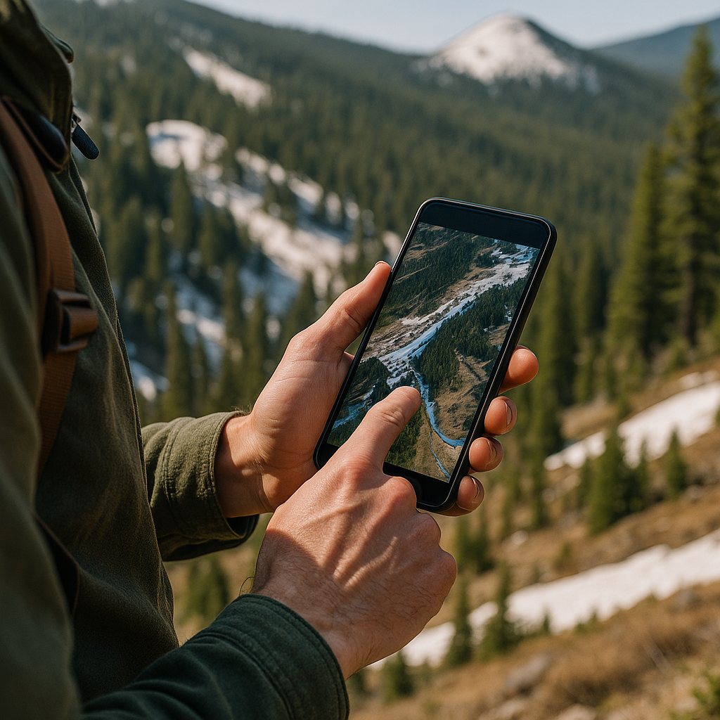
The satellite view is for calling your shot on the part of the approach that wrecks your pace. Snow hangs on in specific places: north-facing timber, narrow gullies, and the shaded side of volcanic cinder cones that look gentle on a topo. I zoom in and hunt for the last 1 to 2 miles that are most likely to be a mess, then I decide whether I'm going to route around it or accept it and pad my timing. The trick is reading the shadows like a cheap, honest slope-aspect tool. Dark, continuous shade under trees often means compacted snow underneath well into late spring. Bright, speckled patches in open ground can be nothing more than pale pumice or sun-bleached grass, so I compare them to nearby exposed rock. If the rocks have crisp edges and the pale patch looks smooth and smeared, that's usually snow.
I also look for how the creek appears in the imagery. A braided, light-colored channel with multiple bars may show where the river has shifted over time, but satellite imagery can't tell me whether a crossing is safe on the day I arrive. In a single-thread canyon stream, I'm less worried about wet feet and more worried about steep banks that force me into one exact crossing point. If I'm planning a volcanic hot-springs soak, wet feet matter because you're already carrying extra: a small towel, a dry base layer, and whatever you use for a post-soak warm-up. I don't want to add a miserable, slow trudge to the return.
When I find a suspect shaded gully or a north-side bench, I mark it as a decision waypoint in my GPS app and write a one-line note like: "If snow here, stay on west ridge in open timber." That note is worth more than a dozen dreamy pins. Satellite imagery doesn't promise conditions, but it does tell you where conditions will be stubborn. And stubborn is what steals the soak.
Use Satellite Imagery to Find the Best Access Route
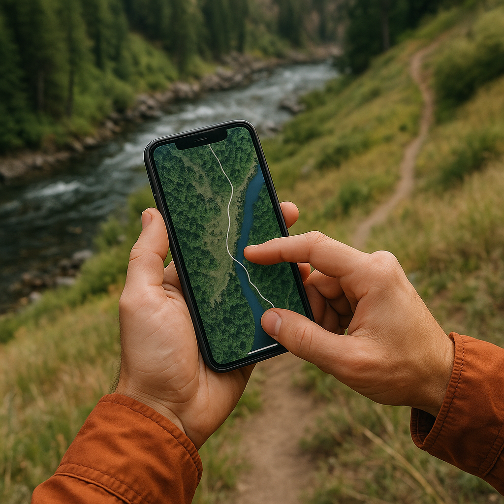
Most hot springs photos are tight, flattering, and useless for approach planning. You get a steamy pool, maybe a boot in the frame, and zero context for how people are getting in and out without shredding a bank or getting cliffed out by a river. So I use satellite imagery to trace the access line that people create, even when there isn't an official trail. I'm looking for subtle human scars: a thin, repeated break in vegetation, a lighter strip through meadow grass, a compacted line that follows the top of a river terrace instead of fighting the brush at water level.
First, I pull up the satellite layer and zoom until individual trees have shape. Then I scan parallel to the water, not toward it. People tend to walk where walking is easiest, and at volcanic hot springs, that often means a bench above the river rather than the riverbank itself. I look for where that bench pinches out, because that's where you get forced into a steep little down-and-up that isn't obvious on a phone screen. Those pinch points are also where you'll see braided social paths, little bare triangles, or a patch of exposed soil that isn't a landslide. If I can identify two pinch points, I can sketch a possible route between them, then check the current trail and access information before relying on it.
Then I cross-check with OpenStreetMap data, because sometimes someone has tagged a footpath or a bridge that never makes it into glossy guides. If OSM shows a trail and the satellite shows no scar, I assume it's faint or seasonal, and I keep my expectations low. If the satellite shows a scar and OSM is blank, I treat it as a clue and look for current local or official information before relying on it.