
Three ways I use old quads, photocopied overlays, and trail ledgers to find the mountain walks locals never put on signage.
Start with the quad's weird little margins
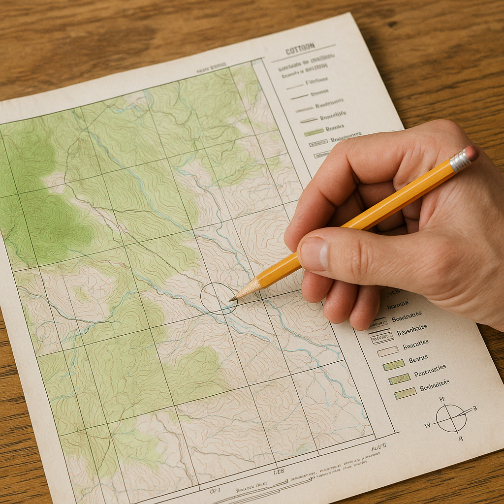
If you only look at the picture-perfect center of an old USGS 7.5-minute quad, you miss the part that behaves like a confession. The margins. That's where I start when I'm trying to find a mountain town's older routes, including lines that may still leave traces on the landscape even if they no longer appear on current visitor maps. I look at the edition year and revision information first because it helps me place the map in time and see what features may predate later development or road changes. Then I scan the legend for the exact line styles used on that sheet. Older quads may use trail and road symbols differently from modern US Topos, so I check the symbol guide appropriate to that map's era, and that matters when you're standing in duff trying to decide if that narrow bench is a route or just a deer habit.
Here's the practical move: I pull two versions of the same quad if I can, even if one is a crummy scan. An older print plus a newer revision lets you spot what disappeared. A trail line that disappears from a later edition is a lead, but not proof that the tread still exists. The change may reflect real-world abandonment, newer source data, or differences in how the map was compiled. I mark those with a pencil circle right on a paper copy, then I cross-check with slope: if the contour lines are stacked like a barcode, I don't get romantic about “historic” anything. If it's a sane grade, I dig deeper. If I'm doing compass work, I check the map's declination diagram but also look up the current magnetic declination, because the value printed on an old quad may no longer be accurate. I learned that the hard way when a trail line and my bearing kept disagreeing by just enough to make me feel cursed.
Photocopy overlays beat squinting at a screen
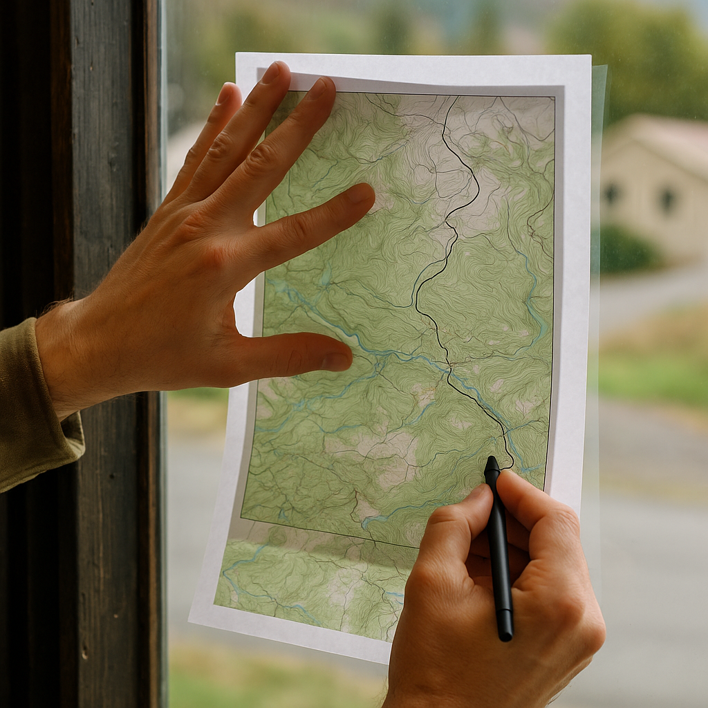
I know the instinct is to load everything into an app and pinch-zoom your way to insight. When I'm chasing an old trail in a mountain town, I go the opposite direction: I print. Not a poster, just two letter-size chunks that cover the corridor I care about. One is the older topo or a historic sheet from an archive catalog. The other is the most current topo I can find. Then I do the least glamorous thing in travel: I make a photocopy overlay. If the scales match, great. If they don't, I print them to the same scale (most PDF viewers will let you set a percentage). I tape the corners so they don't drift, hold them up to a window, and trace only the features that matter: trail lines, bridges, switchbacks, any named pass or saddle, and water crossings. I do not trace every contour. You'll go cross-eyed and hate me.
The overlay can quickly highlight differences between the old and newer maps, such as changed trail alignments, roads, crossings, or stream courses that deserve a closer look. In one town in Colorado, this method showed me an older foot route that hugged the sunny side of a canyon while the modern trail stayed lower in shade. On paper, it looked like a minor fork. On the ground, it was the difference between walking on dry granite and postholing in spring mush.
Two details make this work, rather than turning into an arts-and-crafts afternoon. First, use a thin pen for your trace, not a marker. You want precision when you're aligning a switchback stack. Second, put a north arrow on every sheet you print, even if the original has one. It keeps you from accidentally turning pages when you're tired, and your picnic table is slanted. Once I have the overlay, I take a photo of the stack with my phone so I can reference it on the trail without pulling out tape and paper in the wind. It's not fancy. It's just faster than arguing with yourself about whether that faint dotted line is a trail, a boundary, or a scanning artifact.
Use old trail ledgers like a search index, not a storybook
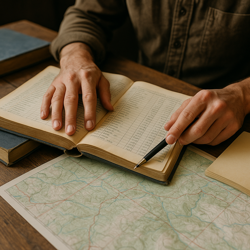
Cartographic archives are full of trail club yearbooks, ranger district reports, and guidelets that read like somebody's patient weekend hobby. I love them, but I don't read them straight through. I treat them like an index to names that may have shifted, split, or vanished. The trick is to harvest nouns. Old ledgers will mention a “toll road,” a “miners' camp,” a spring with a family name, or a pass that now goes by something catchier for Instagram. Those names are handles you can pull on across maps.
My workflow is blunt. I open a scanned ledger and search within the PDF for “bridge,” “ford,” “saddle,” “camp,” and “divide.” If it's a print-only scan with no OCR, I skim for the parts that look like lists: mileages, route descriptions, and the boring administrative tables. Those administrative sections can contain useful mileages, route descriptions, or named landmarks. Then I make a short list of three kinds of data: (1) distances between features, (2) direction words (north fork, left-hand canyon, upper basin), and (3) any warning that sounds like it was written by someone who had to get a horse through there. Horses and wagons were picky. A historic horse or wagon route can hint at how the route was engineered, but it says little about its present condition.
Once I've got those nouns and distances, I go back to the paper topo and look for the ghost names. Sometimes the name is still there as a tiny label on a ridge. Sometimes it's gone, but the shape matches: a saddle at roughly the mileage described, a creek junction that fits the “north fork” clue, a bench where a camp would make sense. This is also where I stop trusting vibes and start checking current access. Historic doesn't mean legal, open, or safe. Before I set foot on anything that looks like a forgotten line, I check the relevant land manager's site for closures and right-of-way notes, and I don't treat an old printed route as permission. But as a way to get beyond the main drag and into the parts of a mountain town that still feel like working terrain, those ledgers are gold. They don't tell you what to do. They tell you what existed, and where to start looking.