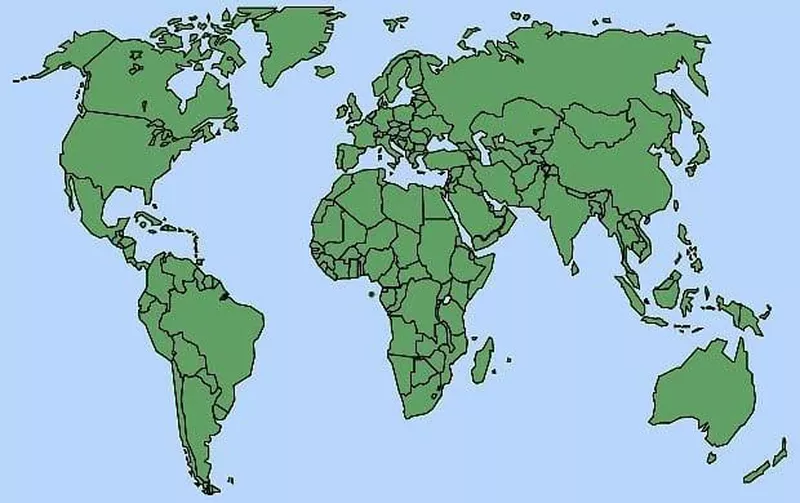
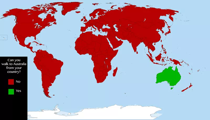
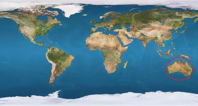
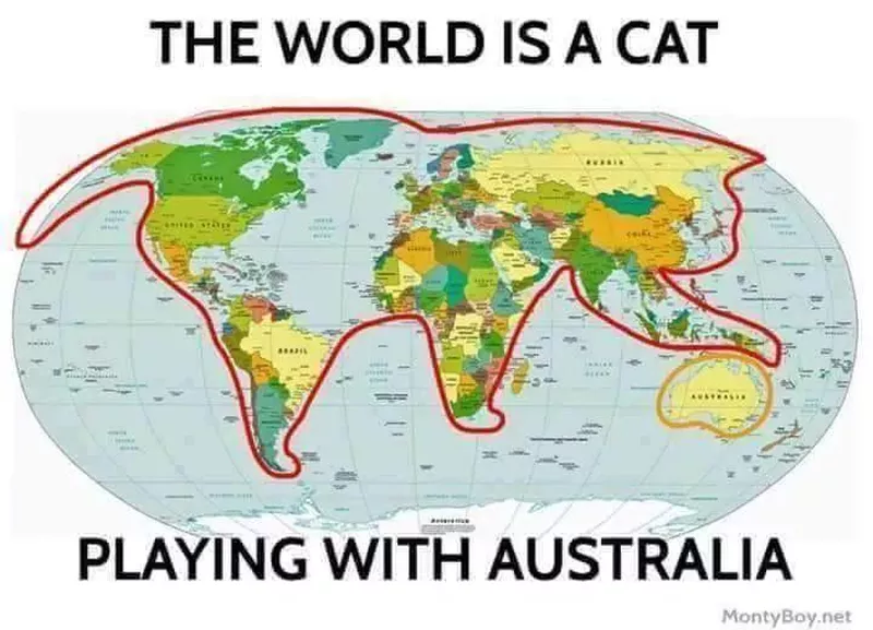
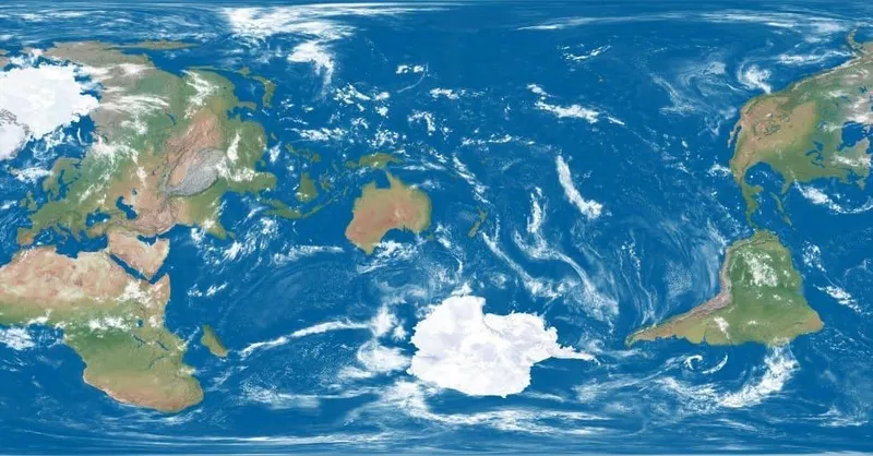
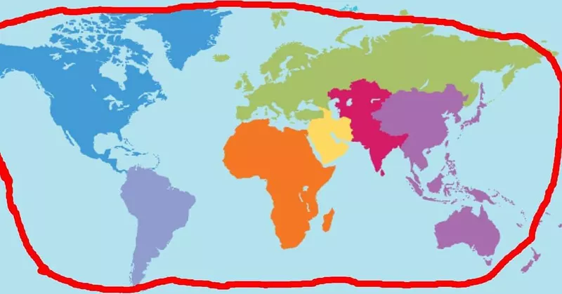
Have you ever caught yourself looking at a map for longer than five minutes? No matter how many times we look at one, it’s still mind-blowing how far away Australia is from, well, everything.
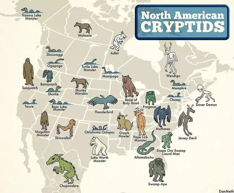
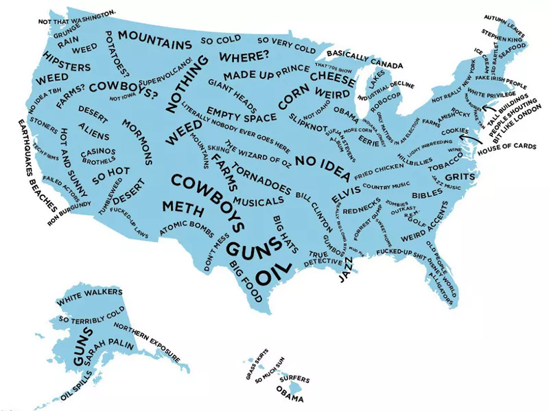
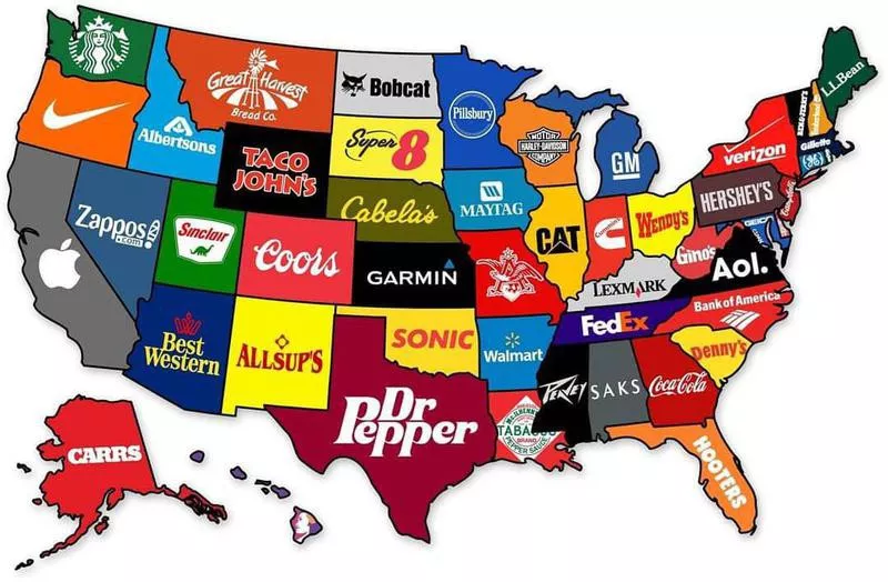
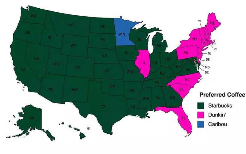
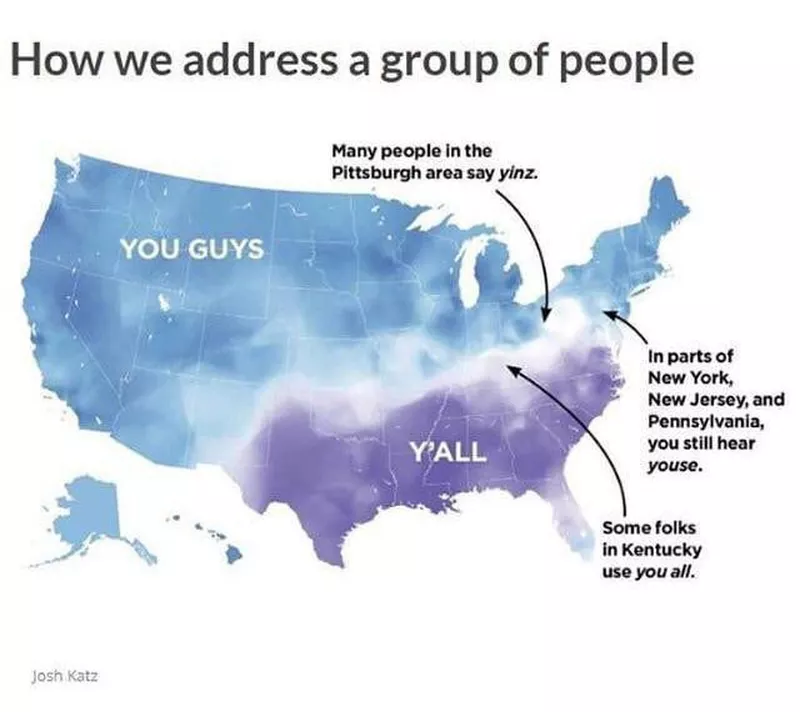
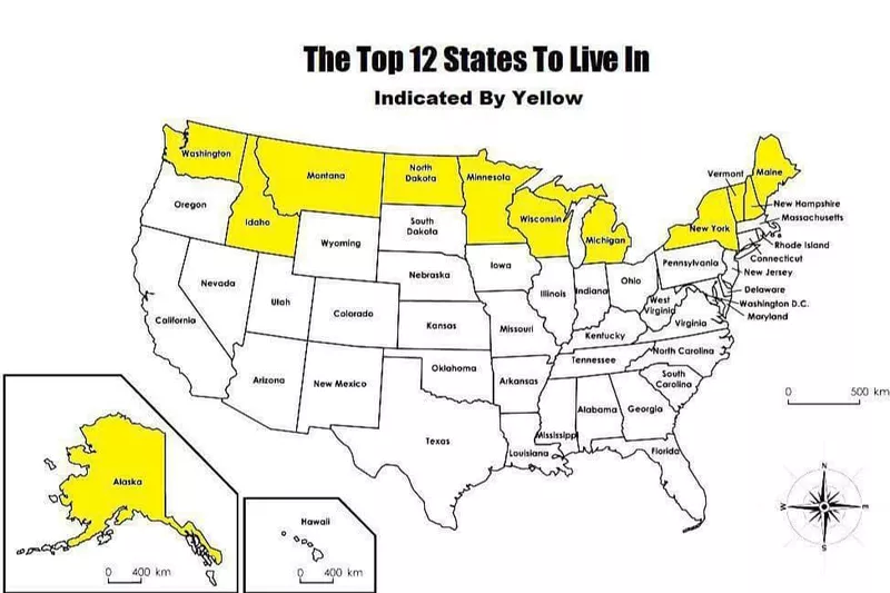
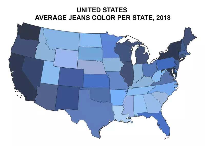
Maps are freaking cool, and you can get super creative with them. Not only do they provide geographical measurements but also ways to learn about different populations. For instance, did you know that people in Ireland spend the most money on booze? How about the fact that pediatricians have the highest-paying job in Mississippi? Yeah, you can learn a lot from looking at a map.
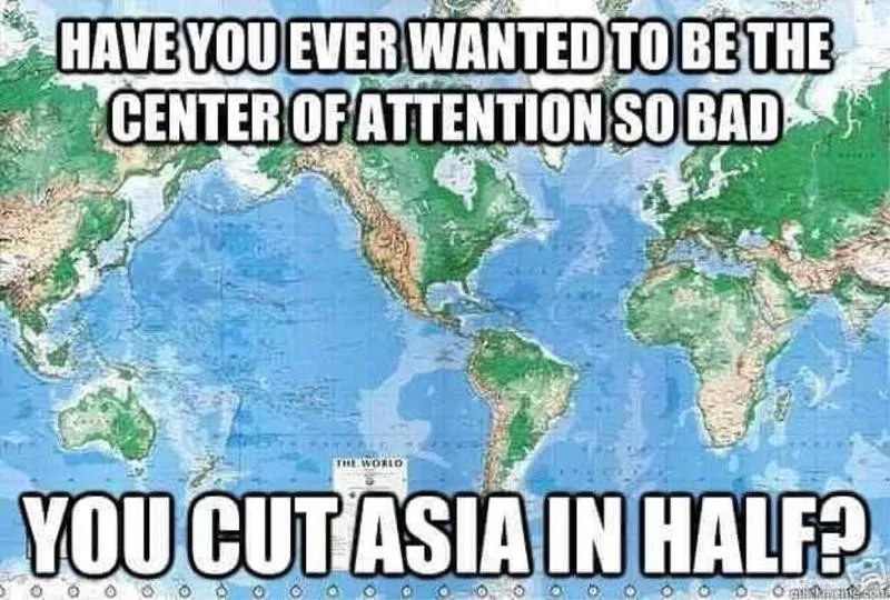
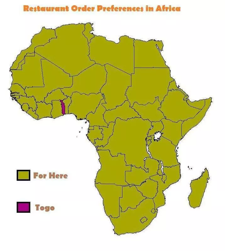
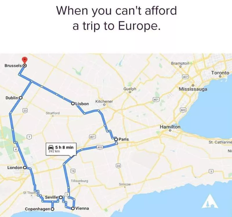
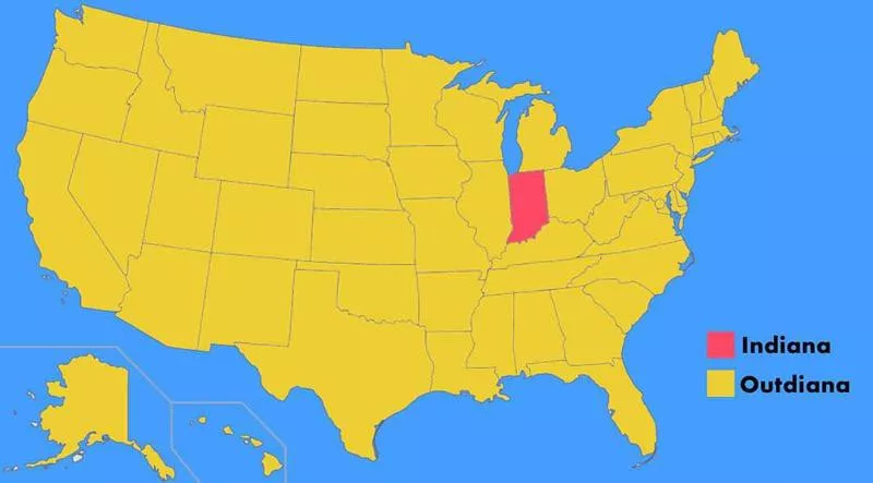
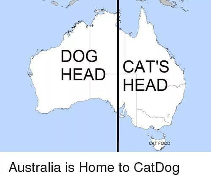
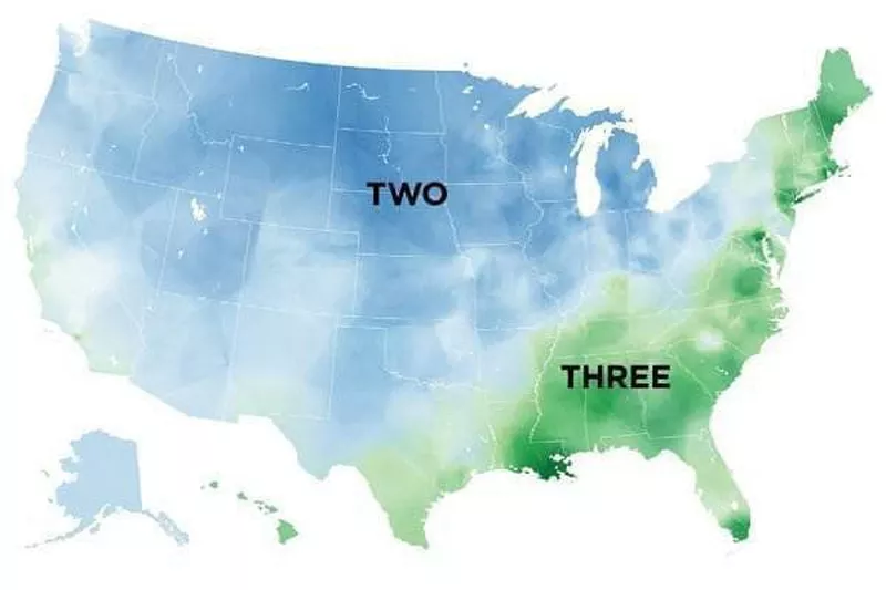
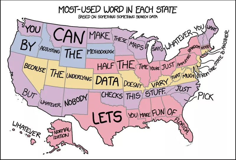
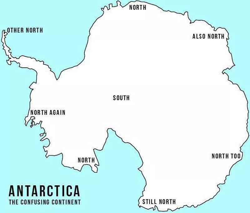
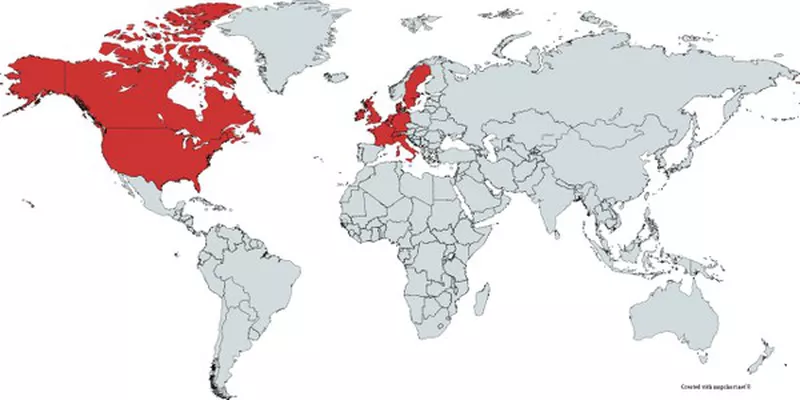
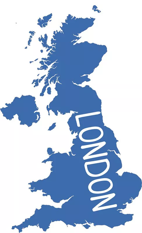
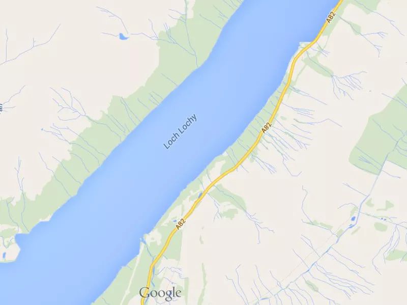
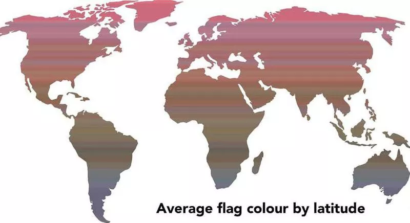
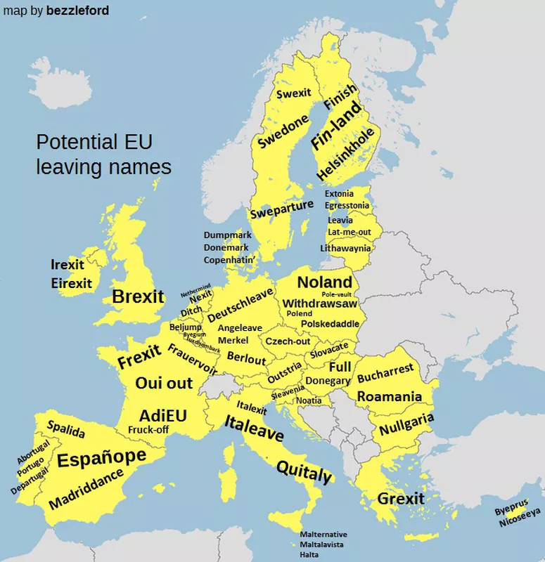
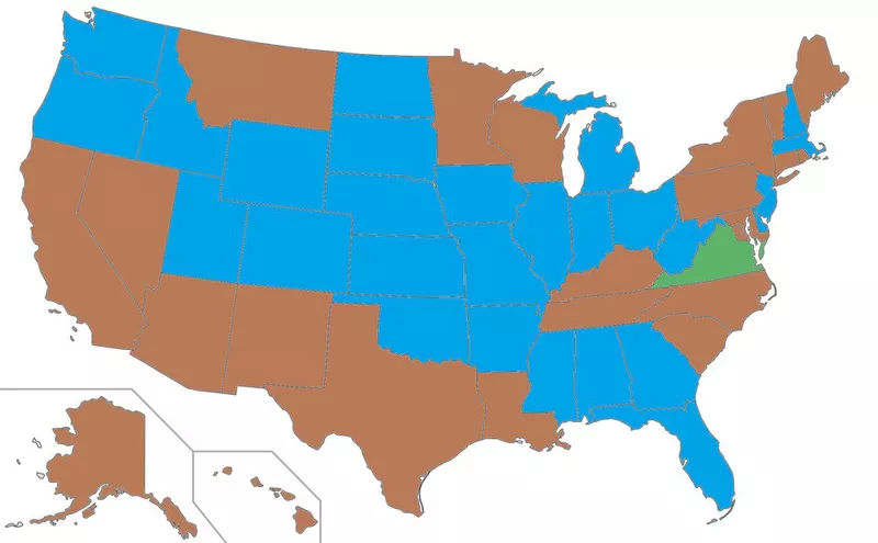
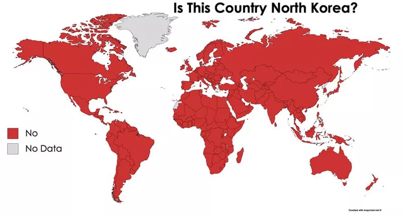
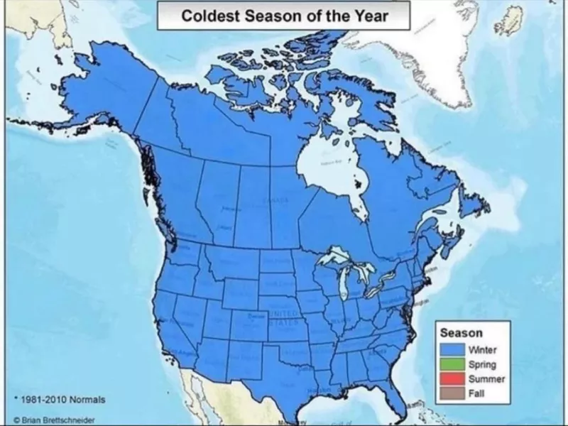
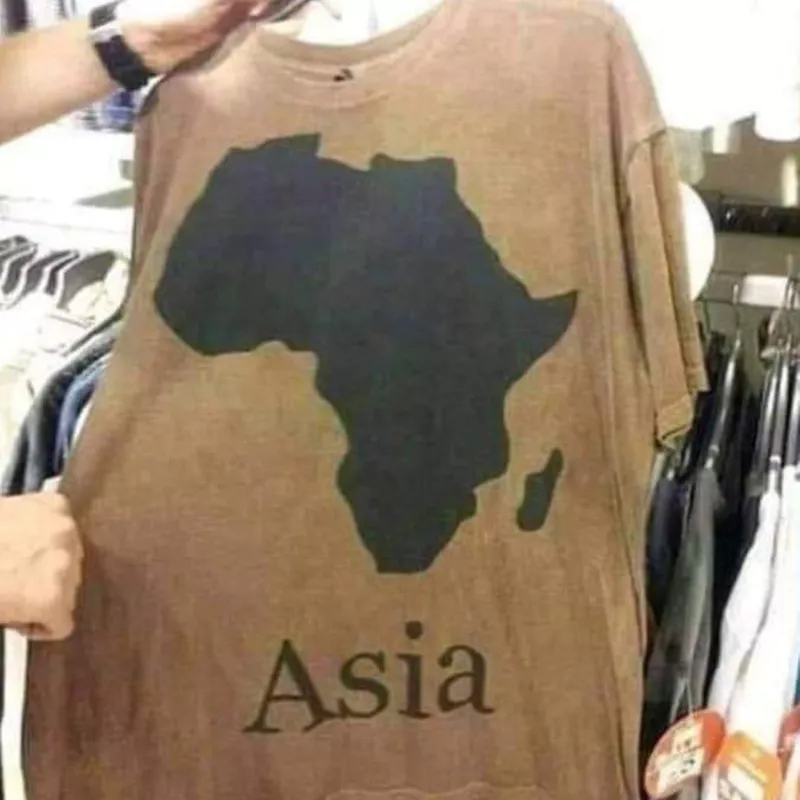
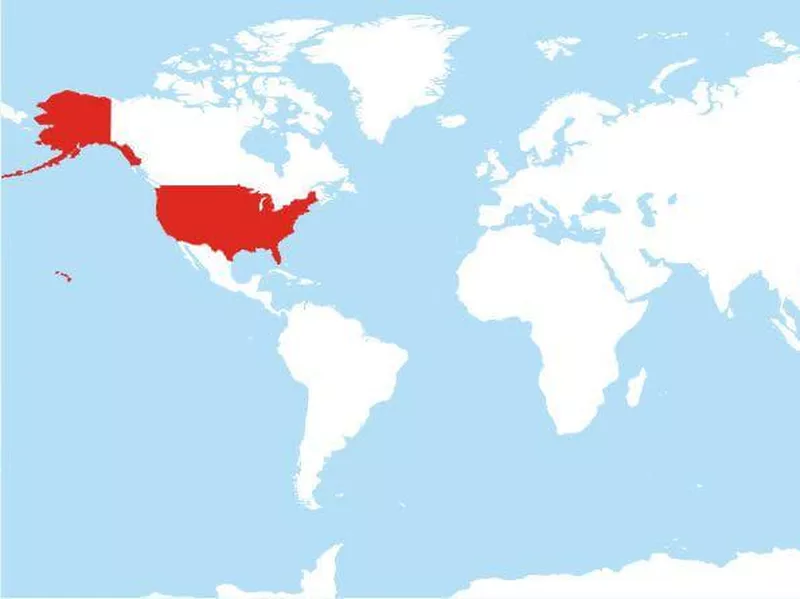
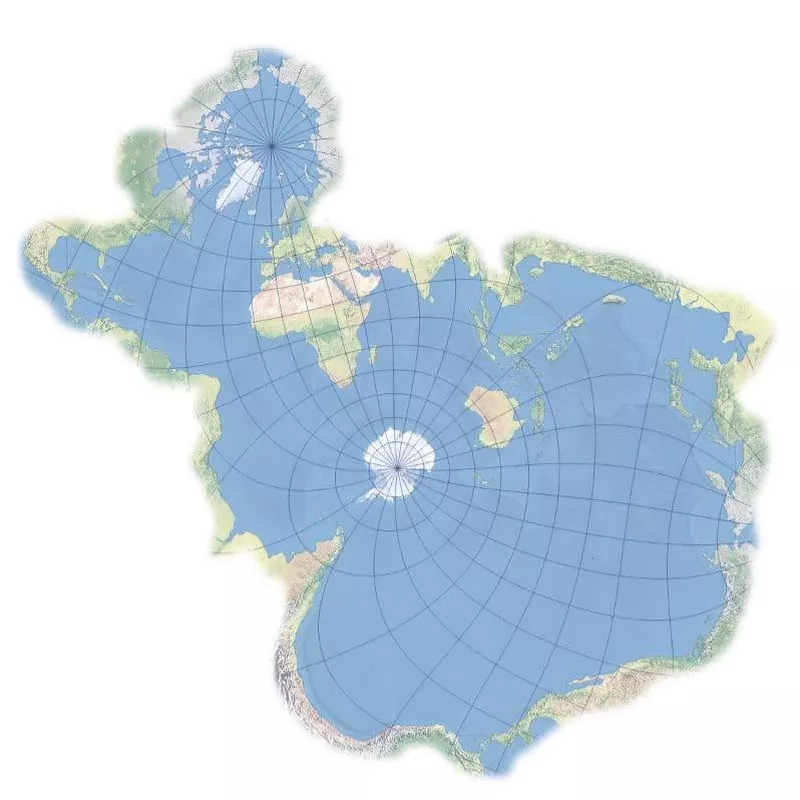
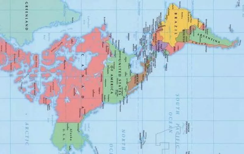
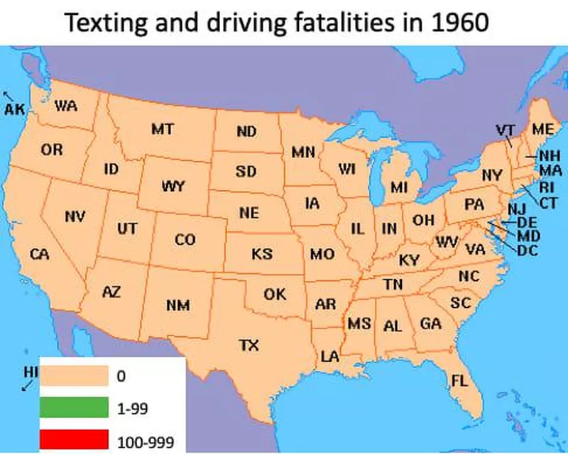
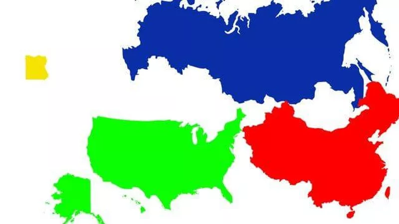
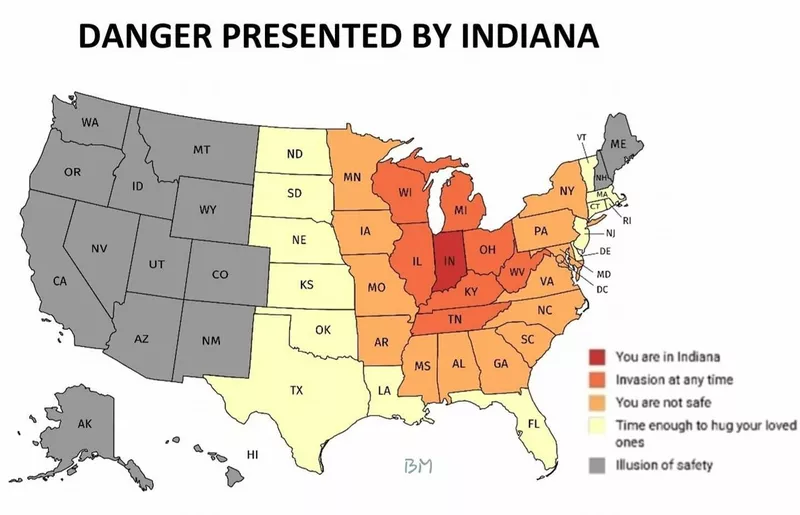
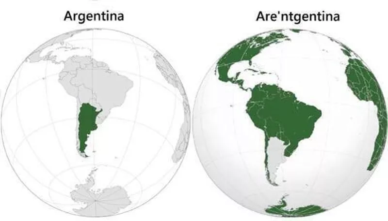
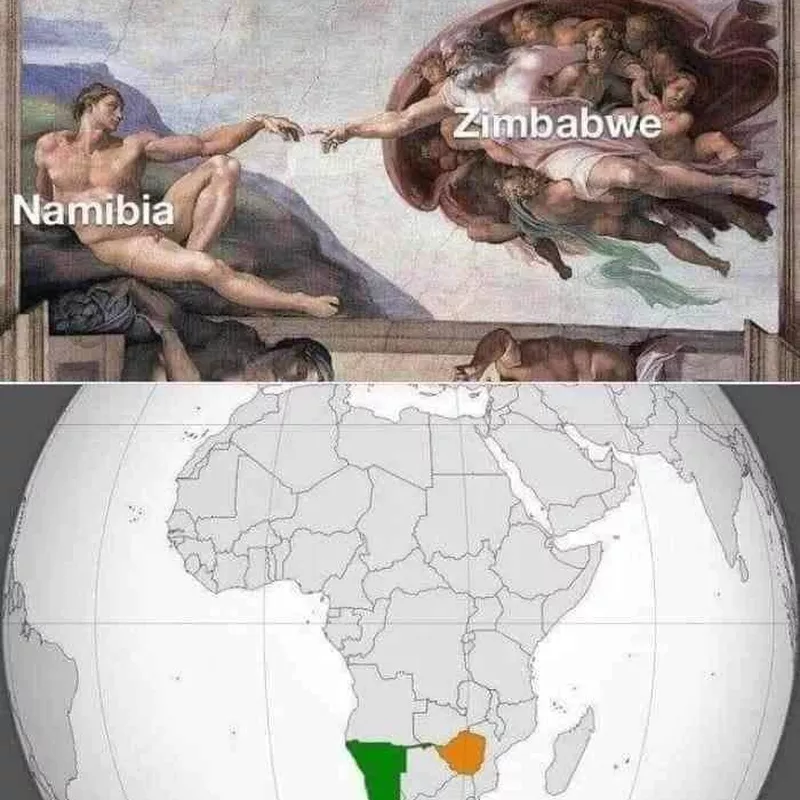
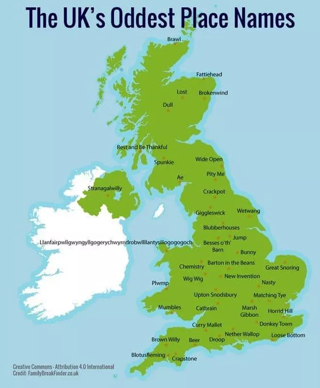
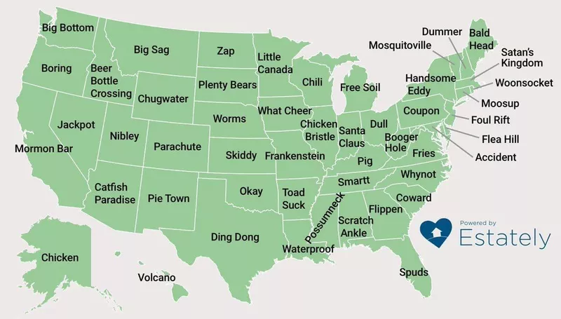
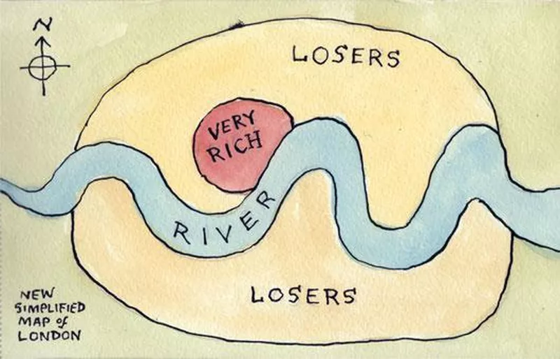
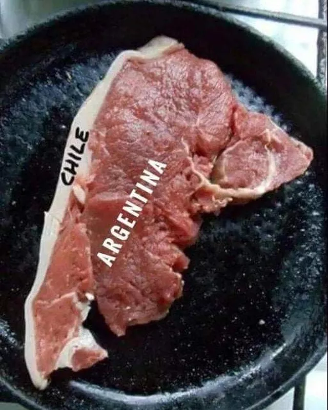
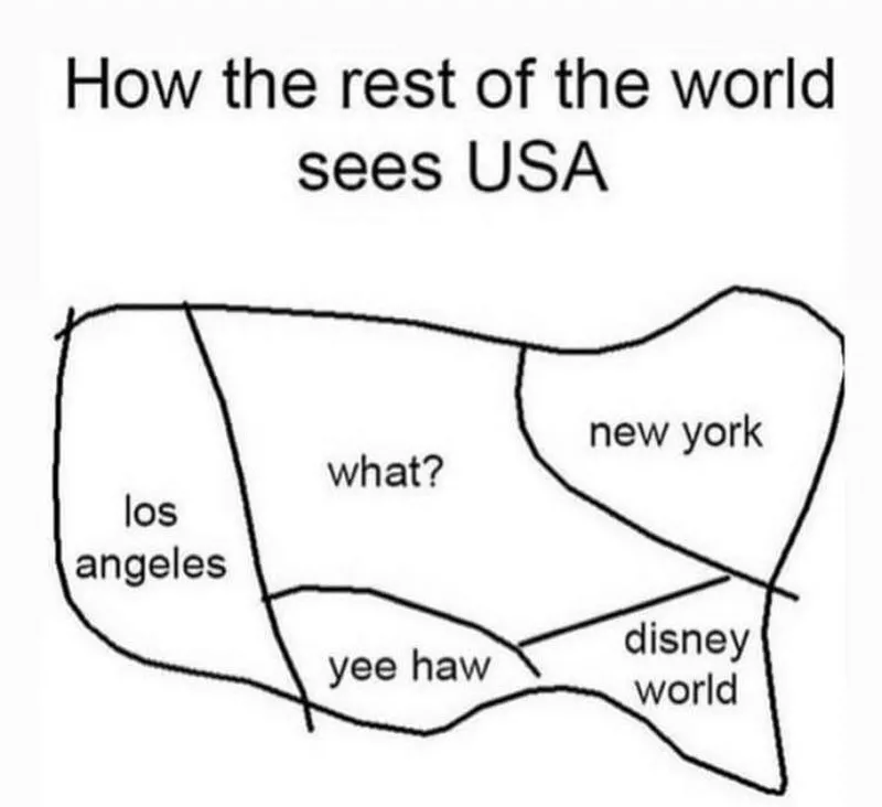
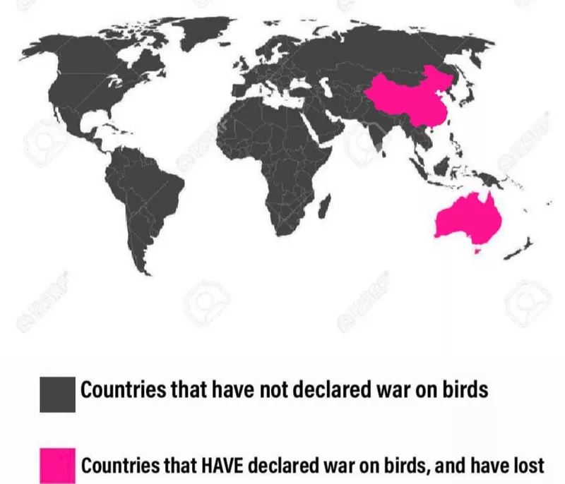
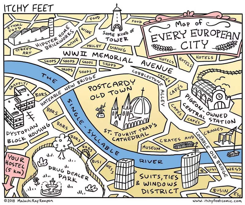
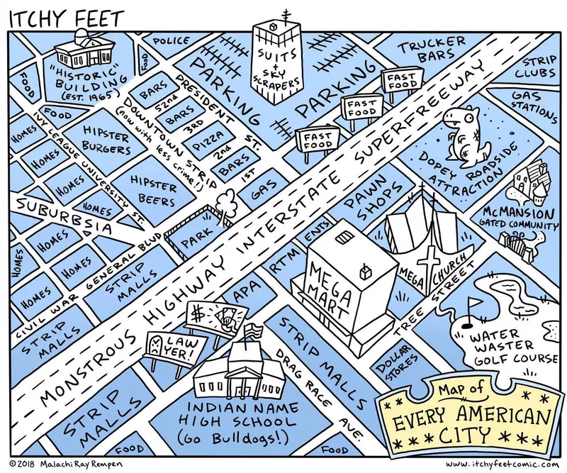
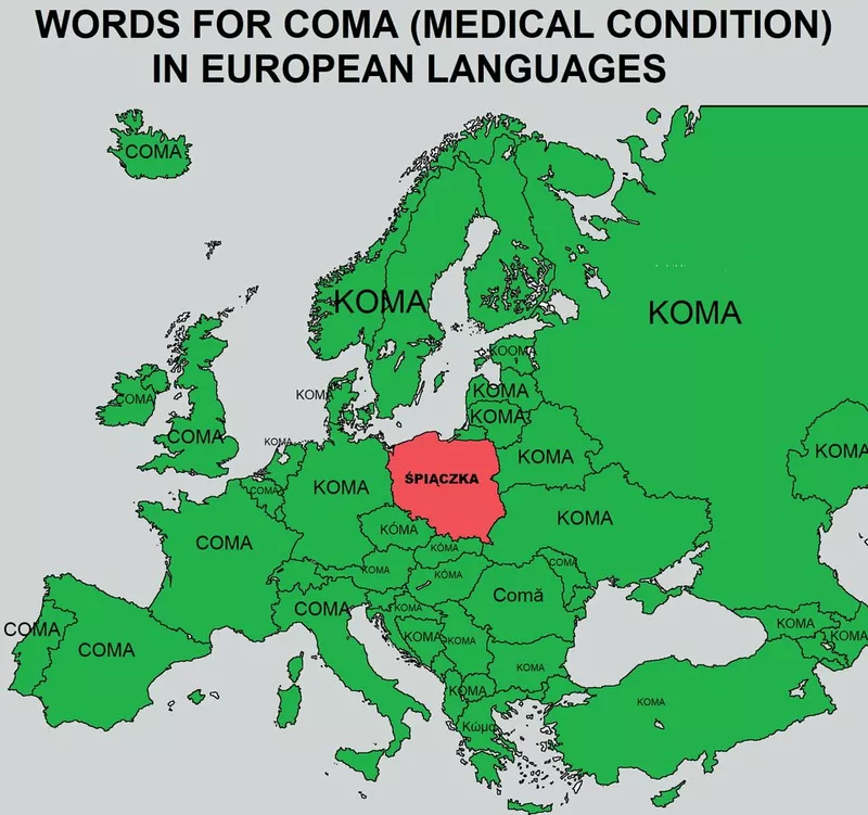
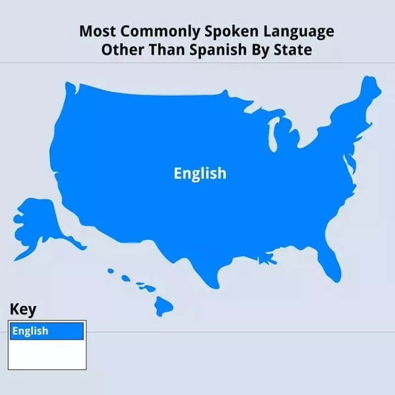
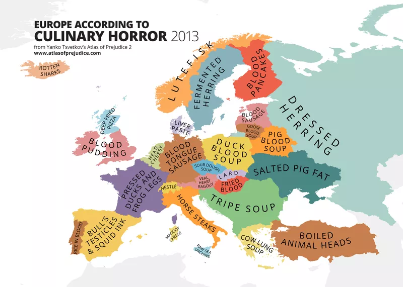
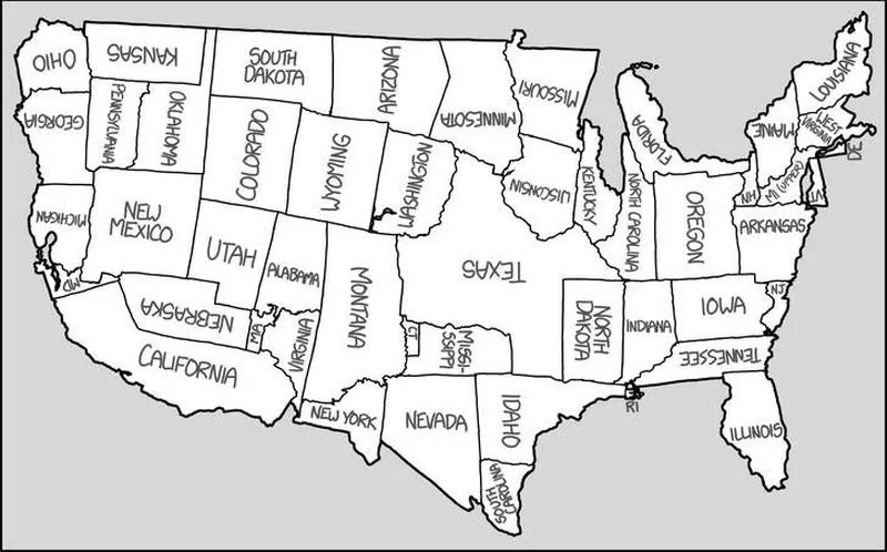
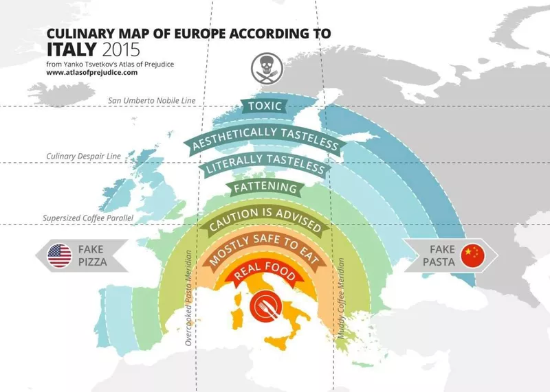
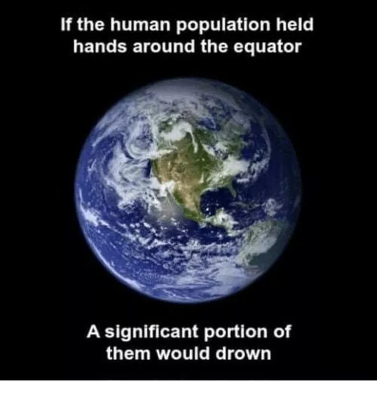
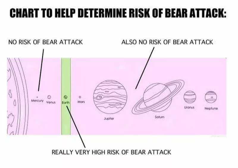
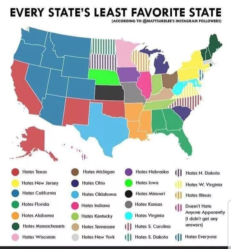
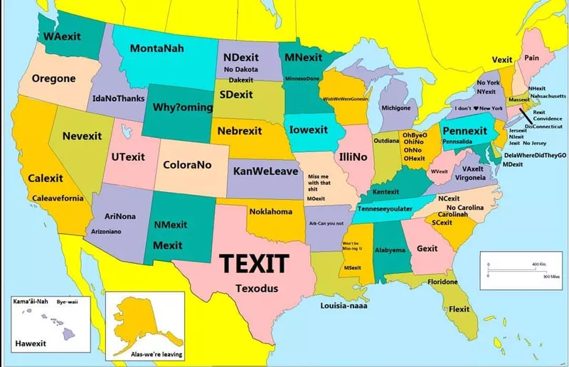
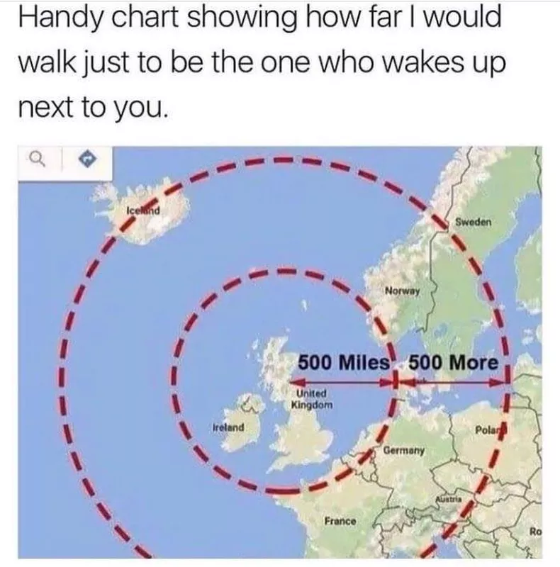
While we love to learn, we also love to laugh. There’s a ton of room for imagination when it comes to creating a map so hilarious it’s terrible. Not sure what we mean? We stumbled upon Terrible Maps on Facebook, which publishes terrible maps that offer a pinch of humor, and then rounded up the best ones for your enjoyment.