10 Most Dangerous Hiking Trails in the Grand Canyon (And Why People Get Lost)
The Grand Canyon draws nearly five million visitors each year, and about 40,000 of them hike below the rim, where several factors can turn small mistakes into serious emergencies. Summer temperatures inside the canyon often exceed 110°F, and dehydration causes far more deaths than falls. People usually get lost or stranded because they underestimate how long routes take. Hikers have also assumed water will be available or trusted that a visible trail will stay obvious all day. These 10 routes show how quickly things can go wrong.
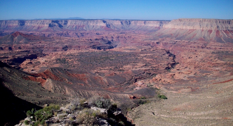
Nankoweap Trail
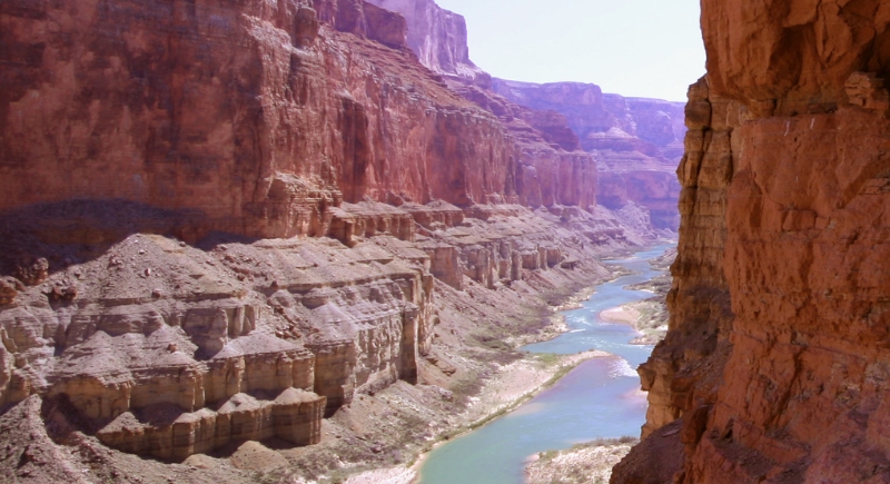
Credit: Wikimedia Commons
With a drop of more than 5,600 vertical feet from rim to river, the Nankoweap trail is one of the steepest sustained descents in the park. It’s unmaintained, so sections fade into bare rock and force constant route decisions. Shade is minimal for most of the hike, and reliable water sources are absent for long stretches.
Royal Arch Route

Credit: Wikimedia Commons
Spanning roughly 35 miles, this loop is deep in the western canyon, where rescue response times are extremely long. The Royal Arch route requires a 20-foot rappel. A ledge only about 10 inches wide creates severe exposure above a sheer drop. Most hikers who get into trouble do so because the route is far harder to follow than expected.
Bright Angel Trail
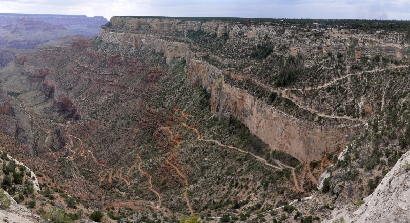
Credit: Wikimedia Commons
As a corridor trail, Bright Angel looks friendly because it is well-maintained and heavily trafficked. Temperatures near the river regularly exceed 110°F, even when the rim feels mild. The return climb takes about twice as long as the descent. This surprises many first-time hikers, with rangers reporting frequent rescues caused by dehydration and heat rather than injuries.
Cheyava Falls via Clear Creek
Credit: Wikimedia Commons
Cheyava Falls only flows after substantial rainfall, which means hikers often arrive to find dry rock instead of water. The route is far from maintained trails on the north side of the canyon. Long mileage and complex terrain demand advanced navigation skills. People get lost here because the drainage splits into multiple confusing branches.
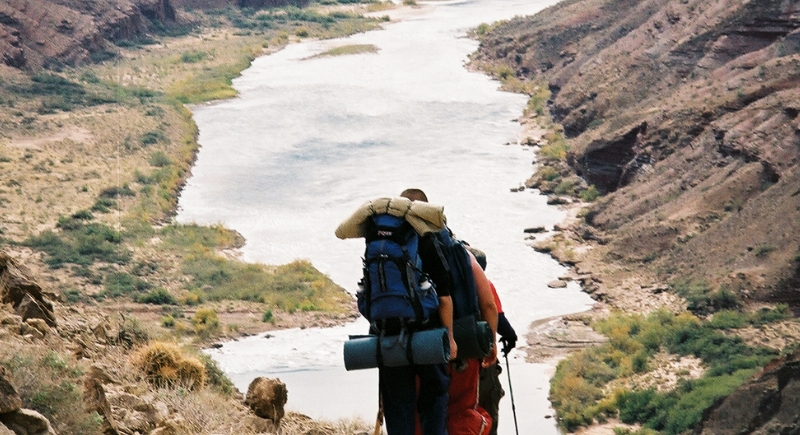
South Bass Trail
Credit: Wikimedia Commons
Access begins with a long, rough drive that already limits outside help. The South Bass trail climbs more than 4,400 feet on the way out, with limited water and no ranger presence. Many hikers cache gallons of water along the route to survive the ascent. Route-finding errors occur when fatigue sets in during the climb.
Lava Falls Route

Credit: Wikimedia Commons
There is no official hiking trail to Lava Falls, only steep, unmaintained paths used mainly by river runners. The ground is covered in loose volcanic rock that shifts underfoot. Extreme heat reflecting off dark stone increases the risk of dehydration. People get lost because landmarks look similar in every direction.
Tanner Trail

Credit: Tripadvisor
The descent to the river covers more than nine miles of exposed terrain. Sunlight hits much of the route for the entire day, even in cooler seasons. Water sources are scarce and often seasonal. Hikers frequently misjudge the return climb and run out of daylight. All this contributes to why the Tanner trail is a dangerous path to take.
Kanab Creek
Credit: Wikimedia Commons
Many rescues in Kanab Creek involve experienced hikers who underestimated the maze-like terrain. This multi-day route travels through slot canyons and dry washes that look nearly identical. Flash floods can occur far upstream after storms, even when the skies are clear overhead. One wrong turn can add days to a trip without access to water.
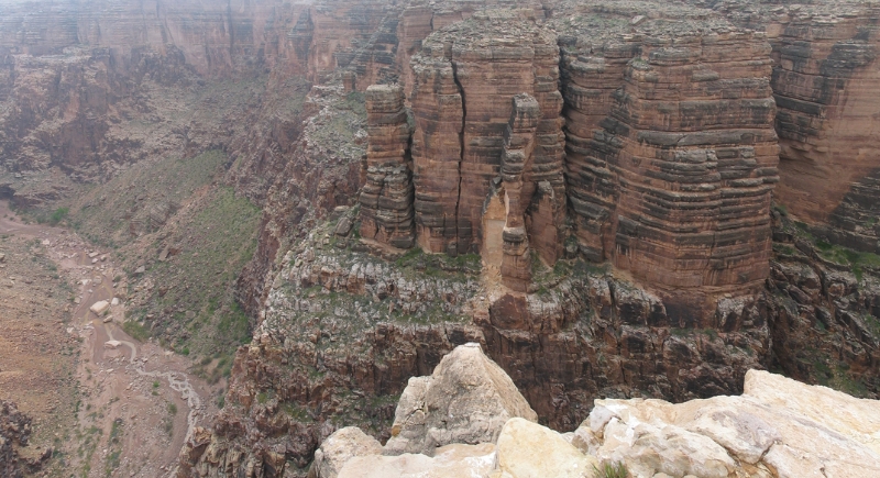
Beamer Trail
Credit: Wikimedia Commons
A slip on the Beamer Trail could result in serious injury or death due to unprotected drop-offs. The trail follows a narrow shelf above the Colorado River. It lacks consistent maintenance, so the path disappears in places. People get disoriented when the trail blends into the surrounding rock.
Little Colorado River Gorge
Credit: Wikimedia Commons
Access requires permits from the Navajo Nation and involves off-trail travel. Flash floods can arrive suddenly, triggered by storms up to 100 miles away. The turquoise water gives a false sense of safety. Casual hikers often underestimate how quickly conditions change in this side canyon.