
Use plat books, old highway layers, and a paper atlas to follow the ghost of a route, not the fastest line.
Plat books: the missing link between roads and names
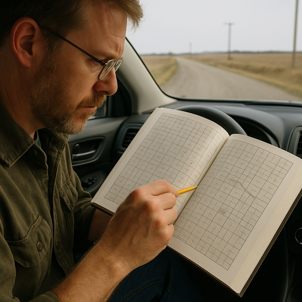
Most people think “historic route” means a famous number shield and a gift shop. I start smaller: the county plat map. If you’ve never flipped through one, it looks like farmland Tetris with tiny names stamped into each block. That’s the point. When you’re creeping along an old alignment that used to be the main road, a plat book can give you clues about why the road bends, why the town developed where it did, and where some of those local names came from.
I’ll pull a plat book (or a scanned one on a tablet) the night before and mark three things with a pencil: the original townsite blocks, any rail line or spur, and the names that repeat. Repeating names are gold. You’ll see “Henderson” on a road, then on a creek, then on a cemetery. By the time you roll into a place you’d normally blow past at 65 mph, you’re looking for that creek crossing and the little white fence on the hill because you already know it’s the Henderson family plot.
On the drive, I don’t use it like a turn-by-turn tool. It’s more like a translator. That gravel cut-through that feels pointless on a screen? On the plat, it may be the straight shot between two early farmsteads, while waterways, rail lines, property boundaries, or later road construction can offer clues about why today's route looks different. I’ve had trips where the best “stop” was a ten-minute pause at a bridge because the plat book showed an abandoned school name on the next section line, and sure enough, there was the foundation and a lone cottonwood.
One practical tip: plat books are busy. Don’t try to absorb everything. Pick one thread per county, follow it for an hour, then let it go. If you chase every label, you’ll never get out of the car, and the whole point of going slow is to keep finding reasons to step out.
Old highway overlays: finding the road that got bypassed
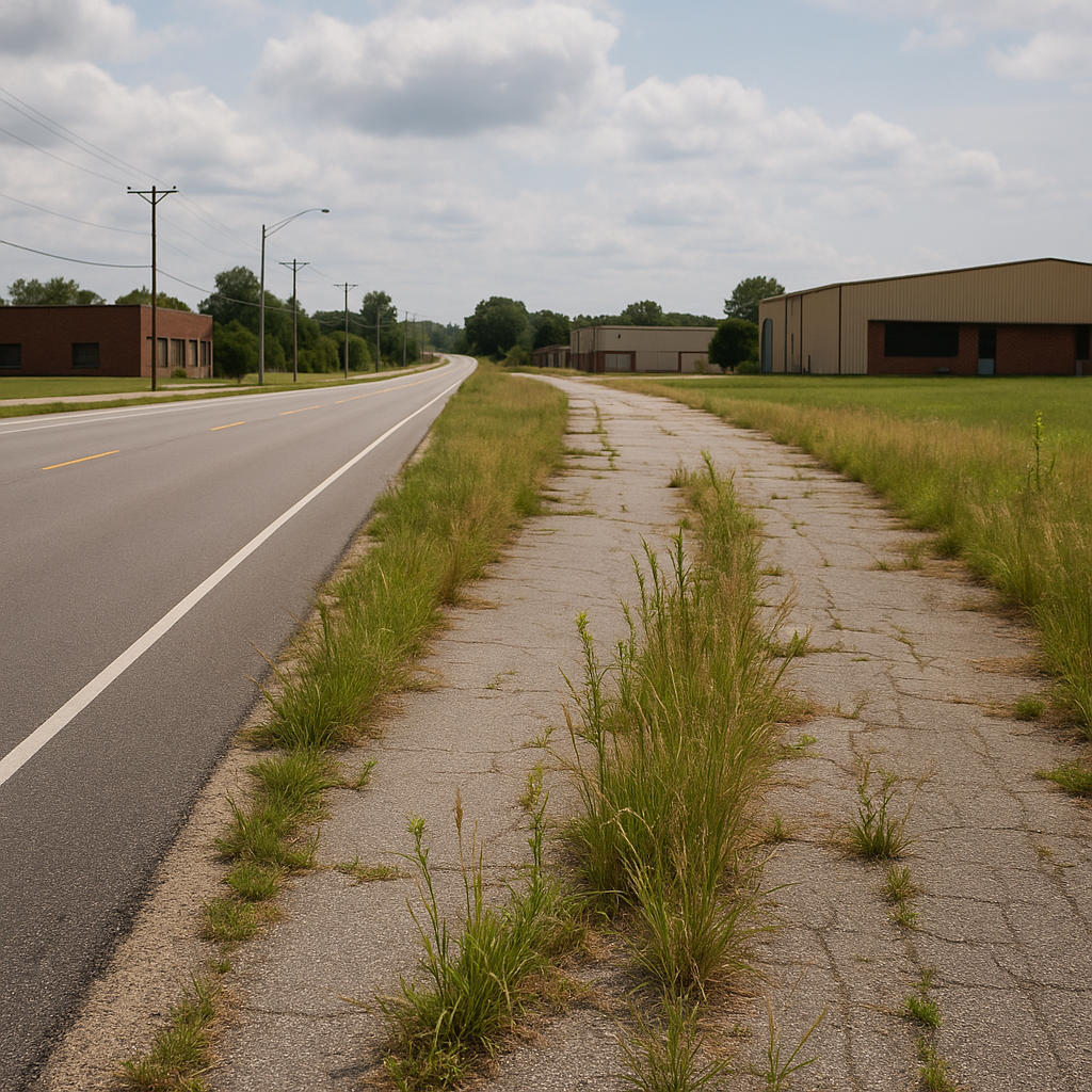
There’s a specific kind of satisfaction in catching the exact moment a route stopped being “the road” and became a frontage lane with weeds pushing through the shoulder. You can feel it in the pavement: the stripe disappears, the intersections get overbuilt for the traffic they no longer see, and the buildings turn their backs. The trick is to look at an older highway layer before you leave, then drive with that older line in your head like a second GPS voice.
I’ll usually start on OpenHistoricalMap to get a rough sense of where the earlier alignment ran, then cross-check with a USGS topo scan for the same area. I’m not trying to be precious about dates. I just want to see the older geometry: the pre-bypass curve that hugged the river, the older bridge crossing, the town’s original main drag before it got amputated by an interchange. Once you spot that geometry, you’ll see it everywhere on the ground. The “mystery” diagonal street in a Midwestern grid. The out-of-place gas station with a big apron and no customers. The block of storefronts facing the wrong direction.
My favorite part of using historic layers isn’t the history lecture stuff. It’s how it changes your pacing. If I know there’s an old bridge two miles off the current highway, I stop treating that two miles as a nuisance. It’s the point. I’ll set my navigation to the bridge, not the town, and I’ll do it even if it adds 18 minutes. That’s not bravery. That’s choosing an interesting surface over a sterile one.
And yes, sometimes the old line is gone. It’ll be a farm field now, or a gated private lane, or it’ll end at a washout. That’s fine. The win isn’t trespassing for a perfect reenactment. The win is noticing what replaced it: perhaps a straighter cut, a newer bridge, or a road shifted farther from the river. After a while, you start noticing where the road changed and where pieces of the older route are still visible.
Paper atlas check: the moment you stop trusting the blue line
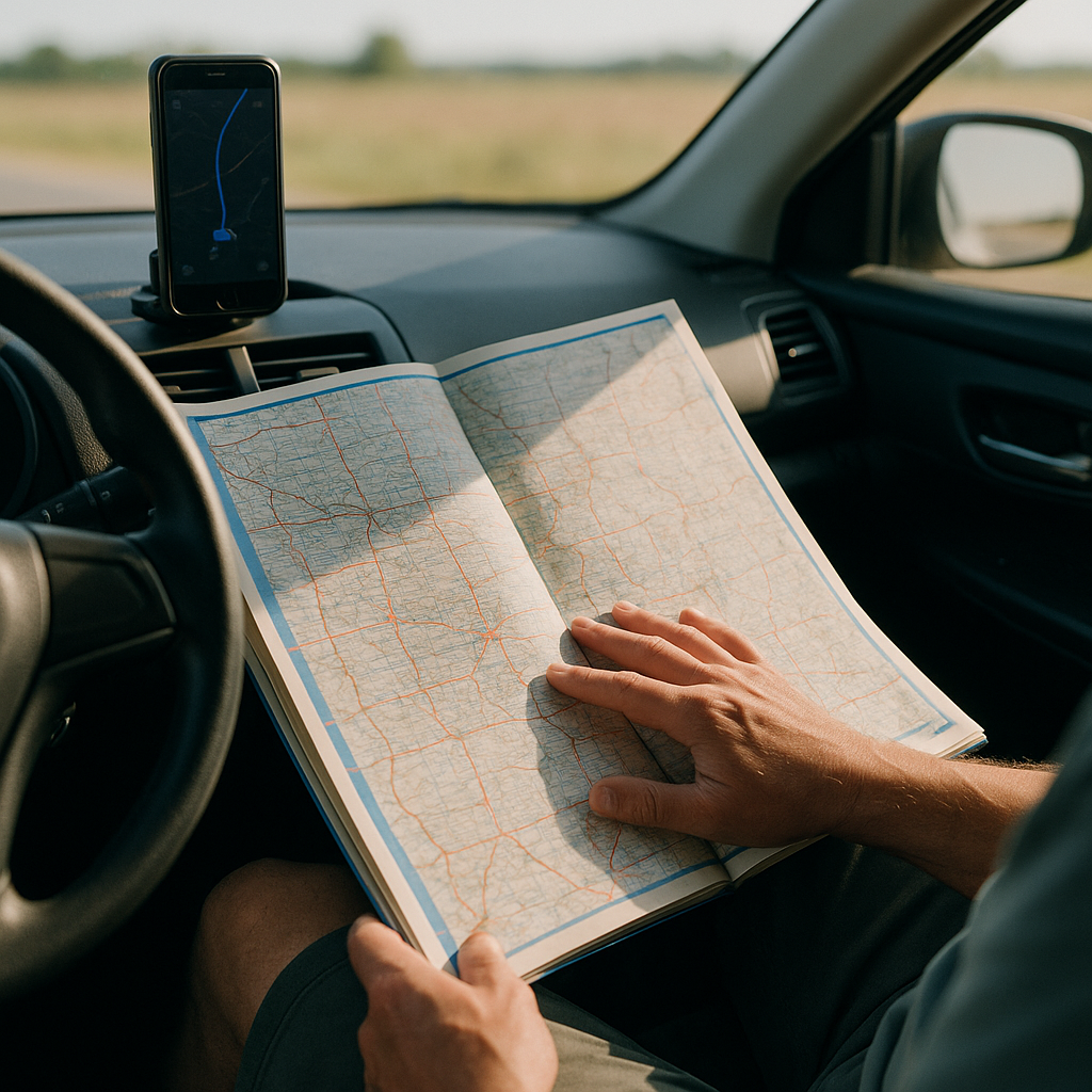
I love navigation apps, but they’re built to erase the exact texture you’re chasing on a slow road trip. When you’re trying to trace a historic corridor, the “best” route is often the least informative one. This is where a paper atlas earns its seat in the passenger footwell, even if you still keep your phone on the dash.
Here’s what I do at a rest area or a gas station table: I open the atlas to the state page and find the chunk of highway I’m paralleling, then I look for the old road’s telltales. Business loops that don’t quite reconnect. Two-lane roads that run arrow-straight for ten miles, then suddenly kink into a town. County roads that shadow an interstate and then peel off like they’re bored. Those shapes can be clues to fragments of an earlier through-route, and the atlas is better at showing the whole skeleton than any zoomed-in screen.
Once I see the skeleton, I make a simple rule for the next hour: stay on the older line unless it forces me into something sketchy (seasonal closures, obvious private property, or a road that’s clearly not maintained). That rule may sound small, but it can change your day. You end up rolling through county seats instead of skipping them. You stop at the museum that’s in the original courthouse square because you’re already there, not because it’s a “top attraction.” You start noticing the old motel court with doors that face the street, the kind built for drivers when the main road was still two lanes.
The atlas also keeps you honest about distance. On a screen, everything feels like a quick hop. On paper, you see that the “shortcut” is 47 miles of nothing with one fuel option. That’s when I top off, grab water, and commit to the slow stretch with a clear head. The best part is the quiet confidence it gives you. If you miss a turn and end up on the wrong county road, you’re not lost. You’re just one page flip away from understanding where that road fits in the bigger, older pattern.