Bizarre Appalachian Trail Facts That Will Stick With You
The Appalachian Trail covers over 2,000 miles and passes through 14 states. It’s known for rugged terrain and long days on foot, but the deeper you look, the more odd history you’ll find. A public elephant hanging, ponies that roam the mountains, and stretches of trail built over toxic land aren’t the stories most hikers expect. But they’re part of the trail all the same.
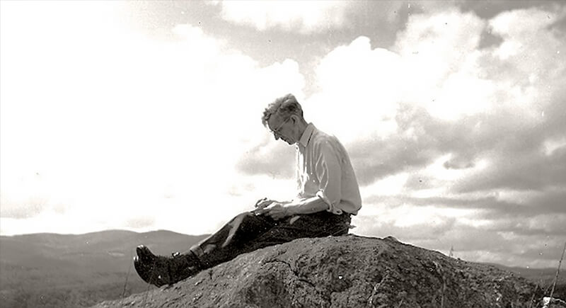
The Trail Was Inspired by a Tree-Climbing Daydream
Credit: appalachianhistory
Benton MacKaye climbed a tree on Stratton Mountain in Vermont and started thinking. From that quiet spot, he pictured a footpath running through the Appalachian mountains. He wasn’t a builder and never laid a single mile of trail, but the idea caught on. What started as a personal escape from city life turned into one of the most iconic hikes in the country.
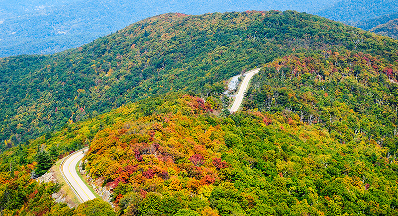
Its Route Once Followed a Scenic Highway
Credit: iStockphoto
Before hikers crunched gravel through Shenandoah National Park, the Appalachian Trail was routed along what is now Skyline Drive. The 105-mile road was part of a contentious debate: Myron Avery wanted it built, while MacKaye saw it as a betrayal of his wilderness ideals. The road won, and the trail was eventually rerouted.
A Town on the Trail Once Hung an Elephant
Credit: flickr
It sounds made up, but the town of Erwin, Tennessee, really did hang an elephant. In 1916, after a circus elephant named Mary killed her handler, she was sentenced to death by public execution. A crane hoisted her up in front of a crowd of thousands. Today, the AT passes right through this quiet town, though most hikers are blissfully unaware of the strange slice of justice carried out here a century ago.
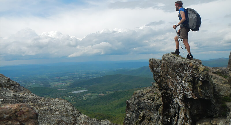
Climbing Everest Once Isn’t Enough
Credit: Facebook
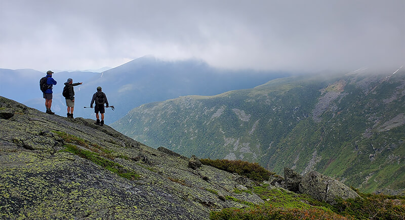
The Appalachian Trail doesn’t look like a mountain climb, but it adds up. By the time a hiker reaches Maine, they’ve gained and lost more than 500,000 feet of elevation. That’s about the same as climbing Mount Everest sixteen times. Most don’t notice it day to day, but their legs do.
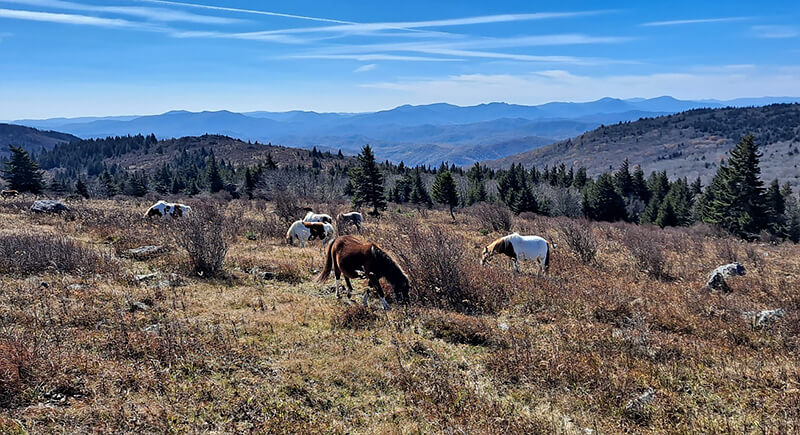
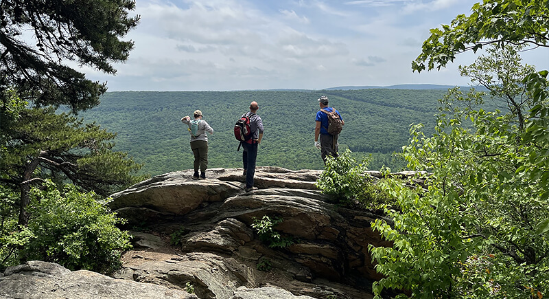
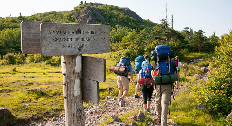
You’ll Find Ponies in Virginia
Credit: Facebook
The shaggy ponies of Grayson Highlands look like they galloped straight out of a storybook, but they’re not wild in the true sense. They were introduced in the 1970s to keep the brush in check. These descendants of domesticated stock are managed twice a year, and sometimes auctioned off.
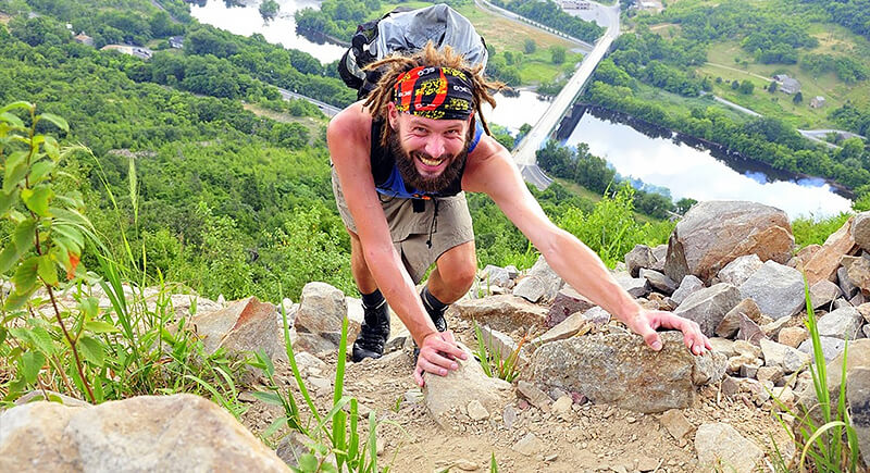
The Fastest Thru-Hike Took 41 Days
Credit: Facebook
Most hikers take five to seven months to complete the AT. Karel Sabbe, a Belgian ultrarunner, did it in just 41 days, 7 hours, and 39 minutes. Sabbe averaged over 50 miles per day with a support crew that kept him fed and rested. And no, this pace is not recommended for anyone hoping to enjoy the view.
The Trail’s Length Changes Constantly
Credit: Facebook
Ask a dozen hikers how long the AT is, and you might get a dozen different answers. And interestingly, they’d all be correct. The trail is constantly rerouted due to erosion, land rights, and conservation efforts. Though it’s typically quoted at “about 2,200 miles,” nearly 99% of the original route has been moved or rebuilt.
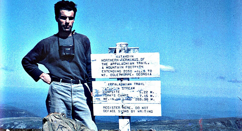
A World War II Vet Was the First to Hike It All
Credit: Facebook
In 1948, Earl Shaffer became the first person to complete a full thru-hike, walking the trail end-to-end in one go. His motivation was to “walk the Army out of his system” after serving in World War II. Shaffer returned to hike it again decades later and completed the trail at age 79.
Most Hikers Ditch Real Names
Credit: Facebook
Out on the trail, real names don’t last long. Hikers pick up nicknames—some handed out, some self-declared—that stick better than whatever’s on their license. By the time someone hits the halfway point, they’ve likely become “Moose,” “Salty,” or something stranger. Nobody asks for your real name. They ask how you got the one you’re using.
The Trail Runs Through an EPA Superfund Site
Credit: appalachiantrail
In Pennsylvania, hikers climb through the Palmerton Zinc Pile, a site contaminated by decades of smelting. Once so polluted that it killed off vegetation for miles, the area is slowly recovering. Still, some water sources remain questionable. “Metallica Spring” isn’t just a clever name.
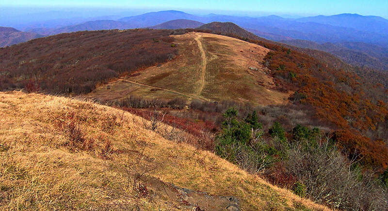
Grassy Balds in the South Are a Scientific Mystery
Credit: Wikipedia
High-elevation meadows, called “balds,” appear along the trail in the southern Appalachians like alpine crop circles. Unlike the northern tundra, these balds don’t follow any clear ecological pattern. Some scientists blame overgrazing. Others point to fire or lightning. Nobody’s quite cracked the code, but for now, they’re surreal and oddly unexplained.
Stratton Mountain Sparked Two Iconic Trails
Credit: Facebook
Stratton Mountain in Vermont holds the rare honor of inspiring not one but two legendary trails. James P. Taylor envisioned the Long Trail here in 1909. Years later, Benton MacKaye stood on the same mountain and conceptualized the Appalachian Trail. Their overlapping paths make this peak unusually influential in hiking lore.
Some Hikers Walk It Twice—Without Stopping
Credit: Facebook
A few hikers finish the Appalachian Trail and then quietly turn around to walk it all over again, from end to end in the opposite direction. It’s called a “yo-yo,” and it’s one of the rarest undertakings on the trail. The full round trip adds up to about 4,400 miles. Most people don’t attempt it, and most who do aren’t in it for recognition.
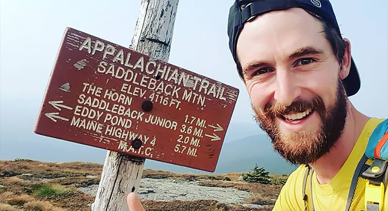
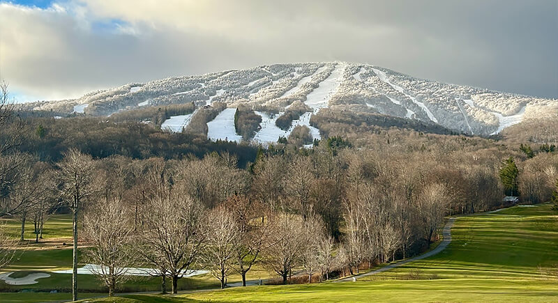
Half the States Don’t Host a High Point
Credit: Facebook
The AT crosses 14 states, but only seven bring hikers to that state’s highest peak. While it checks off major summits like Clingmans Dome and Mount Washington, in other states, the trail skirts the big climbs entirely.
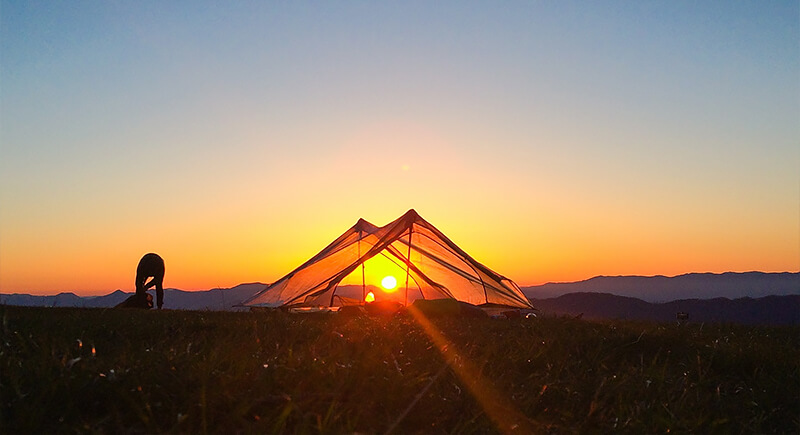
Hikers Rarely Need Tents
Credit: Facebook
Along the Appalachian Trail, more than 250 shelters offer a dry place to sleep without setting up camp. Many hikers plan their days around reaching one. They’re basic—just a roof and three walls—but after a long day on foot, they’re more than enough.