
Three battery moves I use with downloaded trail tiles: a pre-hike brightness check, pin discipline, and a no-screensaver backup plan.
Do the brightness check before you leave the parking lot
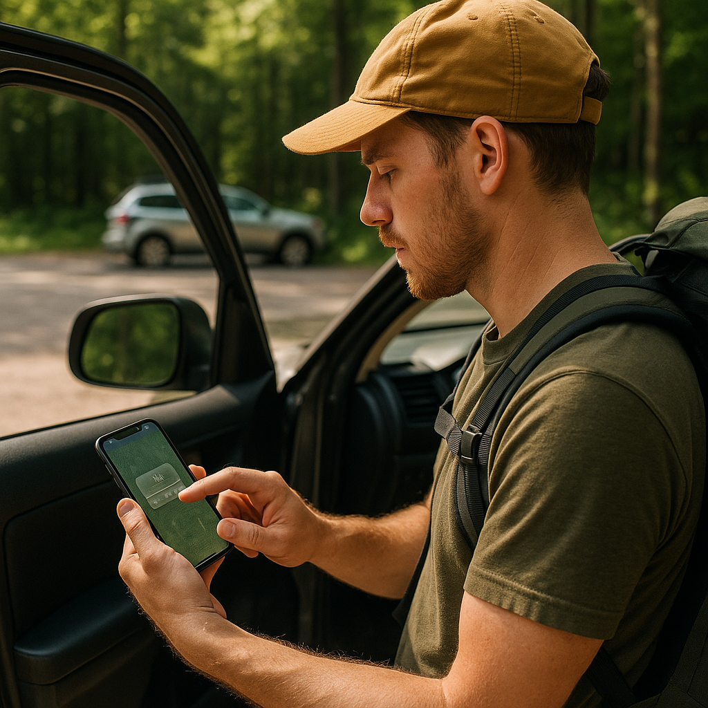
I used to start hikes the same way every time: open my downloaded topo tiles, zoom in, zoom out, admire the contour lines, then shove the phone back into my hip belt. Two hours later I'd wonder why my battery was in free fall. The map itself may not be the biggest drain. A bright screen and a phone repeatedly searching for weak cellular service can burn through battery surprisingly quickly.
My fix is embarrassingly simple, and I do it before I even lock the car: I set my screen brightness for shade, not sunlight. If you crank it to full blast at the trailhead because the lot is bright, your phone will sit there glowing like a lantern every time you check the route under tree cover. I open my mapping app, pull up the area I downloaded, and stand in the shade of the car door or a nearby tree. Then I dial brightness down until I can still read labels and a thin track line without squinting. That becomes my baseline for the day.
Two more tweaks that matter more than people think: switch off always-on display (if your phone has it) and shorten auto-lock to something like 30 seconds. On a hike, you’re constantly doing micro-checks: "Am I still on the right spur?" "Is this the junction?" Those checks don’t need a screen that stays awake in your pocket.
In areas with little or no service, I flip on airplane mode and re-enable only what I need, such as Bluetooth for a watch. I also remember that regular calls and texts will not come through until cellular service is switched back on. If you want to be sure your downloaded map is truly offline-capable, do this test in the lot: airplane mode on, app opened, pan around, zoom a couple levels. If the tiles stay crisp and the route line doesn’t vanish, you’re set. If it turns into blank grids, you just learned that at the cheapest possible time.
Pin discipline: save the waypoints you actually need
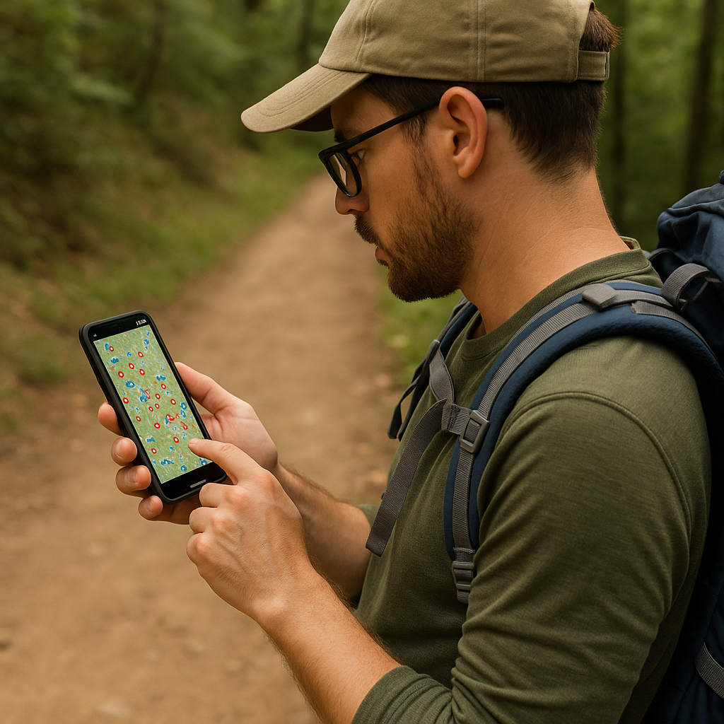
I can always tell when I’m hiking with someone who saved every single thing they saw in planning mode. Their map looks like confetti: trailheads, viewpoints, "maybe" camps, water sources, alternates, bailouts, and the cafe for after. It feels prepared. In practice, it turns you into a compulsive checker, because every time the trail bends, you’re thinking, "Wait, is this the spur to Pin #17 or Pin #23?" For me, more pins usually mean more unnecessary map checks, which adds screen-on time.
So I run a ruthless pre-hike pin cleanup, and I keep it to a small set that answers the only questions that matter on-foot: Where do I start, where am I trying to end, where are the decision points, and where’s the next water source I’ve verified from current information? That’s it. For a day hike, that might be five to eight waypoints total. For an overnight, maybe a dozen if there are complicated junctions.
Here’s how I pick them, in a way that’s actually useful when you’re tired: I save every major junction I can’t afford to miss, plus any spot where the obvious path on the ground has a high chance of lying to you (like a wide old track that looks main but is not the route). I label those pins with action words, not cute names. Stay L at cairn beats Pretty saddle when you’re trying to decide which direction to walk.
Once I’ve got that trimmed list, I turn on the app’s compass heading or the little direction cone, do a quick sanity check for the first mile, and then I put the phone away. I’m not trying to be pure about it. I’m trying to make the map a tool I consult with intention, not a TV show I keep re-opening.
And if you like recording tracks, consider not staring at the moving dot. Start the recording, confirm it’s running, then forget about it. A track log will quietly collect points in the background. Your screen doesn’t have to be the narrator for the whole hike.
The lock-screen screenshot I use to stretch my battery
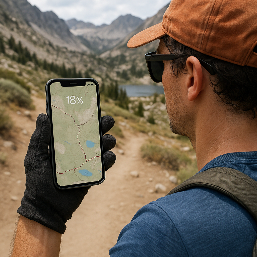
If my phone is at 18% and we’re still a few miles from the trailhead, I stop playing the refreshing-the-map game. The thing that drains a phone fast is the full loop of actions: unlock, Face ID fails because you’re sweaty and wearing sunglasses, unlock again, app reloads, it tries to reacquire location, you zoom, you pan, you repeat. I’d rather cut that whole routine down to one glance.
Before I start walking, I take one screenshot that’s designed to be readable as a static reference. Not a pretty overview. A functional one. I zoom to a level where I can see: (1) the next two junctions, (2) the shape of the ridge or drainage I’m following, (3) a couple of labeled landmarks (peak name, lake name, pass name), and (4) the distance scale bar. Then I take the screenshot and favorite it so it stays easy to find.
On iPhone, I also set that screenshot as a temporary lock screen wallpaper when I know the day is going to be long and power is tight. It looks goofy, but it means the map is visible with a single tap, no unlocking, no app loading, no accidental screen-on time while I fumble with gloves. Android has similar options depending on the model, and even without the wallpaper trick, you can keep it in your photo favorites for quick access.
This isn’t a replacement for proper navigation or a paper backup map. It’s a battery-conservation move that buys you a calmer decision-making process when you’re forced to ration power. You can still pull up the live map at the next junction, confirm which branch you’re on, then go back to the screenshot for the in-between.
I’ve done this enough times that I can tell when I picked the wrong zoom level. If the screenshot doesn’t show the next decision point, it’s useless. If it’s too zoomed in, I lose terrain context and end up opening the app anyway. When it’s right, I can hike for an hour with my phone basically asleep, and that’s the whole point.