
Three traditional navigation habits I use near remote heritage sites: bearing corridors, natural handrails, and back-bearings.
Set a bearing corridor before leaving the last known point
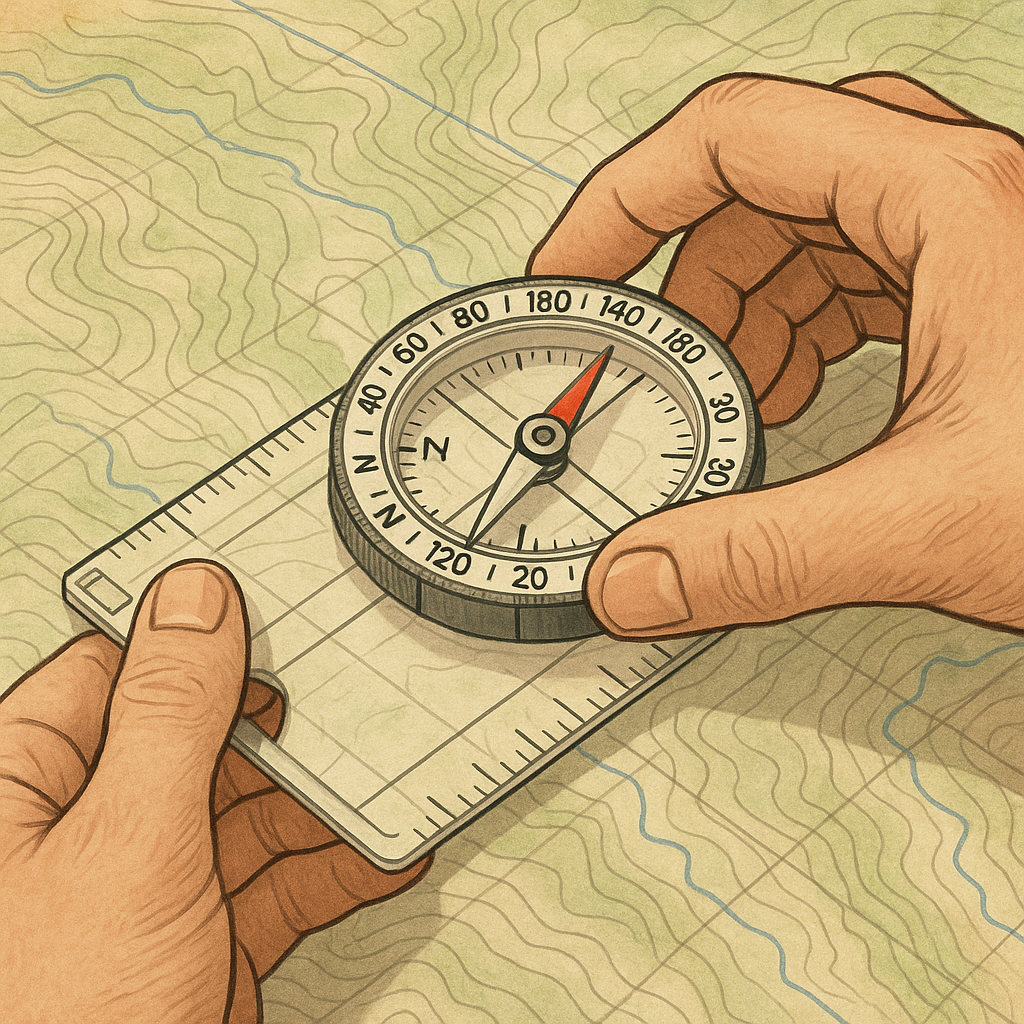
I don't start wandering and then decide where I'm headed. I do the boring part while I'm still standing on something I can name on the map: a saddle, a wash junction, the last cairn I trust, the corner of a fenced pasture. Then I set a bearing and define a narrow margin on either side of it. If you've never done it, it's just about using the bezel as a guardrail rather than a decoration. I line up my baseplate on the map (UTM grid lines make this painless if you're carrying a 1:24,000-scale map or something similar), rotate the housing until the orienting lines match north on the map, and I take the bearing. Now the part that matters: I look at the index line and count half my planned deviation allowance to each side on the bezel. On most compasses, each little tick is 2 degrees. If I can live with a 10-degree corridor, I mark 5 degrees to the left and 5 degrees to the right. I don't need a pen. I just remember which bezel numbers bracket my index line.
Why do I care about heritage approaches? Because the damage usually isn't dramatic. It's a hundred micro-choices: stepping around a puddle, cutting a corner to save your shins, drifting toward a line of stacked stone because it looks like the route. That last one is the killer. A lot of places have low walls, terracing, alignments, and old field boundaries that read like a trail from 30 yards out. A bearing corridor helps keep me from drifting toward fragile areas. I walk with the needle inside my corridor and pick nearby aiming points that are safe to use: a lone juniper, a pale boulder, the edge of a shadow line. If the needle is kissing the left boundary, I correct now, not after I've already braided a new track into a crusty soil surface. When visibility gets weird, like late-day glare on slickrock, I shorten the legs and re-aim more often. It feels slow. It's faster than having to backtrack and guess which of your footprints went where they shouldn't have.
Handrails beat heroics: walk the feature, not your hunch
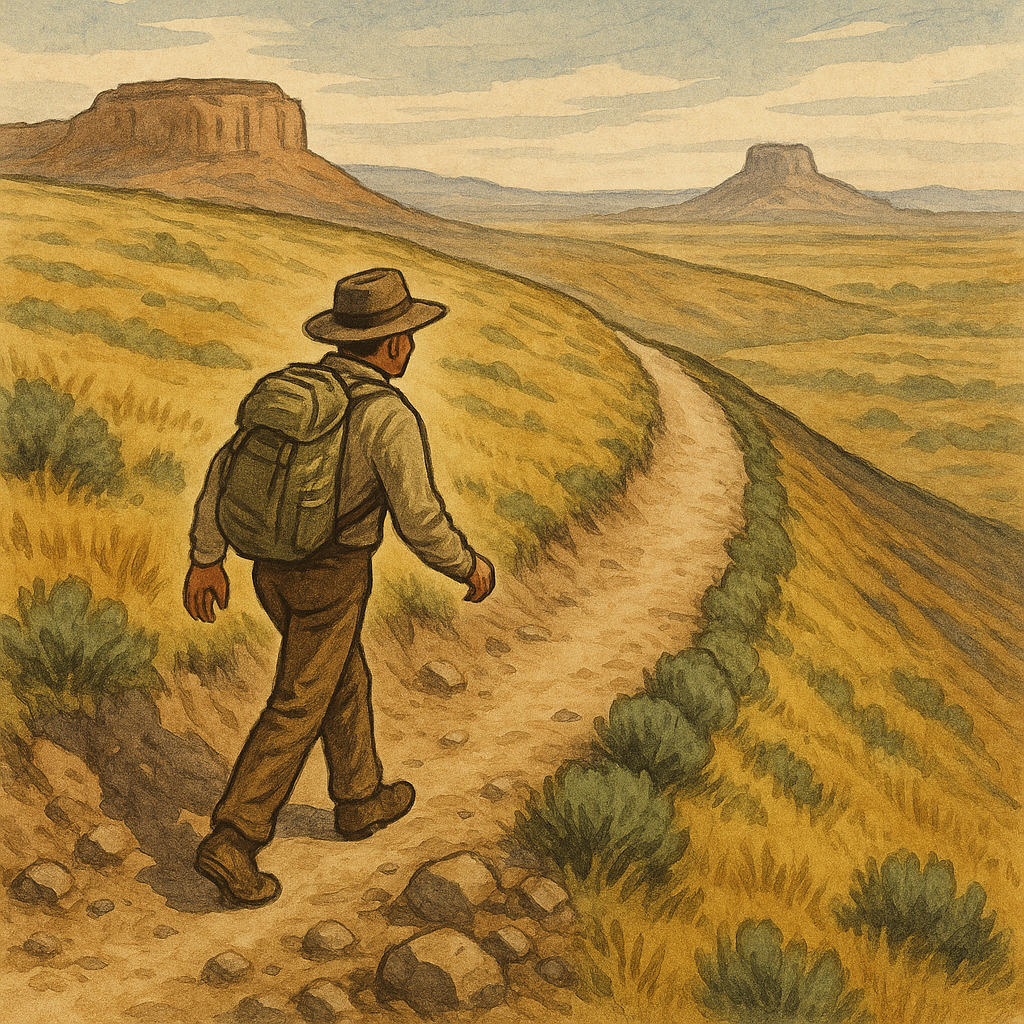
The cleanest traditional navigation I've ever done didn't look like navigation. It looked like walking beside something obvious and refusing to get cute. A handrail is any feature you can follow without constantly checking your position: a ridge crest, the edge of a mesa, a drainage you can stay alongside (not in, if it's fragile or flash-flood country), even a distinct change in vegetation that tracks a contour. When I'm heading to remote heritage sites, I plan handrails on purpose because they reduce the number of times I have to cut across open ground where every step shows. If my map shows a long, gentle ridgeline pointing toward the basin I need, I will take that ridge and ride it like it's a sidewalk, even if the straight line would be shorter on paper.
This is where topo literacy stops being trivia. I read the contour spacing as a texture. Tight lines mean sidehill misery and loose rock. Wide spacing is where you can float. If I need to hit a specific saddle, I don't stare at the compass the whole time. I use the handrail to keep the big direction correct. I use catching features to know when to stop: a notch, a sharp bend in the ridge, a tributary that joins at a T. If there's a known modern intrusion in the area (a barbed-wire fence line, a two-track, a utility corridor), I treat it like a boundary, not a guide. A fence can be there to keep people and livestock out of something that can't take pressure, and I don't want my route to normalize following it right up to a corner post. I stay offset. I give it air. I also avoid using built features as handrails when they could be cultural materials themselves. That linear pile of stones might be the thing I'm there to respect, not my navigation tool.
My favorite handrail move is to pick one side and commit. If I'm following a ridge, I decide early: am I staying just below the crest on the windward side to avoid cornices and loose blocks, or am I on the leeward side where the footing is better but the terrain rolls? Waffling is how you accidentally cut a new path. Commitment keeps you from doing that annoying zigzag that turns into a visible scar. There's no romance in it. It's just the difference between arriving quietly and arriving like you dragged a rake behind you.
Back-bearings: the two-minute check that saves the return
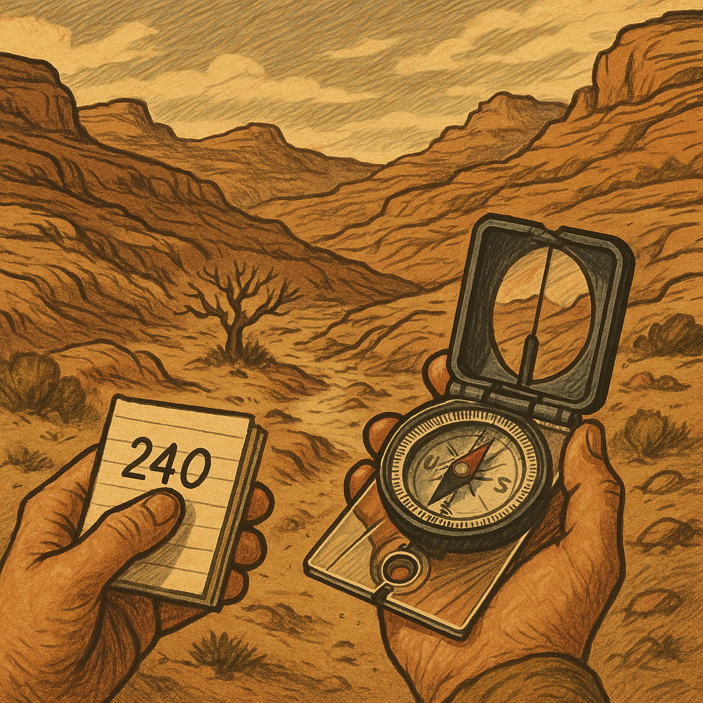
The return route can look very different once shifting light turns a familiar line into a jumble of similar cuts and ribs. That's why I take back-bearings, and I do it before I'm tired. It's a dead-simple traditional habit: when I reach a decision point (the top of a pour-off, the end of a ridge finger, the spot where I leave a wash and climb), I turn around and shoot the bearing back to where I came from. Then I write it down in a way I can use when my brain is foggy. Not poetry. Just numbers and a landmark.
Example: I walk from a saddle to a side drainage, then I have to contour to a low bench where the route gets subtle. At the saddle, I take my forward bearing. When I reach the drainage, I turn and take the back bearing to the saddle. If my forward bearing was 060 degrees, the back bearing should be about 240 degrees (add or subtract 180 degrees). I don't need it to be perfect. I need it to be a sanity check. If I later stand on that bench and my compass says the saddle is at 210, something is off. Either I'm not where I think I am, or I'm holding the compass wrong, or I've drifted around a spur. That two-minute check keeps me from committing to the wrong exit line and having to stomp around looking for the right one.
I also do a visual version that feels almost too simple: I look back and pick the exact shape I'll recognize later. A dead snag with two forks. A boulder with a white stripe. The one lone cottonwood in a sea of scrub. If I'm in slickrock country, I look for the crack system that forms a sideways Y. Then I take a quick photo showing the landmark and the direction of travel, but I keep it for myself. I don't post it or share it as a breadcrumb trail. If you're moving through a place that people have fought to protect, broadcasting the approach line can be its own kind of damage.
When this habit pays off, it feels almost boring. You walk out, and everything lines up. When you skip it, you do that awful thing where you keep telling yourself the next rise will reveal the right drainage, and it never does.