
That tiny overflow symbol on offline tiles has led me to more empty trailheads than any landmark pin ever has.
Chase the unglamorous POIs in your offline tiles
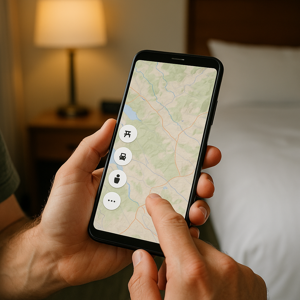
I used to hunt for named viewpoints and the little camera icon, because it felt logical. Then I started paying attention to the dumb, gray stuff that shows up when you download an area for offline use: the tiny picnic table, the restroom symbol, the three-dot overflow that looks like a nothing-burger. Those are the places land managers have to mark for ordinary reasons, which means they often sit on a real access point long before anyone bothers to romanticize it with a place name.
My habit now is simple: in the hotel the night before (good Wi-Fi, full battery), I download the tiles, then zoom in until the labels thin out. I tap the unglamorous POIs and read the details panel like I'm trying to break it. Does it have hours? Does it say seasonal? Is there a phone number that looks like a ranger station instead of a random cell? If the listing has two or three photos and they're all of a trash can, perfect. That means the spot exists, people stop there, and it hasn't become someone's branded sunrise pilgrimage.
Once I find one of those, I don't navigate to the POI itself. I navigate to the nearest road junction that has a clear name and a clean turn, then I eyeball the last half-mile on satellite view for a wide shoulder, a gate, or the faint lighter strip of a pullout. On the ground, that translates into a place you can park without blocking anyone, and from there you can start walking without immediately joining a conga line of day hikers.
This isn't about being secretive. It's about using the stuff the map has to be honest about (bathrooms, maintenance roads, overflow parking) to get you onto public land where the fun starts after the first bend.
Read the contour mess, not the headline trail
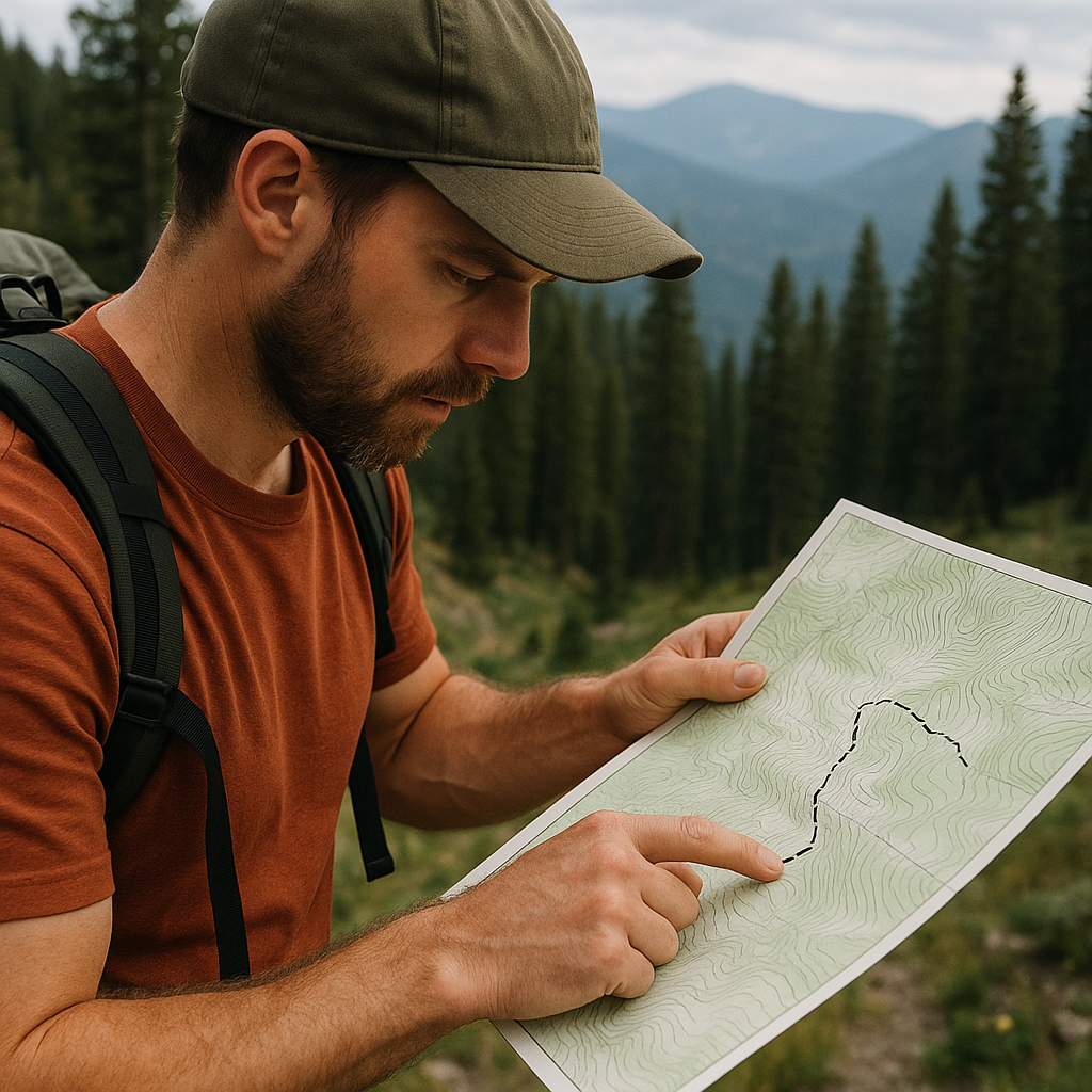
Seasoned explorers don't get stuck because they can't read a map. They get stuck because they're too polite with it. They follow the highlighted route, the thick dashed line, the trail that has a cute name, and then they wonder why it feels like a guided experience even when it's self-guided.
When I'm trying to find something that feels uncharted, I start with contour lines and the places where they get annoying: the tight stack that signals a steep pitch, the weird saddle where three drainages argue, the ridge that has a flat shoulder halfway up for no obvious reason. Those oddities are where you'll run into old use paths, faint cut stumps, an abandoned fence line, or a boot-worn notch that never got promoted into an official trail. In other words, it's where humans have been moving through the landscape for a long time, but not in a way that's easy to market.
Here's what I do in practice. I pick a public land boundary I'm confident about (national forest, BLM, state land), then I zoom in on topo and look for a ridge that offers a clean handrail: something you can follow without constantly checking your phone. I avoid the obvious valley floor because that's where roads and campgrounds live, and I avoid the sharpest knife-edge because it turns into a scramble story, not an exploring story. I'm looking for the middle: sustained gain, then a broad line you can hold.
Before I commit, I flip to satellite view and check for two things: burned areas (easy to underestimate exposure and wind) and cliff bands (easy to overestimate your ability to traverse). If satellite shows a continuous rock band right where the topo gets tight, I take it seriously. If it looks like mixed timber or broken talus with gaps, that's usually where a quiet, non-famous route exists.
The payoff isn't a braggy summit. It's that feeling of moving through a place that hasn't been simplified for you. You make small choices all day, and you come home tired in a good way.
Use property lines and odd easements to find the gap
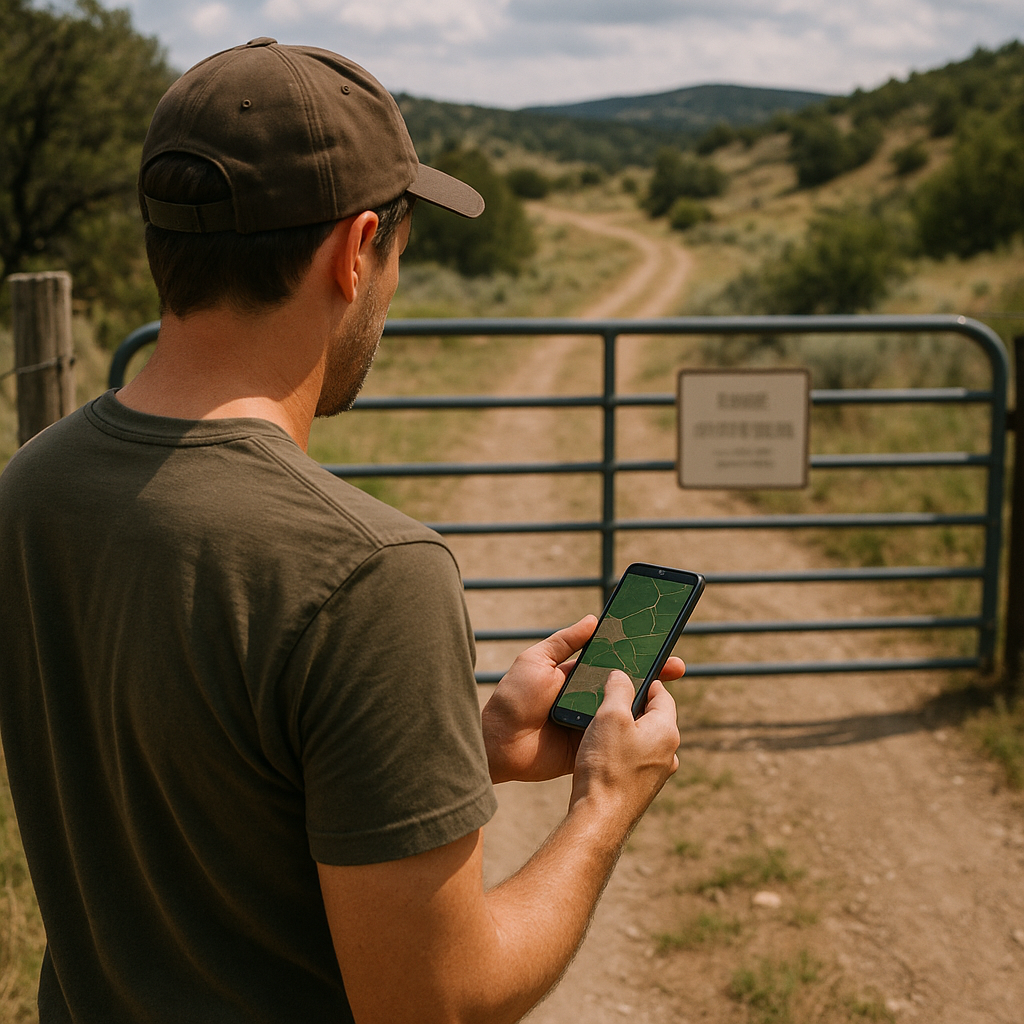
If you've ever stared at a gorgeous patch of public land that seems impossible to reach without trespassing, you're not alone. The trick is that access rarely looks like a heroic trailhead. It looks like a thin strip, a corner, a utility corridor, or a public right-of-way that exists for reasons nobody put on a postcard.
I learned this the slightly embarrassing way: I drove two hours to what I thought was an obvious entry point, only to arrive at a locked ranch gate with a polite sign and zero shoulder to park on. Now, before I go anywhere that feels "off the menu," I check land ownership layers and easements. I like apps that show parcel lines and public land overlays (onX is one option), but I don't treat them as gospel. They can be wrong or outdated. What they are good at is showing you where to start asking better questions.
My process is a three-step scan. First, I find the public parcel I want and trace its boundary. Second, I look for the nearest public road that touches that boundary at a corner or along a straight edge. Third, I zoom way in and look for the human hints: a cattle guard, a pullout that isn't labeled, a graded two-track that continues past the end of pavement. If the only access is across private land, I stop there and pick a different objective. No trip is worth turning a local into the person who has to put up another No Trespassing sign.
When I do find a clean touchpoint, I save two pins: one for the legal entry and one for the first obvious navigation handrail (a creek bend, a ridgeline, a junction). I also screenshot the relevant boundary section while I still have service. Not because a screenshot proves anything, but because it helps me stay oriented if the app decides to reload at the worst moment.
This approach has put me on unnamed mesas, empty washes, and quiet timber benches that sit a mile from a busy highway, invisible to anyone who never zooms in far enough to see the lines.