
Three ways I use old maps and local archives to find more interesting stops on a road trip.
Courthouse plat books
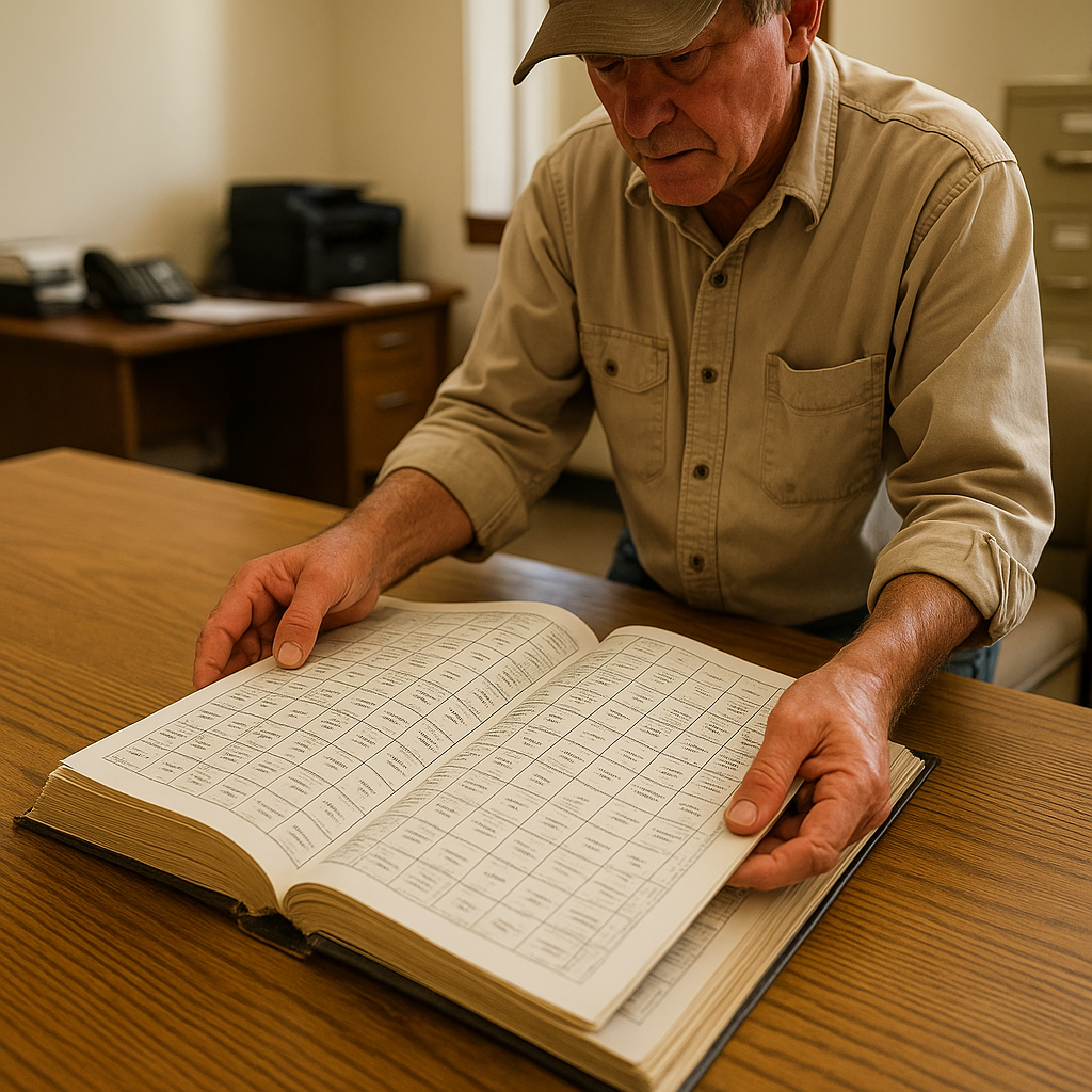
The most useful road trip stop I make in the Plains is the county courthouse or local historical society, where I can look through a heavy plat book. If you've never used one, it's basically a land-ownership atlas: grids of sections, names printed right on parcels, and all those thin roads that a modern basemap treats like gray threads. On a drive through western Kansas and eastern Colorado, I've used plat books to build a loop.
Here's what I do, hands-on. I flip to the township we're crossing and look for three things: a cluster of repeated surnames, which can give me a lead for further research; a school or church label that isn't on Google; and a road that curves for no obvious reason. Then I cross-check with a paper county road map at the counter, because the plat book doesn't promise passability. I also ask whether any of the roads or bridges shown on the map are currently closed or difficult to drive. I jot the road numbers on an index card, snap a photo of the page for later, and build the day around two small-town stops: the cemetery with the same surnames, and the cafe where those names are still on the donation plaques. The landscape is huge out there, but the plat book makes it personal fast.
Sanborn maps
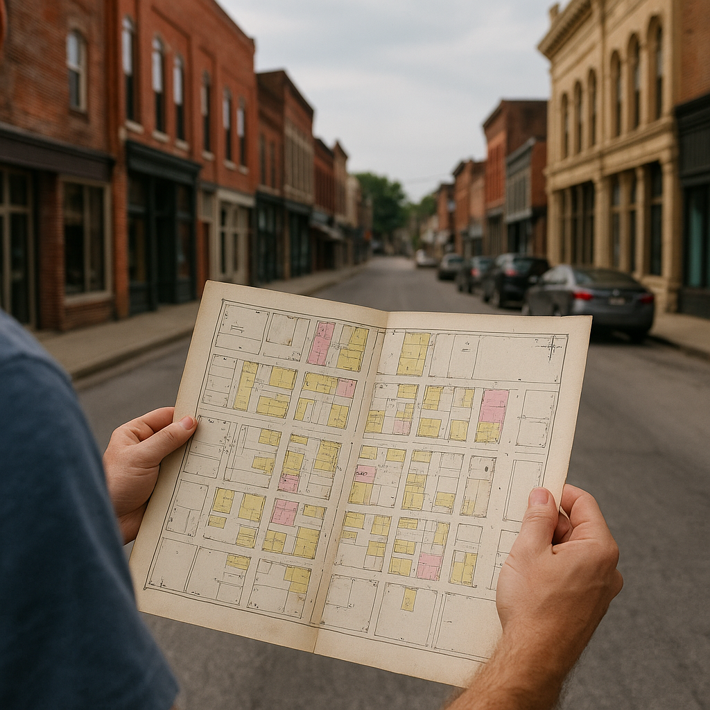
If you like small towns with a pulse, look up a Sanborn fire insurance map before you go. They were made for underwriting, so they're nosy in the best way: building footprints, street names, construction materials, even labels like "bakery" or "lodge". I've built a whole day around this in southern Illinois, driving the bluffs along the Mississippi and then hopping town to town where the river towns used to compete for traffic. The scenery is doing its big thing, sure, but the Sanborn sheets show which blocks, buildings, and businesses were important enough to map in detail at the time.
My favorite move is to pick one town as the anchor and two as satellites. In the anchor town, I ask for the map drawer or the vertical files and specifically say, "I'm trying to match the old fire insurance map to what's still on the street." That gives the staff a specific question to work with, even if I'm also doing a little genealogy. On the map, I find the densest block of commercial footprints. Then I walk that block in real life and play a simple spot-the-survivors game: which building lines up exactly, which lots have become parking, which alley got swallowed. The weird part is how often the back of Main Street is where the story is. You notice where the loading doors were, where the livery sat, and where the opera house used to be. Then I get back in the car and drive the old approach road into town, the one that used to bring wagons and later Model Ts into that dense block. When you enter the historic approach, the town's layout clicks. It stops being a random exit and starts being a place with a front door.
USGS topo sheets
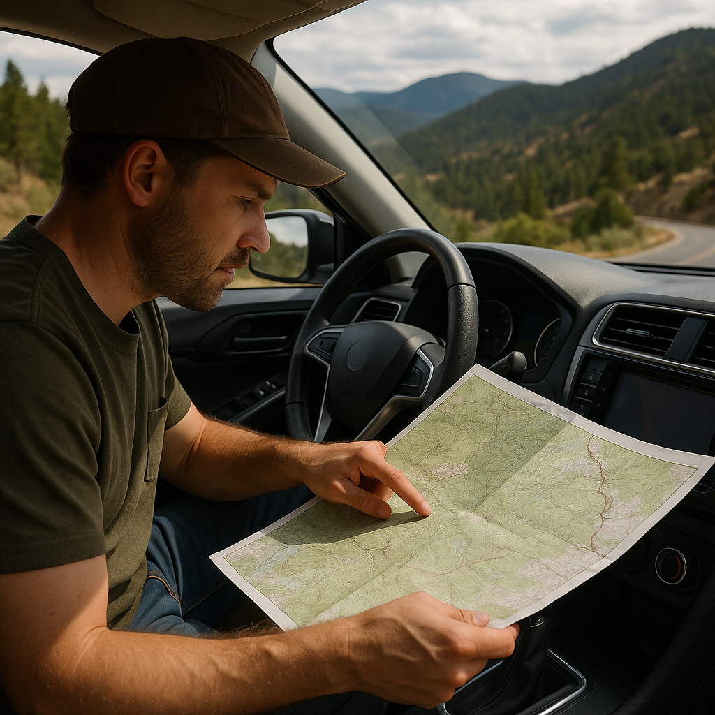
A lot of scenic drives get reduced to the same handful of pullouts because that's what the signs and the apps feed you. When I want the big-landscape hit plus the small-town texture, I go old-school with USGS topo sheets, the kind with contour lines tight as fingerprints. It's less about hiking (though you can) and more about understanding why the road does what it does. In northern New Mexico, for example, I've used topo maps to stitch together a day that runs from high forest down into a river valley, then ends in a plaza where you can eat something chile-forward and eavesdrop on locals arguing about runoff and roads.
My method is simple and kind of nerdy. First, I pick two towns I already want to visit, usually because there's a museum, a feed store, or a library with a local collection. Then I spread the topo sheets across a motel bed or the passenger seat and look for the cleanest natural corridor between them. You're looking for a pass with reasonable grades, shown by contours that are farther apart, and a creek or river that runs near the road. Those names can also give me landmarks to watch for along the drive.
On the road, I use the topo to anticipate changes in the road and terrain. The map gives me a better sense of the climb, ridges, valleys, and other features I'll encounter along the way. One practical note from having botched this: topo sheets don't guarantee road surface. A line is a line. Before I commit the whole family car to a thin squiggle, I check the state DOT map or ask at a gas station like a normal person. But when it works, it really works. By the time I reach the next town, I have a better sense of the terrain and how the road fits into the landscape.