10 Native Lands That Are Larger Than Entire U.S. States
Some Native American reservations span more territory than entire U.S. states. This is a fact that surprises many. These are not just symbolic homelands but substantial pieces of land with their own governments, infrastructure, and histories.
Here’s a closer look at these lands. We’ve reserved the last spot for the biggest native land, so stay tuned.
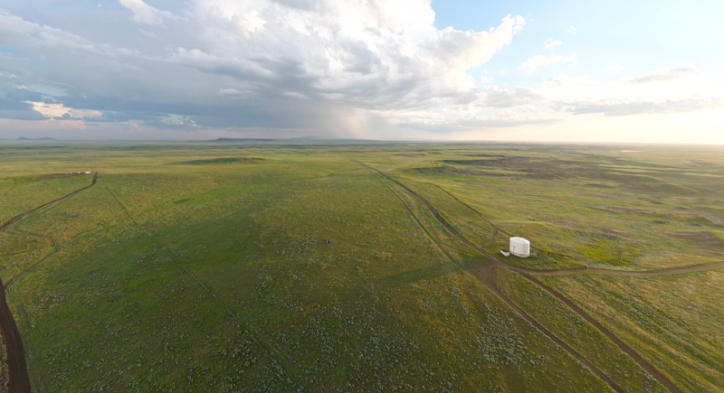
Fort Belknap Reservation – 1,150 sq. mi.
Credit: Wikimedia Commons
Fort Belknap spans 1,150 square miles. The Gros Ventre and Assiniboine tribes are restoring bison to this landscape not just for conservation but also as a move toward economic independence and cultural continuity that sidesteps the volatility of commodity markets.
Yakama Indian Reservation – 1,573 sq. mi.
Credit: Wikimedia Commons
This reservation is situated in central Washington, and the Yakama Nation manages agriculture, timber, and fishing operations. The land also supports fruit packing and gaming enterprises. It is also a major center for salmon conservation and land restoration.
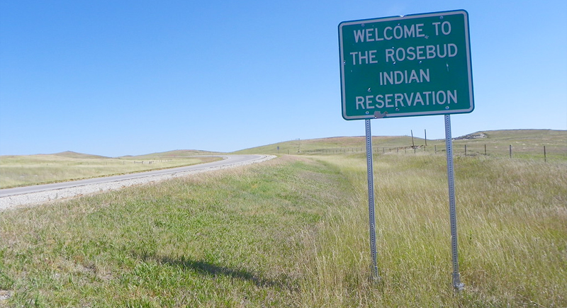
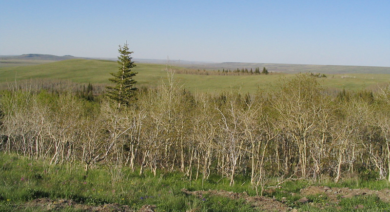
Rosebud Indian Reservation – 1,970 sq. mi.
Credit: flickr
Here you will find pastures, ranches, and a tribal college that anchors cultural resurgence. The Sicangu Oyate governs here, but land alone doesn’t insulate them from economic precarity. Food insecurity and healthcare gaps persist, but so does investment in new housing and Lakota-led education reform.
Blackfeet Indian Reservation – 2,371 sq. mi.
Credit: flickr
Just east of Glacier National Park, the Blackfeet is home to sacred sites and active oil leases. Cultural tourism draws visitors, but decision-making still centers on control over minerals and clean water. Wildfire risk and public safety demand constant attention.
Hopi Reservation – 2,531 sq. mi
Credit: Wikimedia Commons
Hopi land is structured unlike most. It operates under its own governance, guided by consensus. Geography is spiritual here. Mesa villages hold histories that predate borders, and the community resists outside legal encroachment with firm cultural grounding.
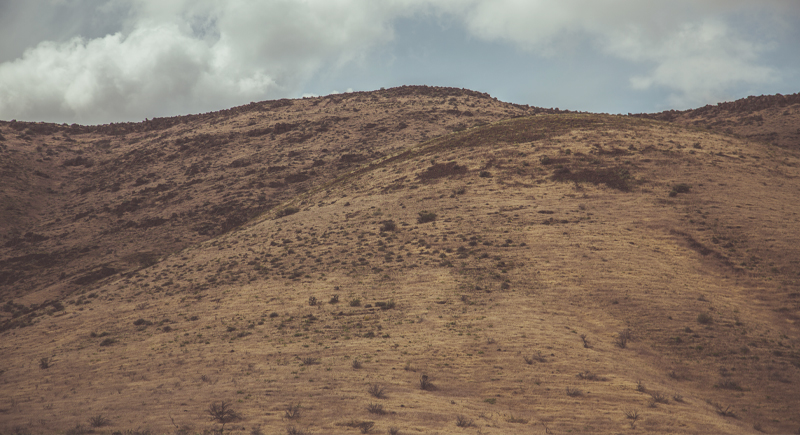
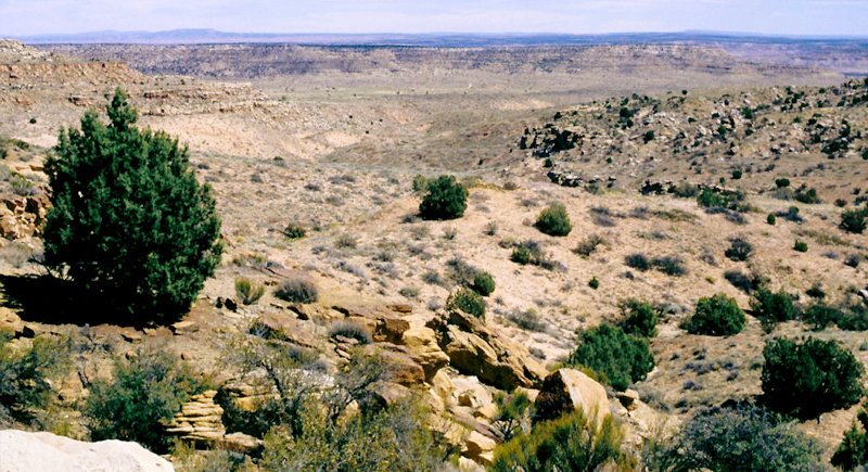
San Carlos Apache Reservation – 2,920 sq. mi.
Credit: Wikimedia Commons
The terrain is as varied as the tribe’s economic strategy: balancing business with land stewardship. Apache leadership here has turned tribal-run tourism and forestry into core economic tools. Logging contracts and fishing permits help fund schools and infrastructure maintenance.
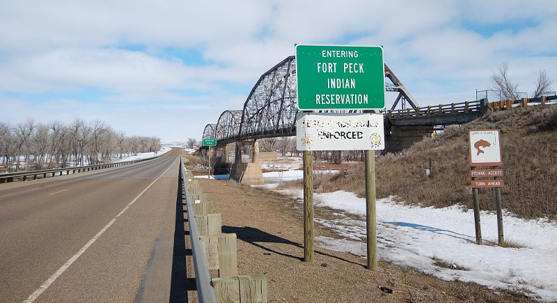
Fort Peck Reservation – 3,200 sq. mi.
Credit: Wikimedia Commons
Fort Peck, in northeastern Montana, houses Assiniboine and Sioux communities. Agriculture, conservation, and wind energy are prominent here. The land includes small towns, riverbanks, and projects aimed at preserving economic stability and wildlife.
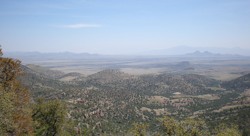
Wind River Reservation – 3,438 sq. mi.
Credit: Wikimedia Commons
It’s a place where sovereignty looks both modern and ancient, often in the same afternoon. This central Wyoming reservation spans around 3,438 square miles and is co-managed by the Eastern Shoshone and Northern Arapaho tribes. Here, every decision requires negotiation across cultural and legal lines.
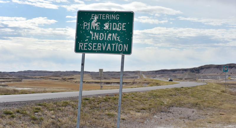
Pine Ridge Reservation – 3,469 sq. mi.
Credit: flickr
Pine Ridge holds more than history books can contain. The Oglala Lakota Nation governs this reservation in southwestern South Dakota. It is larger than Rhode Island and Delaware combined and includes parts of the Badlands. Housing, infrastructure, and unemployment remain major issues facing the community.
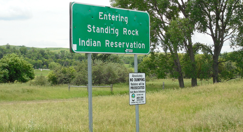
Standing Rock Sioux Reservation – 3,571 sq. mi.
Credit: flickr
For many, Standing Rock only entered the national conversation during the Dakota Access Pipeline protests. But its 3,571 square miles have long been a battleground for water rights and treaty enforcement. Day-to-day, the community focuses on rebuilding schools and navigating cross-state legal systems. It remains a focal point for environmental and Indigenous rights movements.
Crow Indian Reservation – 3,606 sq. mi.
Credit: Wikimedia Commons
The Crow Reservation, located in southern Montana, has boundaries that include segments of the Bighorn Mountains. The land supports farming, coal mining, and hydropower. It’s larger than several northeastern U.S. states combined.
Cheyenne River Reservation – 4,419 sq. mi.
Credit: Wikimedia Commons
This South Dakota reservation spans roughly 4,419 square miles, easily surpassing Rhode Island and Delaware together. It’s home to the Cheyenne River Sioux Tribe, which includes several Lakota bands. The land itself sees few visitors, but it’s central to Lakota environmental and education efforts.
Tohono O’odham Nation – 4,453 sq. mi.
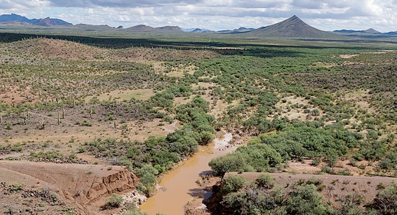
Credit: Wikimedia Commons
It’s larger than Rhode Island and Delaware combined, but size alone doesn’t define this borderland. It’s the daily negotiations with U.S. federal authorities that do. Split across 4,453 square miles in Arizona and Sonora, Mexico, the Nation patrols its own land, runs its own law enforcement, and manages the friction of sovereignty amid border policy.
Uintah and Ouray Reservation – 6,825 sq. mi.
Credit: flickr
You could fit Connecticut into this northeastern Utah territory and still have room to stretch. Here, the Ute Indian Tribe manages resource extraction, with fluctuating energy markets often determining the pace of development. However, tension between state authorities and tribal sovereignty complicates land use, especially regarding water and grazing rights.
Navajo Nation – 27,325 sq. mi.
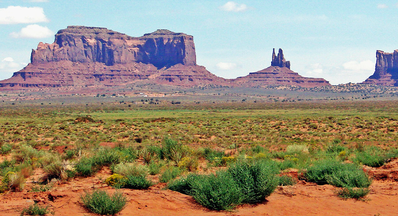
Credit: Wikimedia Commons
The Navajo Nation dwarfs several U.S. states. It’s a full-scale government with its own courts, police, and legislative system. Yet access to clean water, internet, and healthcare remains uneven. What exists here isn’t just vastness. It’s the enduring challenge of building sovereignty amid chronic underfunding.