
Three map-reading tells I lean on to spot quiet spurs, false endings, and the kind of switchback geometry that screams "there's a path here."
The spur that looks like a mistake (until you're standing on it)
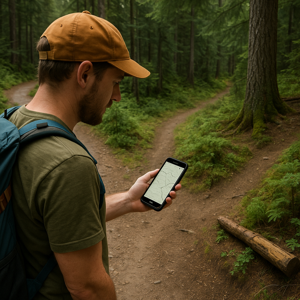
I started catching more hidden trails when I stopped hunting for a full, confident trail line and started hunting for the little offshoot that looks half-finished. On a lot of basemaps (OpenStreetMap data, old USGS scans, or the default layer inside Gaia GPS/CalTopo), a lightly used spur often shows up as a faint dashed segment that seems to give up after a quarter mile. That "dead end" look is exactly why people walk past it. But in remote terrain, the tread often continues as a climbers' path, an old stock route, or a reroute that never got cleaned up in the data.
Here's the tell I trust: a short spur that leaves a main trail at a reasonable grade and immediately commits to a contour. If it exits and stays roughly level for a bit (instead of beelining up or down), that's usually a human choice, not a cartographer's scribble. I zoom to the 40 ft or 20 ft contour interval and watch whether that spur is trying to hold an elevation band. If it is, I drop a waypoint right at the split and another 200 to 300 yards in, because that first stretch is where the tread is most likely to be subtle and where you'll second-guess yourself.
In the field, I give it an honest two minutes. Not two miles. Two minutes. Look for the boring stuff: a sawn log, an old cut bank, the way duff is scuffed off on the uphill side of a tree. If the spur has even one piece of maintenance DNA, I stay on it. If it's just animal track chaos, I bail and I don't feel dramatic about it. The win here is that you stop needing a neon sign that says TRAILHEAD. You're reading intention: where would a person have tried to go without losing energy to steepness?
How I read switchbacks to find the unadvertised route
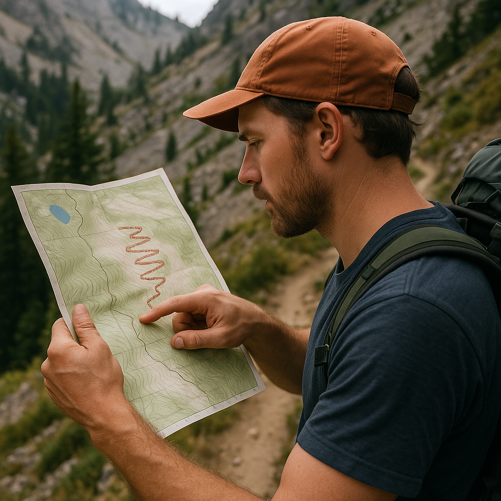
Most people scan a topo for the obvious: the main trail line, the lake icon, the peak label. I zoom in on the switchbacks and ask a different question: do they look like they were designed, or do they look like they evolved? In remote wilderness, the hidden path is often the one that wasn't engineered for pack stock, and that shows up as switchbacks that don't have the smooth, evenly spaced rhythm you see on a maintained trail.
On the map, I look for three specific patterns. First: the "double-back" that isn't symmetric. A maintained trail tends to flip direction with similar spacing each time. A user path will do a tight turn to dodge a cliff band, then immediately run straighter for longer than you'd expect. Second: the switchback that aims directly at a saddle or a notch for one leg, like it got obsessed with the easiest line through the ridge. Third: a set of switchbacks that abruptly stops and turns into a contouring traverse. That transition is where I expect a junction, even if the junction isn't drawn.
Once I see one of those, I cross-check against slope shading (CalTopo's shading is my favorite for this) and the contour shape right at the bend. If the bend sits on a small bench, it makes sense as a breath-catching spot and a decision point. If it's drawn in the middle of a convex slope with nothing to stand on, it might just be messy data.
In real life, this is where your legs confirm what the map hinted. You hit the odd switchback and suddenly there's a faint track shooting off, usually with a couple of cairns that look like they were built by someone who didn't want to start a religion about cairns. If I'm solo, I mark that split immediately. If I'm with a group, I call it out before someone cruises past on the main line. The point isn't to turn every hike into detective work. It's to recognize that switchbacks are a record of constraints: rock, brush, and human impatience. The hidden route leaves its fingerprints there.
The false-ending trail: when the line quits but the ground doesn't
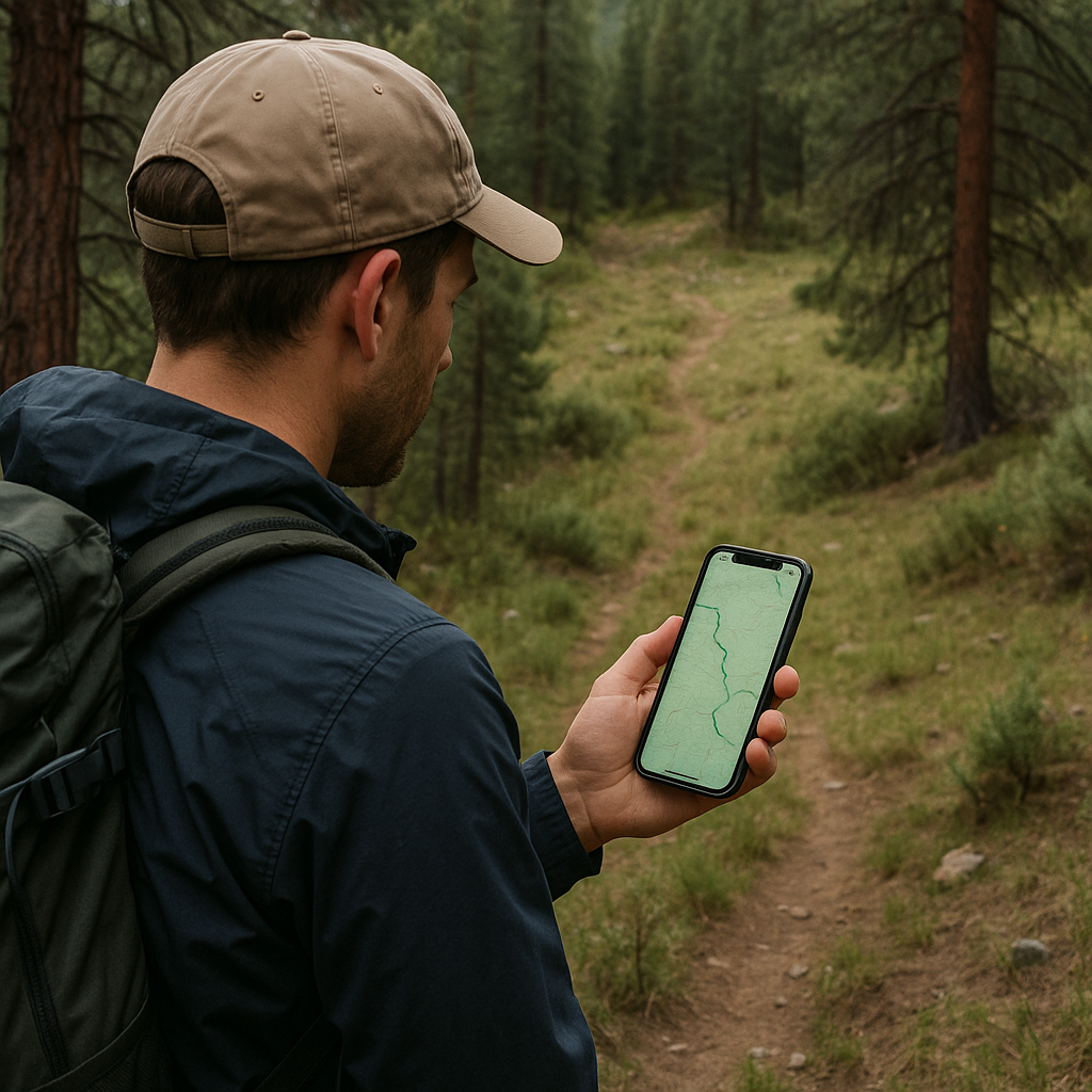
I've had this happen enough times that I don't even get mad anymore: you're following a faint trail line on your phone, it looks good for a while, and then it just stops. Not because the trail stops. Because the dataset stops. In remote areas, you're often riding the seam between two mapping sources, or you're looking at a trail that exists on the ground but never made it into the layer you're using. The trick is knowing when to treat that as a warning and when to treat it as an invitation.
My favorite way to sort it out is boring and fast. Before the trip, I stack two different layers and see if the ending is consistent. If the line dies in one layer but continues in another (even as a lighter path, a dashed track, or an older alignment), I assume it's a mapping problem. If both layers agree it ends, I get more skeptical. Then I look at the terrain logic: does the path end at a place a person would choose to stop, like a water source, a pass, a basin entrance, or a viewpoint? Or does it end in the middle of a hillside like someone hit delete?
On the ground, I handle it with a tight boundary so it doesn't turn into a wandering festival. I pick a handrail and a stopping rule. Handrail could be a creek, a ridgeline, a contour band, or even the edge of a meadow. Stopping rule is time-based: ten minutes of moving forward while still seeing occasional tread indicators (cut branches, compacted dirt, a consistent corridor through brush). If those indicators vanish and I'm just forcing it, I stop. I backtrack to the last unambiguous tread and reassess.
This is also where I like to use a track log on my GPS app, even for a short poke. Not because I'm planning to publish the route, but because a clean breadcrumb makes the return painless if the continuation turns into nothing. The small win is confidence: you can explore the quiet continuation without pretending you're immune to getting turned around. And sometimes that false-ending is the whole reason you found the hidden trail in the first place.