
Maps don't necessarily show the names used by the Indigenous communities connected to a landscape. For me, using those names makes a route feel more grounded in the landscape's history and people. It also helps me question the colonial habit of mapping places with names imposed or standardized by outsiders. Sure, it doesn't undo that history, but it makes room for languages and place relationships that those maps have often pushed aside. When I'm planning a route through or alongside Native lands, I check Indigenous place names against Indigenous sources and build them into my waypoints, GPX files, and offline maps so they're visible throughout the trip. Here are a few ways you can do the same.
Add Indigenous Place Names to Your Waypoints
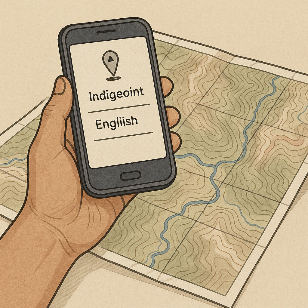
When I'm building a route that crosses or borders Native lands, I learn the place name before I start planning the mileage. I start with the Indigenous place name, then check that it refers to the same river, mountain, lake, trail, or other feature shown on my topographic map. My quick workflow is to check the relevant Indigenous nation or community's own sources first. I may then use Native Land Digital's online placenames map or other mapping resources as a reference. I use Native Land Digital as a reference, and I verify names against the relevant Indigenous community's own sources whenever possible.
For each saved location, I put the Indigenous name first, followed by the English name. If my mapping app allows it, I also add a pronunciation guide and a short note about where I verified the name. I use a clear waypoint icon, such as a spring, pass, or junction, to quickly identify the location without relying on the name alone.
If I can't confirm the spelling from a reliable source, I don't guess at it. I leave it out, or I mark it as unverified in my notes so I don't end up confidently exporting a mistake into everyone else's GPX.
Use Dual Names Across Your GPS Route
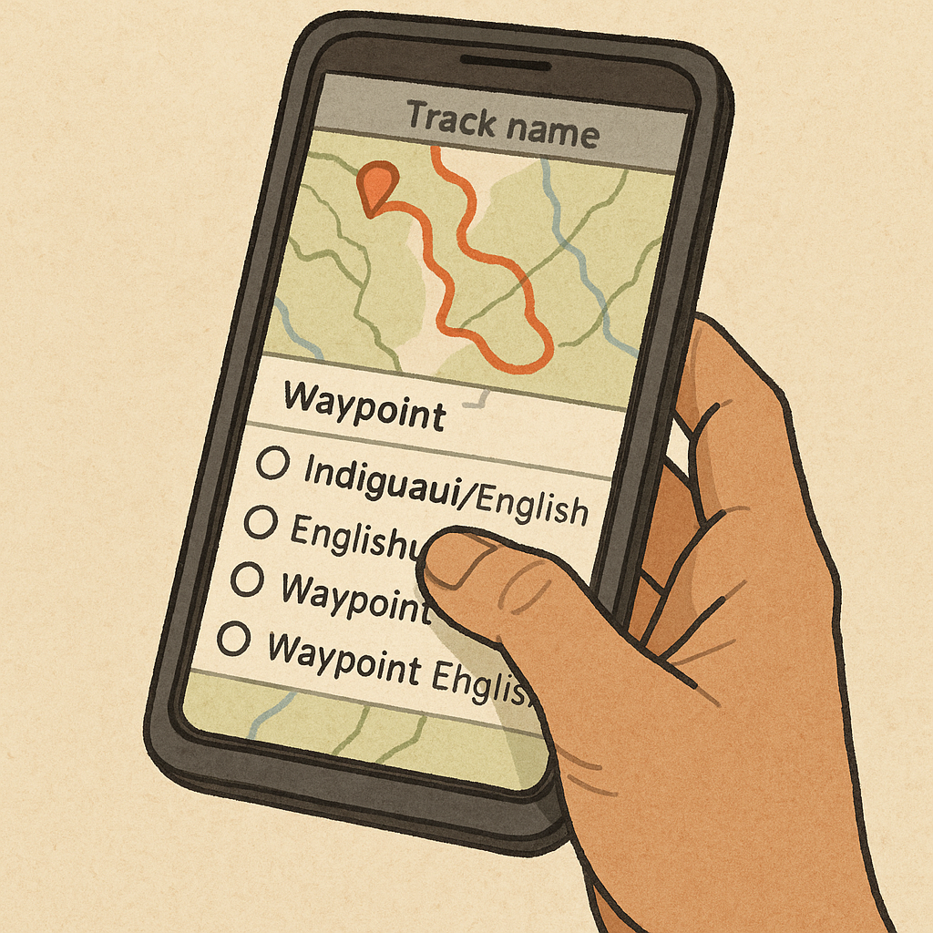
When you're sharing a route with a group, put Indigenous place names in the places people actually check during the trip: the waypoint list, track name, and printed cue sheet, if you're using one. Keep waypoint names short enough to read easily on a small screen: IndigenousName / EnglishName.
Use the description or comment field for additional information, such as the language or Nation when it is clearly sourced, and where you verified the spelling. When exporting a GPX, check the exported file on a second device because apps and GPS devices may display or format names differently. If a name doesn't fit comfortably in the waypoint field, keep the label concise and include the full name in the description.
I also rename the track itself. The track title is another place where the Indigenous name can remain visible. If the route is referred to only as "Loop" or "Ridge Route," the Indigenous name can easily disappear from everyday use. Putting the Indigenous place name first keeps it visible whenever the group opens or checks the route. I also add a waypoint at the trailhead labeled with the Indigenous name for the broader area. That also makes the name visible on shared maps and in screenshots.
Keep Indigenous Place Names Visible Offline
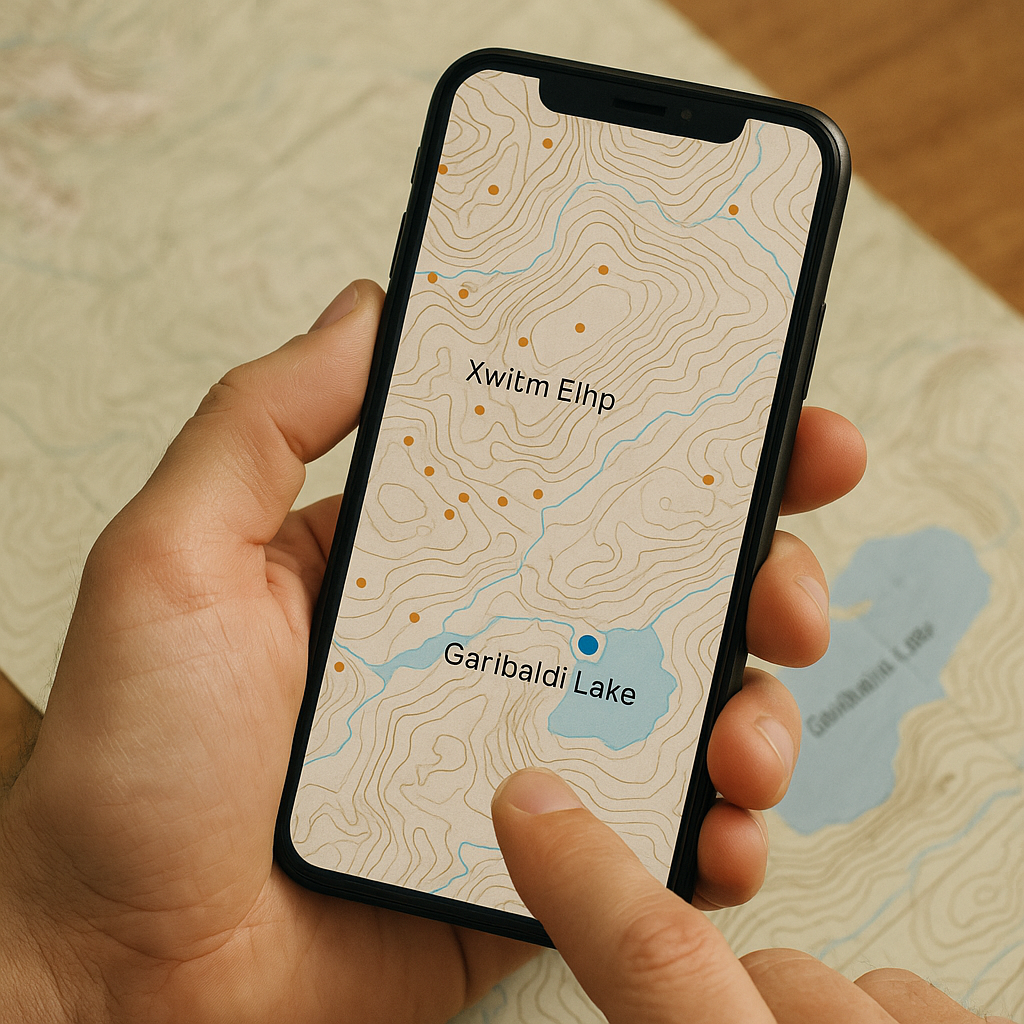
Place names can disappear from offline maps, even when you've saved the route and waypoints. So I make sure the offline map I take into the field can show those names. If it can't, I save a map image that includes them so I can still refer to the names without an internet connection.
I usually use an offline map based on OpenStreetMap data, then check whether the Indigenous names I need are actually displayed. They may be missing, or the data may contain an alternative name that the app doesn't display. If a name is missing, I don't try to add it just before a trip. Instead, I rely on my saved waypoints or take a separate map image that shows the name. If I do update OpenStreetMap, I follow its guidelines and use a reliable published source to verify the name. I don't add names based only on memory, hearsay, or an unverified social media post.
Before a trip, I test the map at home with my phone in airplane mode. I reopen the app and check the route at the zoom level I normally use. If the Indigenous names disappear, I add a few saved points along the route with the names attached. These points are simply there to keep the names visible on the map. I add them only at major features, so the screen doesn't become cluttered.
Finally, I keep one static backup: a screenshot or an exported PDF map view that includes both the Indigenous and English names together. This way, when somebody asks at camp, "What do we call this lake?" you can answer without hunting for a signal or arguing over spelling from memory.