
Three island ferry trips where route maps can reveal useful details about crossings, connections, and arrivals.
Read the route like a tide chart, even if you're on a big boat
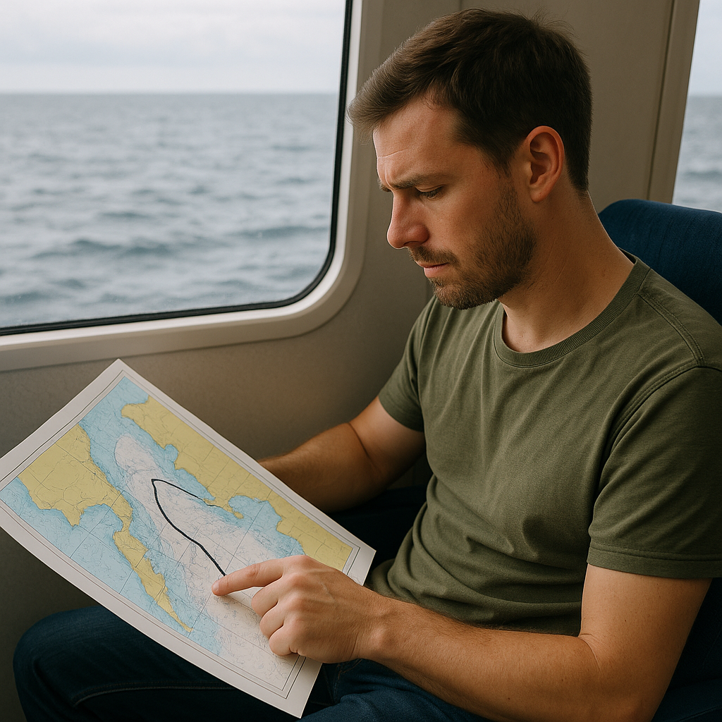
I learned this the stubborn way on Western Australia's Rottnest Island run: I treated the ferry like a floating bus, grabbed whatever seat was open, and spent 30 minutes watching the horizon do gymnastics. The second time, I looked at the marine chart first, and it clicked. The published track isn't just a straight line between two dots. It's a lane that threads around shoals and shallow patches, and those bends are where you feel the boat roll and correct.
On the chart, I look for three things that have nothing to do with romance and everything to do with comfort: (1) tight turns near reefs or sandbanks, (2) narrow gates where traffic funnels, and (3) big open-water stretches where wind has room to build chop. A bend in the route can signal a noticeable maneuver, but the chart alone cannot tell me which side will feel smoother. Vessel design, speed, sea state, wind, and the turn itself all affect motion. It's not perfect, but it's better than guessing.
Rottnest is also where the old and the new overlays become useful. Older charts can provide historical context about shoals and channels, but I would use a current nautical chart or operator information for anything affecting today's crossing. When a current chart shows a bank or marked channel near the route, I look for corresponding course changes rather than assuming the crossing follows a straight line.
If you're the kind of traveler who likes the ferry as part of the day, this is the fun part. You're not just watching water. A chart can also show why a route avoids certain shallow areas or follows a marked channel.
Use the ferry timetable, not a generic navigation app
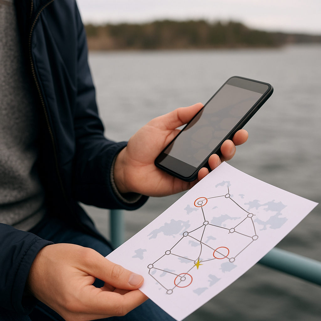
Finland's Archipelago Sea is where I stopped trusting my phone's idea of time. On paper, those island-to-island hops look like a tidy chain. On the ground (and water), they are a mix of short crossings, longer legs, and services designed around the transport needs of small island communities. The historic route diagrams and older timetable maps make that obvious in a way a generic navigation app never does, because they show the whole system at once. You can see the spine route, the little side loops, and the places where a connection only works if you arrive with a specific chunk of slack.
Here's the move I use in the Archipelago: I print or take a screenshot of the operator's route diagram and then add my own marks, as if I'm planning a transit commute. I circle the nodes that show up over and over (the main junction islands), and I star the docks that sit at the end of a long dead-end spur. At less frequently served docks, a missed connection can mean a long wait, so I check the published timetable before committing to the route.
Then I read the map for cadence. Does the route behave like a loop that keeps circulating, or a back-and-forth shuttle that piles up delays? I check the actual timetable before planning a connection because service frequency varies significantly by route. A missed sailing on a less frequent line can mean a long wait.
Historic maps can add context about older settlements, landing places, and waterways, but today's ferry timetable should determine the practical itinerary. When you understand that, the ferry stops feeling like a transfer and more like a slow scan of the whole archipelago. And yes, it also means you eat before the risky connection rather than after.
Check where the ferry actually leaves you on Mull
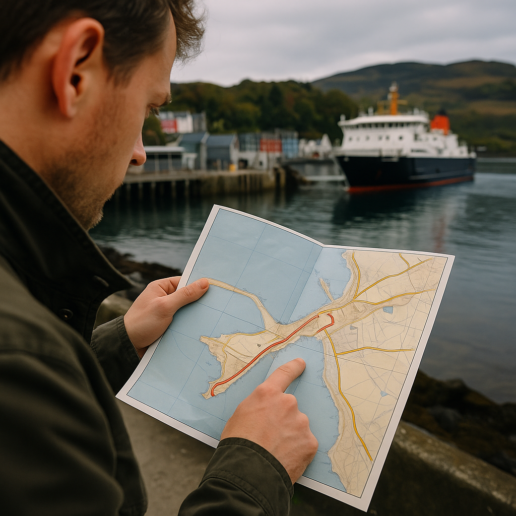
Scotland's island ferries taught me to look for the ghost of the old slipway. Not the modern terminal with its car lanes and bright signage, but the earlier landing point from before everything was standardized. Historic maps may show former piers or landing places, but modern terminal maps are the better guide for planning the first part of a walk. That tiny difference changes the first 20 minutes of your island day, which is the part most people remember as either breezy or annoying.
On the Isle of Mull, for example, the arrival experience depends on what you want to do immediately. If you're walking, not driving, the map question isn't just where the ferry docks. It's where you exit the terminal and which street network you hit first. Older maps can show where former piers sat in relation to roads and settlements, but I use the current terminal layout to decide which direction makes sense on foot.
When I'm building an island trip where the crossing is part of the point, I use the old slip locations to choose lodging and to plan my first walk. I mark two routes: the fast path (straight to a grocery or a cafe) and the scenic path (past the waterline, out to the point, or along the harbor wall where you can watch the next sailing come in). For a walking itinerary, I check the present terminal's access to shops, bus stops, shoreline paths, and the places I actually want to visit.
For arrival photos, I check the harbor layout but avoid assuming the ferry will berth exactly as an older map suggests. A harbor map can help me understand the approach, but docking direction and passenger access can vary with the vessel and operating conditions. For the practical details, I rely on the current operator map and timetable before I arrive.