
Three field-tested ways I use cairns, slope angle, and CalTopo layers to sniff out quieter trail options without getting reckless.
Cairns as breadcrumbs, not invitations
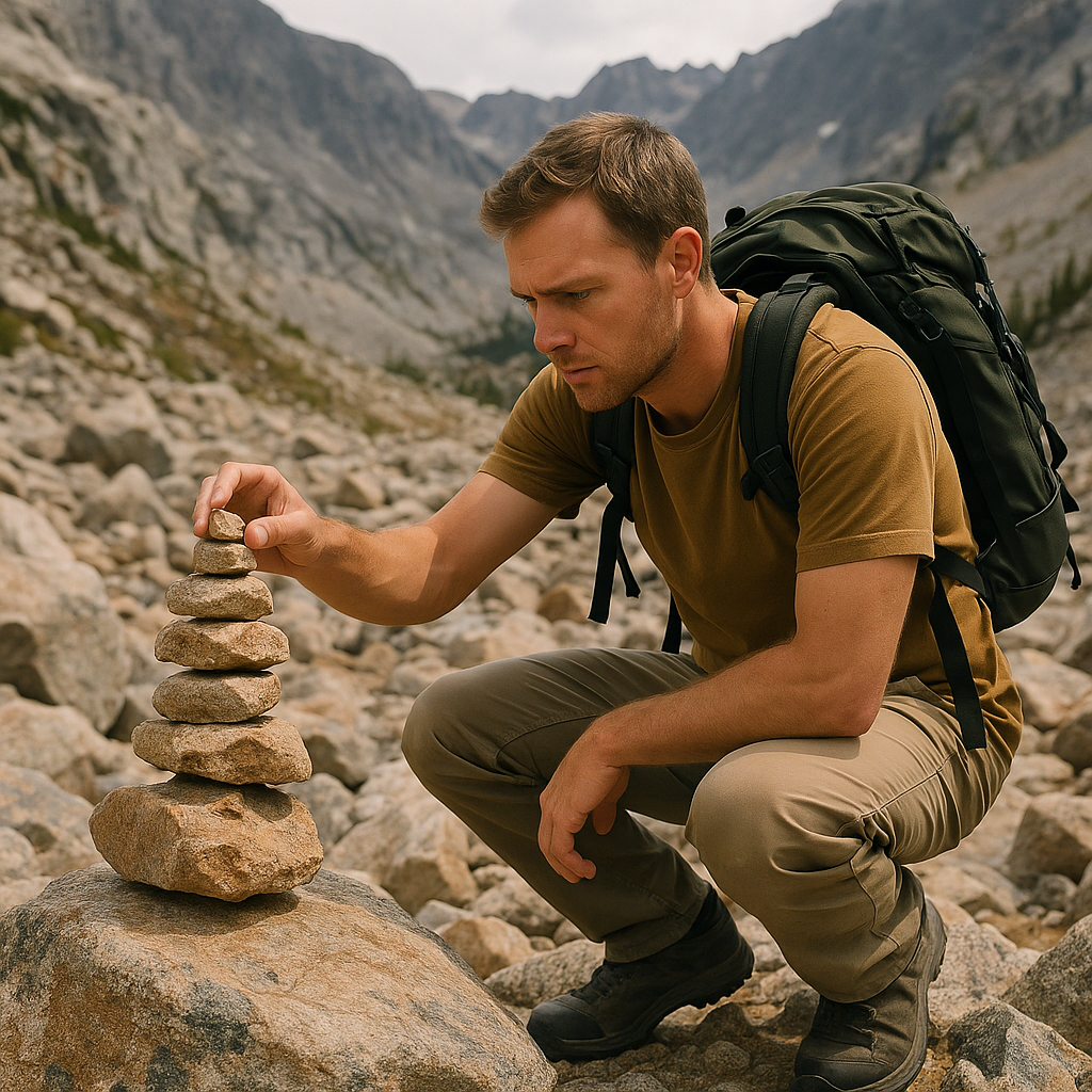
I used to treat cairns like a promise. If there were stacked rocks, I assumed someone smarter than me had already figured out the safe way through. Then I spent an hour in a boulder field watching three different groups follow three different chains of cairns that clearly belonged to three different ideas of where the route was. Since then, I read cairns like a conversation, not a command.
On a faint or unmarked route, a cairn may show that someone has passed through, but it does not necessarily identify an official or appropriate route. It does not tell you whether they were on the established route, shortcutting, or improvising because the tread disappeared under snow, scree, or spring runoff. So I look for context before I commit. Are the stones marking the only obvious way through a slabby section, or are they sitting in a spot where a tired person would stack something just to feel less lost? Do I see any matching wear at ankle height, like scuffed lichen, broken crust on the same rocks, or a faint dust ribbon where boots have landed repeatedly? If it is just one lonely stack and everything else looks untouched, I treat it as a curiosity and keep my feet on the most durable surface.
One trick that has saved me from wandering into nonsense: I stop at each cairn and look back the way I came. If the cairns do not agree with the mapped route or other reliable navigation clues, I stop treating them as guidance. The other tell is spacing. I do not assume that cairn spacing proves a route is official. Before relying on cairns, I check the land manager's trail information and compare the markers with my map and the surrounding terrain.
I'm not building new stacks, either. If I need help, I use my map and my eyes, not a pile of rocks that might mislead the next person. I treat cairns as one clue among several, then check them against the map, terrain, and any guidance from the land manager.
Why I pay attention to steeper slopes
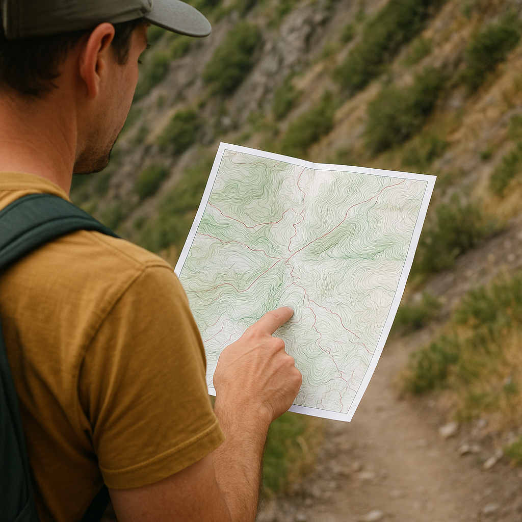
When I look for a quieter hiking route, my first instinct is not to hunt for a line: a dotted path on a topo, a thin gray cut, a heatmap thread that looks quieter than the main approach. I start with an angle instead. Slope angle is the fastest way I know to separate "interesting" from "this will turn into a thrash."
I picked up the habit of listening to avalanche folks talk about terrain. The same habit of paying attention to slope steepness can also be useful in dry-season route planning. When I'm trying to stitch together a quieter route, as slopes get steeper, I start looking more closely at footing, exposure, vegetation, rock quality, and whether the terrain still offers a practical route. Dirt turns to ball bearings, duff slides under you, and any little cliff band you could stroll around on a gentler hillside suddenly becomes a full stop. In the field, this shows up as that feeling where you're always bracing with your calves, and your heels keep skidding. On the map, it shows up as contour lines that stop being readable and start looking like somebody dropped a stack of spaghetti.
Here's how I use it in practice. Before I even lace up, I check the steep bits on a topo and ask one boring question: Is there a natural ramp? Ridges and broad spurs are my friends. Drainages can be fine, but they love to hide brush, slick rock, and choke points. If I see a potential connector that stays on a shoulder instead of diving straight into a gully, that's where I put my pin. And if the only way between two trail segments is a short, steep sidehill that would have me traversing loose stuff with exposure, I don't call it "adventurous." I call it a reason to pick a different day.
On the ground, I keep confirming with small signs that are hard to fake: are there stable rocks embedded like steps, or is everything dinner-plate loose? Do plants look snapped and pushed aside in a narrow line, or is the whole hillside undisturbed? When it is steep enough that I'm using my hands a lot, I assume the route will feel twice as long on the way back down, when tired legs get clumsy.
This isn't about fear. It's about staying in that sweet spot where a lesser-known line feels like a find, not like a mistake you have to solve with stubbornness.
Layer-stacking in CalTopo when the trail is a rumor
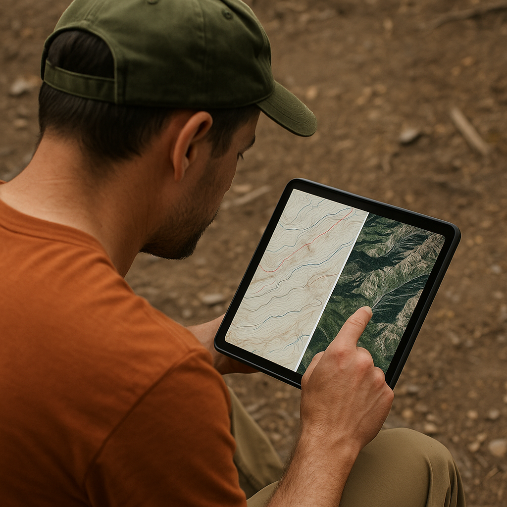
When somebody says, "There's a way up there, but it's not on the sign," I don't go straight to satellite view and start drawing hero lines. I open CalTopo and compare several layers instead of trusting a single view.
My default stack for investigating a faint or lesser-used route is simple: one clean topo base (so I can see ridges, benches, and drainages), then a satellite layer I can toggle for reality checks, then a slope angle shading layer to flag terrain that deserves a closer look. I am not using this to prove the absence of danger. I'm using it to catch the obvious traps before I'm standing in them with no cell service.
The move that has worked over and over is looking for a corridor, not a single line. On topo, I trace where a trail would naturally go if a human had built it: gentle grades, consistent sidehill, and a way to cross any creek where the banks flatten out. Then I flip to satellite imagery and ask: do I see a faint change in vegetation, a thin scar of lighter soil, or a recurring gap in the brush? In dry country, you can sometimes spot a footpath as a paler ribbon. In wet green country, it's often the opposite: the tread is a darker, trampled line that holds moisture differently. Either way, I'm looking for continuity.
Then I do a boring check to keep myself honest: I zoom out and find the bailout. If the rumored connector doesn't show itself within a set distance, where am I going to turn around? What is the last obvious landmark I can navigate back to without relying on memory? I drop a waypoint for that spot, and I name it something I will understand when I'm tired, like LAST CLEAR TREAD or TURN IF BRUSH.
Finally, I download the maps and layers I will need offline before I leave, since CalTopo's offline mobile features require them to be downloaded in advance. Not because it makes a sketchy plan safe, but because it prevents a small wrong turn from becoming a full afternoon of guesswork. The best days like this feel a little secret. The smart ones also end at my car with daylight to spare.